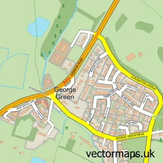
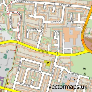
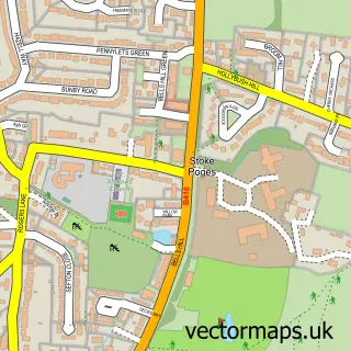
This Iver Heath street map is a detailed vector street map covering a 750m x 750m area. Select a larger area to create and download your own vector street map of Iver Heath.
The 750-metre map sample for Iver Heath covers 136 mapped buildings and approximately 7.3 km of road detail, of which 6 named roads are named. The immediate area includes 1 GP surgery within 2 miles, 3 pubs and 10 MOT stations within 2 miles. The wider area around Iver Heath features 5 food and drink venues. To create a larger or custom map of Iver Heath, the map builder lets you define your own coverage area and download editable SVG, PDF and PNG files.
Create a larger editable map of Iver Heath
Choose any area you need and generate a high-quality vector map instantly. Perfect for print, planning, design, business and personal use.

This Iver Heath street map in Buckinghamshire is available as downloadable SVG, PDF and PNG map files, or as a printed map for planning, business, display, education, local information and design work. You can also create a larger custom map area using the map selector.
What this Iver Heath map sample shows
Iver Heath lies within Iver Cp parish, part of Iver Heath ward in the Buckinghamshire local authority area. The postcode geography for this area includes the SL postcode area, the SL0 postcode district and the SL0 0 postcode sector. Residents fall under the Nhs Buckinghamshire, Oxfordshire And Berkshire West Integrated Care Board for NHS services.
Local features near Iver Heath
Within 2 milesAmenities and services in and around Iver Heath.
Administrative and postcode information for Iver Heath
Iver Heath lies within Iver Cp parish, part of Iver Heath ward in the Buckinghamshire local authority area. The postcode geography for this area includes the SL postcode area, the SL0 postcode district and the SL0 0 postcode sector. Residents fall under the Nhs Buckinghamshire, Oxfordshire And Berkshire West Integrated Care Board for NHS services.
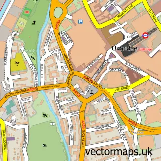
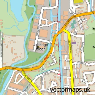
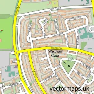
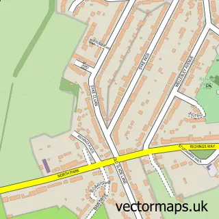
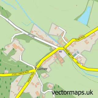
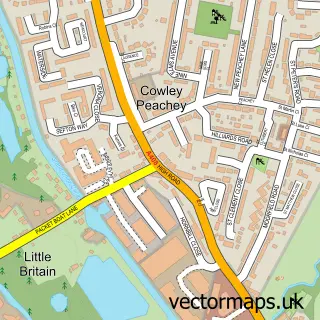
Nearby street map samples around Iver Heath

More street maps in Buckinghamshire
750 metre map area coverage
Boundary, postcode and point of interest information for the 750m x 750m rectangle centred on this sample map.
Boundaries containing map centre
Constituency: Beaconsfield Co Const
District: Buckinghamshire
Icb: NHS Thames Valley ICB
Parish: Iver CP
Police Force: thames valley
Postcode District: SL0
Postcode Sector: SL0 0
Ward: Iver Ward
Nearby boundaries intersecting sample
Parish: Wexham CP
Ward: Farnhams & Stoke Poges Ward
Postcode coverage
POI category counts
Pub: 3
Automotive Repair: 2
Coffee Shop: 2
Gas Station: 2
Advertising Agency: 1
Gardener: 1
Indian Restaurant: 1
Package Locker: 1
Pakistani Restaurant: 1
Parking: 1
Sample points of interest
- Elements of Design
- PJ Automotive
- Track Wheel Car Services UK 澤矅汽車服務
- Costa Coffee
- Costa Express
- BLUNTBUSTERS Sharpening
- ESSO IVER HEATH TESCO EXPRESS
- Esso
- The Saucy Indian
- InPost
- Lahore Karahi Iver
- M&m
Create a larger editable map of Iver Heath
This sample shows only a 750 metre area. To create a larger map of Iver Heath, use our map builder to choose your own coverage area, add titles and download editable SVG, PDF and PNG files.
Create a custom map of Iver Heath