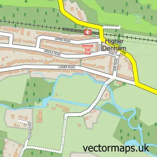
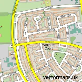
This Fulmer street map is a detailed vector street map covering a 750m x 750m area. Select a larger area to create and download your own vector street map of Fulmer.
The 750-metre map sample for Fulmer covers 104 mapped buildings and approximately 9.1 km of road detail, of which 6 named roads are named. The immediate area includes 1 school, 1 GP surgery within 2 miles, 2 pubs and 3 MOT stations within 2 miles. The wider area around Fulmer features 1 tourism point of interest and 2 food and drink venues. To create a larger or custom map of Fulmer, the map builder lets you define your own coverage area and download editable SVG, PDF and PNG files.
Create a larger editable map of Fulmer
Choose any area you need and generate a high-quality vector map instantly. Perfect for print, planning, design, business and personal use.

This Fulmer street map in Buckinghamshire is available as downloadable SVG, PDF and PNG map files, or as a printed map for planning, business, display, education, local information and design work. You can also create a larger custom map area using the map selector.
What this Fulmer map sample shows
Fulmer lies within Fulmer Cp parish, part of Wexham & Fulmer ward in the Buckinghamshire local authority area. The postcode geography for this area includes the SL postcode area, the SL3 postcode district and the SL3 6 postcode sector. Residents fall under the Nhs Buckinghamshire, Oxfordshire And Berkshire West Integrated Care Board for NHS services.
Local features near Fulmer
Within 2 milesAmenities and services in and around Fulmer.
Administrative and postcode information for Fulmer
Fulmer lies within Fulmer Cp parish, part of Wexham & Fulmer ward in the Buckinghamshire local authority area. The postcode geography for this area includes the SL postcode area, the SL3 postcode district and the SL3 6 postcode sector. Residents fall under the Nhs Buckinghamshire, Oxfordshire And Berkshire West Integrated Care Board for NHS services.
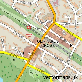
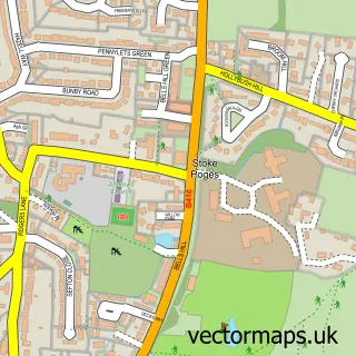
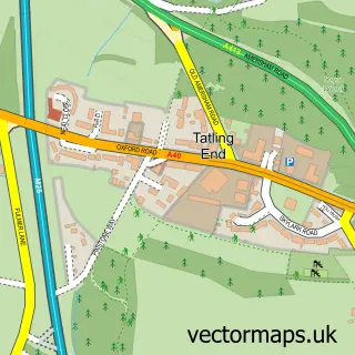
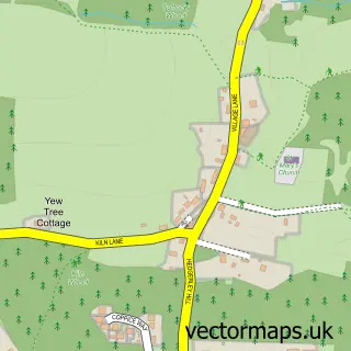
Nearby street map samples around Fulmer

More street maps in Buckinghamshire
750 metre map area coverage
Boundary, postcode and point of interest information for the 750m x 750m rectangle centred on this sample map.
Boundaries containing map centre
Constituency: Beaconsfield Co Const
District: Buckinghamshire
Icb: NHS Thames Valley ICB
Parish: Fulmer CP
Police Force: thames valley
Postcode District: SL3
Postcode Sector: SL3 6
Ward: Farnhams & Stoke Poges Ward
Nearby boundaries intersecting sample
Parish: Stoke Poges CP
Postcode District: SL2
Postcode Sector: SL2 4
Postcode coverage
POI category counts
Pub: 2
Anglican Church: 1
Automotive Services And Repair: 1
Beauty Salon: 1
Child Care And Day Care: 1
Church Cathedral: 1
Community Center: 1
Day Care Preschool: 1
Elementary School: 1
Gym: 1
Sample points of interest
- Fulmer: St James
- Cancer Active
- Moala Beauty
- Beehive & Honeycomb Nursery
- St. James's Church
- Fulmer Village Hall
- Fulmer Nursery
- Fulmer Infant School
- The Studio
- Fulmer Place
- Fulmer Village Hall
- Black Horse
Create a larger editable map of Fulmer
This sample shows only a 750 metre area. To create a larger map of Fulmer, use our map builder to choose your own coverage area, add titles and download editable SVG, PDF and PNG files.
Create a custom map of Fulmer