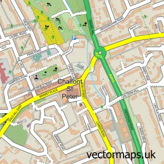
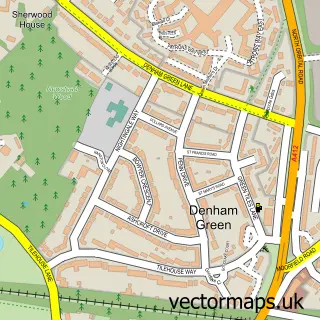
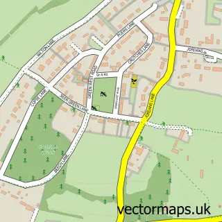
This Gerrards Cross street map is a detailed vector street map covering a 750m x 750m area. Select a larger area to create and download your own vector street map of Gerrards Cross.
The 750-metre map sample for Gerrards Cross covers 298 mapped buildings and approximately 20.0 km of road detail, of which 23 named roads are named. The immediate area includes 1 railway station, 3 GP surgeries within 2 miles, 1 pub and 1 MOT station, with 4 within 2 miles. The wider area around Gerrards Cross features 2 tourism points of interest, 14 food and drink venues and 3 hotels. To create a larger or custom map of Gerrards Cross, the map builder lets you define your own coverage area and download editable SVG, PDF and PNG files.
Create a larger editable map of Gerrards Cross
Choose any area you need and generate a high-quality vector map instantly. Perfect for print, planning, design, business and personal use.

This Gerrards Cross street map in Buckinghamshire is available as downloadable SVG, PDF and PNG map files, or as a printed map for planning, business, display, education, local information and design work. You can also create a larger custom map area using the map selector.
What this Gerrards Cross map sample shows
Gerrards Cross lies within Gerrards Cross Cp parish, part of Gerrards Cross ward in the Buckinghamshire local authority area. The postcode geography for this area includes the SL postcode area, the SL9 postcode district and the SL9 7 postcode sector. Residents fall under the Nhs Buckinghamshire, Oxfordshire And Berkshire West Integrated Care Board for NHS services.
Local features near Gerrards Cross
Within 2 milesAmenities and services in and around Gerrards Cross.
Administrative and postcode information for Gerrards Cross
The local authority covering Gerrards Cross is Buckinghamshire, within the county of Buckinghamshire. The settlement lies within Gerrards Cross ward and Gerrards Cross Cp civil parish. The SL9 postcode district and SL9 7 postcode sector serve the immediate area. NHS provision in the area is delivered through Frimley Health Nhs Foundation Trust.
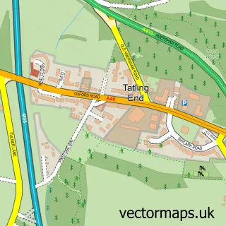
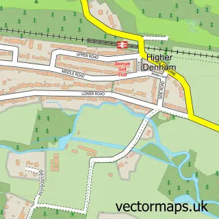
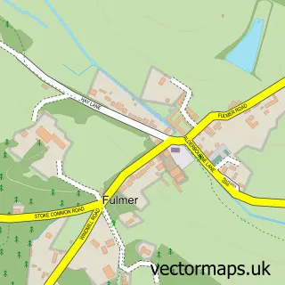
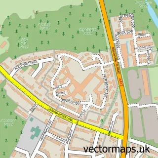
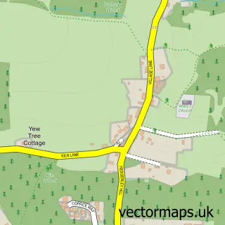
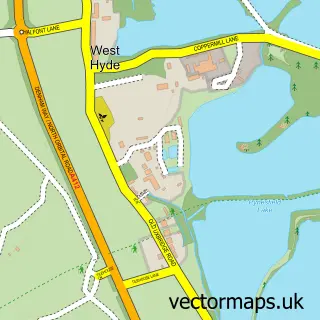
Nearby street map samples around Gerrards Cross

More street maps in Buckinghamshire
750 metre map area coverage
Boundary, postcode and point of interest information for the 750m x 750m rectangle centred on this sample map.
Boundaries containing map centre
Constituency: Chesham and Amersham Co Const
District: Buckinghamshire
Icb: NHS Thames Valley ICB
Parish: Gerrards Cross CP
Police Force: thames valley
Postcode District: SL9
Postcode Sector: SL9 7
Ward: Gerrards Cross & Denham Ward
Nearby boundaries intersecting sample
Postcode Sector: SL9 8
Postcode coverage
POI category counts
Real Estate Agent: 16
Beauty Salon: 11
Hair Salon: 7
Parking: 7
Business Management Services: 6
Cafe: 6
Charity Organization: 6
Clothing Store: 6
Dentist: 5
Furniture Store: 5
Sample points of interest
- Nunn Hayward LLP
- Prestige Business Services Offshore - Gerrards Cross Buckinghamshire
- TaxAssist Accountants
- Atama
- Sparx Communications
- The Wonky Agency
- Vontoro Digital
- Shaw Trust - Charity shop - Gerrards Cross
- The Antiques Workshop
- Fields Domestic Appliances & Kitchens
- Mosaic Theatre
- Swarthmore Residential Care Home
Create a larger editable map of Gerrards Cross
This sample shows only a 750 metre area. To create a larger map of Gerrards Cross, use our map builder to choose your own coverage area, add titles and download editable SVG, PDF and PNG files.
Create a custom map of Gerrards Cross