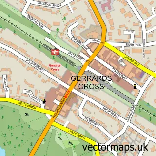
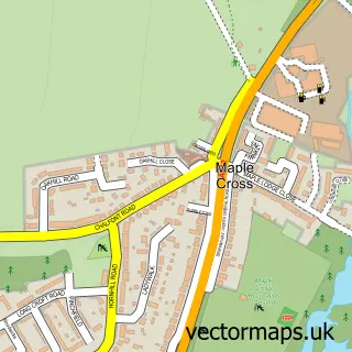
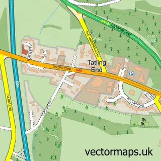
This Chalfont St Peter street map is a detailed vector street map covering a 750m x 750m area. Select a larger area to create and download your own vector street map of Chalfont St Peter.
The 750-metre map sample for Chalfont St Peter covers 453 mapped buildings and approximately 24.6 km of road detail, of which 39 named roads are named. The immediate area includes 1 school, 3 GP surgeries, 4 pubs and 1 MOT station, with 3 within 2 miles. The wider area around Chalfont St Peter features 1 tourism point of interest and 13 food and drink venues. To create a larger or custom map of Chalfont St Peter, the map builder lets you define your own coverage area and download editable SVG, PDF and PNG files.
Create a larger editable map of Chalfont St Peter
Choose any area you need and generate a high-quality vector map instantly. Perfect for print, planning, design, business and personal use.

This Chalfont St Peter street map in Buckinghamshire is available as downloadable SVG, PDF and PNG map files, or as a printed map for planning, business, display, education, local information and design work. You can also create a larger custom map area using the map selector.
What this Chalfont St Peter map sample shows
Chalfont St Peter lies within Chalfont St. Peter Cp parish, part of Central ward in the Buckinghamshire local authority area. The postcode geography for this area includes the SL postcode area, the SL9 postcode district and the SL9 9 postcode sector. Residents fall under the Nhs Buckinghamshire, Oxfordshire And Berkshire West Integrated Care Board for NHS services.
Local features near Chalfont St Peter
Within 2 milesAmenities and services in and around Chalfont St Peter.
Administrative and postcode information for Chalfont St Peter
The local authority covering Chalfont St Peter is Buckinghamshire, within the county of Buckinghamshire. The settlement lies within Central ward and Chalfont St. Peter Cp civil parish. The SL9 postcode district and SL9 9 postcode sector serve the immediate area. NHS provision in the area is delivered through Frimley Health Nhs Foundation Trust.
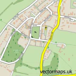
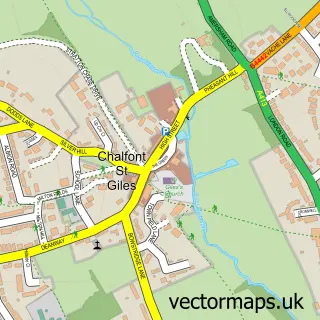
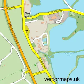
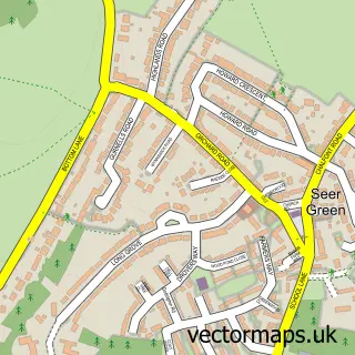
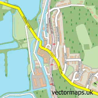
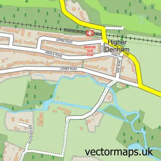
Nearby street map samples around Chalfont St Peter

More street maps in Buckinghamshire
750 metre map area coverage
Boundary, postcode and point of interest information for the 750m x 750m rectangle centred on this sample map.
Boundaries containing map centre
Constituency: Chesham and Amersham Co Const
District: Buckinghamshire
Icb: NHS Thames Valley ICB
Parish: Chalfont St. Peter CP
Police Force: thames valley
Postcode District: SL9
Postcode Sector: SL9 9
Ward: Chalfont St. Peter Ward
Nearby boundaries intersecting sample
Postcode Sector: SL9 0
Postcode coverage
POI category counts
Doctor: 10
Beauty Salon: 9
Building Supply Store: 6
Professional Services: 6
Real Estate Agent: 6
Barber: 5
Dentist: 5
Indian Restaurant: 5
Advertising Agency: 4
Business Management Services: 4
Sample points of interest
- Lane Accounting Ltd
- Acupuncture & Herbs
- Acertis
- Act Studios
- Davies Leslie-smith
- Ferro Design
- HMG Carr
- Chalfont St Peter Ambulance Station
- St Peter's Parish Church
- Barnardo's
- Able Appliances
- Kent Domestic Appliances
Create a larger editable map of Chalfont St Peter
This sample shows only a 750 metre area. To create a larger map of Chalfont St Peter, use our map builder to choose your own coverage area, add titles and download editable SVG, PDF and PNG files.
Create a custom map of Chalfont St Peter