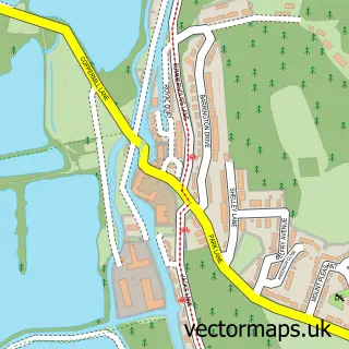
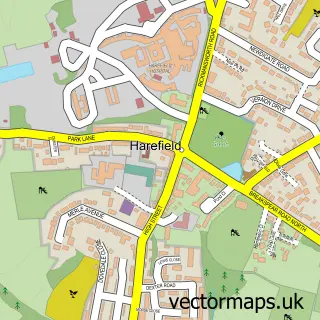
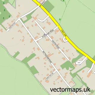
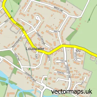
This West Hyde street map is a detailed vector street map covering a 750m x 750m area. Select a larger area to create and download your own vector street map of West Hyde.
The 750-metre map sample for West Hyde covers 55 mapped buildings and approximately 14.7 km of road detail, of which 6 named roads are named. The immediate area includes 2 GP surgeries within 2 miles, 2 pubs and 7 MOT stations within 2 miles. The wider area around West Hyde features 2 food and drink venues. To create a larger or custom map of West Hyde, the map builder lets you define your own coverage area and download editable SVG, PDF and PNG files.
Create a larger editable map of West Hyde
Choose any area you need and generate a high-quality vector map instantly. Perfect for print, planning, design, business and personal use.

This West Hyde street map in Hertfordshire is available as downloadable SVG, PDF and PNG map files, or as a printed map for planning, business, display, education, local information and design work. You can also create a larger custom map area using the map selector.
What this West Hyde map sample shows
West Hyde lies within Hertfordshire County parish, part of Chorleywood South & Maple Cross ward in the Three Rivers District local authority area. The postcode geography for this area includes the WD postcode area, the WD3 postcode district and the WD3 9 postcode sector. Residents fall under the Nhs Hertfordshire And West Essex Integrated Care Board for NHS services.
Local features near West Hyde
Within 2 milesAmenities and services in and around West Hyde.
Administrative and postcode information for West Hyde
The local authority covering West Hyde is Three Rivers District, within the county of Hertfordshire. The settlement lies within Chorleywood South & Maple Cross ward and Hertfordshire County civil parish. The WD3 postcode district and WD3 9 postcode sector serve the immediate area. NHS provision in the area is delivered through West Hertfordshire Teaching Hospitals Nhs Trust.
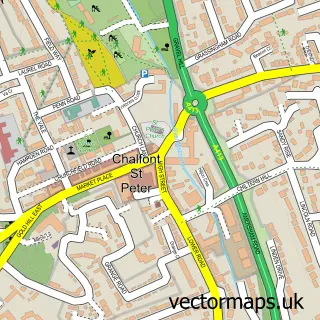
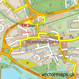
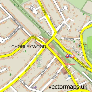
Nearby street map samples around West Hyde

More street maps in Hertfordshire
750 metre map area coverage
Boundary, postcode and point of interest information for the 750m x 750m rectangle centred on this sample map.
Boundaries containing map centre
Constituency: South West Hertfordshire Co Const
County: Hertfordshire County
District: Three Rivers District
Icb: NHS Central East ICB
Police Force: hertfordshire
Postcode District: WD3
Postcode Sector: WD3 9
Ward: Chorleywood South & Maple Cross Ward
Nearby boundaries intersecting sample
No additional intersecting boundaries found.
Postcode coverage
POI category counts
Electronics: 2
Freight And Cargo Service: 2
Pub: 2
Tree Services: 2
Auto Body Shop: 1
Automotive Repair: 1
Beer Bar: 1
Carpenter: 1
Computer Store: 1
Inspection Services: 1
Sample points of interest
- Winton Panelcraft
- Motor Masters
- The Oaks Bar and Grill, West Hyde
- T. D. Carpentry & Joinery
- Airconforall.com
- B E Security Systems
- Rickmansworth Alarms And Cctv Ltd.
- Chiltern Transport & Warehouse
- SAE Logistics
- Bestoff Contracts Ltd.
- Androulla Gordon
- The Oaks
Create a larger editable map of West Hyde
This sample shows only a 750 metre area. To create a larger map of West Hyde, use our map builder to choose your own coverage area, add titles and download editable SVG, PDF and PNG files.
Create a custom map of West Hyde