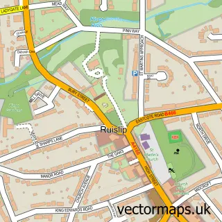
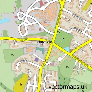
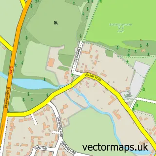
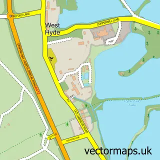
This South Harefield street map is a detailed vector street map covering a 750m x 750m area. Select a larger area to create and download your own vector street map of South Harefield.
The 750-metre map sample for South Harefield covers 209 mapped buildings and approximately 8.8 km of road detail, of which 14 named roads are named. The immediate area includes 2 GP surgeries within 2 miles, 2 pubs and 5 MOT stations within 2 miles. The wider area around South Harefield features 2 tourism points of interest and 3 food and drink venues. To create a larger or custom map of South Harefield, the map builder lets you define your own coverage area and download editable SVG, PDF and PNG files.
Create a larger editable map of South Harefield
Choose any area you need and generate a high-quality vector map instantly. Perfect for print, planning, design, business and personal use.

This South Harefield street map in Greater London is available as downloadable SVG, PDF and PNG map files, or as a printed map for planning, business, display, education, local information and design work. You can also create a larger custom map area using the map selector.
What this South Harefield map sample shows
South Harefield lies within Greater London Authority parish, part of Harefield ward in the Hillingdon London Boro local authority area. The postcode geography for this area includes the UB postcode area, the UB9 postcode district and the UB9 6 postcode sector. Residents fall under the Nhs North West London Integrated Care Board for NHS services.
Local features near South Harefield
Within 2 milesAmenities and services in and around South Harefield.
Administrative and postcode information for South Harefield
The local authority covering South Harefield is Hillingdon London Boro, within the county of Greater London. The settlement lies within Harefield ward and Greater London Authority civil parish. The UB9 postcode district and UB9 6 postcode sector serve the immediate area. NHS provision in the area is delivered through The Hillingdon Hospitals Nhs Foundation Trust.
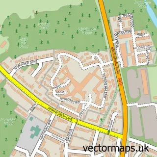
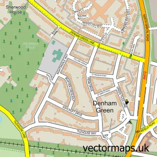
Nearby street map samples around South Harefield

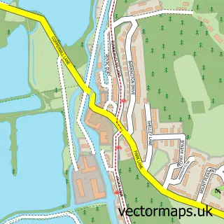
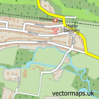
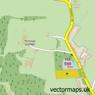
More street maps in Greater London
750 metre map area coverage
Boundary, postcode and point of interest information for the 750m x 750m rectangle centred on this sample map.
Boundaries containing map centre
Constituency: Uxbridge and South Ruislip Boro Const
County: Greater London Authority
District: Hillingdon London Boro
Icb: NHS West and North London IC
Police Force: metropolitan
Postcode District: UB9
Postcode Sector: UB9 6
Ward: Ickenham & South Harefield Ward
Nearby boundaries intersecting sample
No additional intersecting boundaries found.
Postcode coverage
POI category counts
Convenience Store: 4
Professional Services: 3
Marina: 2
Pub: 2
Womens Clothing Store: 2
Advertising Agency: 1
African Restaurant: 1
Atms: 1
Bar: 1
Beauty Salon: 1
Sample points of interest
- Push Group
- The Hubb Restaurant
- Londis Harefield(Protected) , Harefield
- Balans Drinks
- Luisa Ansell - Nail Designs
- Igo Tours Ltd.
- Widewater Cafe
- Wide Water Lock 86
- London House International
- Harefield Community Centre
- Best-one
- Harvill Road Post Office, Best-One
Create a larger editable map of South Harefield
This sample shows only a 750 metre area. To create a larger map of South Harefield, use our map builder to choose your own coverage area, add titles and download editable SVG, PDF and PNG files.
Create a custom map of South Harefield