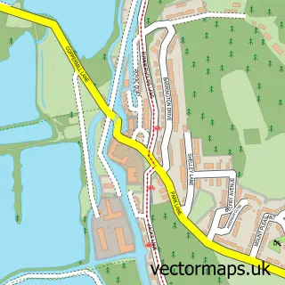
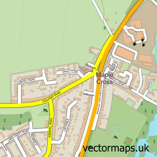
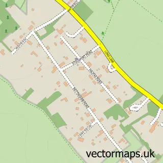
This Hill End street map is a detailed vector street map covering a 750m x 750m area. Select a larger area to create and download your own vector street map of Hill End.
The 750-metre map sample for Hill End covers 80 mapped buildings and approximately 2.9 km of road detail, of which 3 named roads are named. The immediate area includes 4 GP surgeries within 2 miles and 7 MOT stations within 2 miles. To create a larger or custom map of Hill End, the map builder lets you define your own coverage area and download editable SVG, PDF and PNG files.
Create a larger editable map of Hill End
Choose any area you need and generate a high-quality vector map instantly. Perfect for print, planning, design, business and personal use.

This Hill End street map in Greater London is available as downloadable SVG, PDF and PNG map files, or as a printed map for planning, business, display, education, local information and design work. You can also create a larger custom map area using the map selector.
What this Hill End map sample shows
Hill End lies within Greater London Authority parish, part of Harefield ward in the Hillingdon London Boro local authority area. The postcode geography for this area includes the UB postcode area, the UB9 postcode district and the UB9 6 postcode sector. Residents fall under the Nhs North West London Integrated Care Board for NHS services.
Local features near Hill End
Within 2 milesAmenities and services in and around Hill End.
Administrative and postcode information for Hill End
Hill End lies within Greater London Authority parish, part of Harefield ward in the Hillingdon London Boro local authority area. The postcode geography for this area includes the UB postcode area, the UB9 postcode district and the UB9 6 postcode sector. Residents fall under the Nhs North West London Integrated Care Board for NHS services.
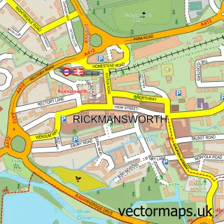
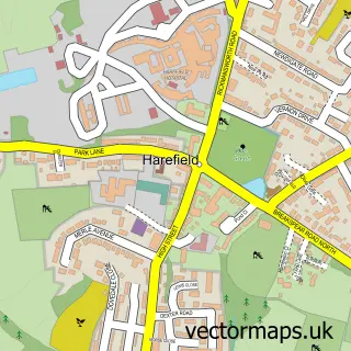
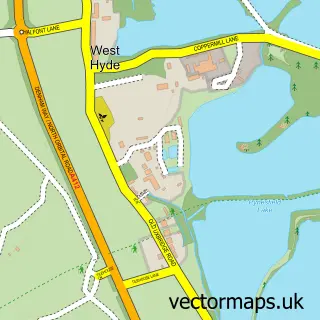
Nearby street map samples around Hill End

More street maps in Greater London
750 metre map area coverage
Boundary, postcode and point of interest information for the 750m x 750m rectangle centred on this sample map.
Boundaries containing map centre
Constituency: Ruislip, Northwood and Pinner Boro Const
County: Greater London Authority
District: Hillingdon London Boro
Icb: NHS West and North London IC
Police Force: metropolitan
Postcode District: UB9
Postcode Sector: UB9 6
Ward: Harefield Village Ward
Nearby boundaries intersecting sample
No additional intersecting boundaries found.
Postcode coverage
POI category counts
Equestrian Facility: 2
Plumbing: 2
Active Life: 1
Building Supply Store: 1
Garbage Collection Service: 1
Home Health Care: 1
Ice Cream Shop: 1
Professional Services: 1
Tea Room: 1
Sample points of interest
- Wood Hall & Heward
- Target Roofing & Property Maintenance
- Cripps House Equestrian
- F&L Equestrian
- Hep Oils Ltd
- The Harefield Care Home
- Whiteheath Farm Ice Cream
- LCR Plumbing & Heating
- Williams Plumbing & Heating
- Hep Oils
- Mitchell's Village Kitchen
Create a larger editable map of Hill End
This sample shows only a 750 metre area. To create a larger map of Hill End, use our map builder to choose your own coverage area, add titles and download editable SVG, PDF and PNG files.
Create a custom map of Hill End