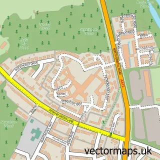
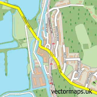
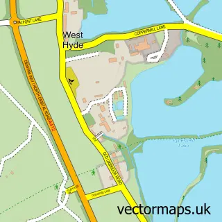
This Denham Green street map is a detailed vector street map covering a 750m x 750m area. Select a larger area to create and download your own vector street map of Denham Green.
The 750-metre map sample for Denham Green covers 295 mapped buildings and approximately 17.5 km of road detail, of which 28 named roads are named. The immediate area includes 1 school, 1 GP surgery and 5 MOT stations within 2 miles. The wider area around Denham Green features 1 tourism point of interest, 3 food and drink venues and 1 hotel. To create a larger or custom map of Denham Green, the map builder lets you define your own coverage area and download editable SVG, PDF and PNG files.
Create a larger editable map of Denham Green
Choose any area you need and generate a high-quality vector map instantly. Perfect for print, planning, design, business and personal use.

This Denham Green street map in Buckinghamshire is available as downloadable SVG, PDF and PNG map files, or as a printed map for planning, business, display, education, local information and design work. You can also create a larger custom map area using the map selector.
What this Denham Green map sample shows
Denham Green lies within Denham Cp parish, part of Denham ward in the Buckinghamshire local authority area. The postcode geography for this area includes the UB postcode area, the UB9 postcode district and the UB9 5 postcode sector. Residents fall under the Nhs Buckinghamshire, Oxfordshire And Berkshire West Integrated Care Board for NHS services.
Local features near Denham Green
Within 2 milesAmenities and services in and around Denham Green.
Administrative and postcode information for Denham Green
Denham Green lies within Denham Cp parish, part of Denham ward in the Buckinghamshire local authority area. The postcode geography for this area includes the UB postcode area, the UB9 postcode district and the UB9 5 postcode sector. Residents fall under the Nhs Buckinghamshire, Oxfordshire And Berkshire West Integrated Care Board for NHS services.
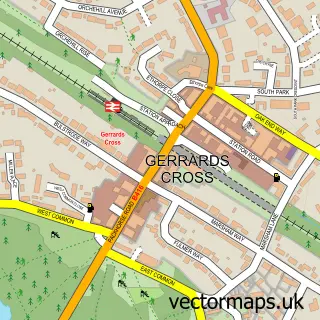
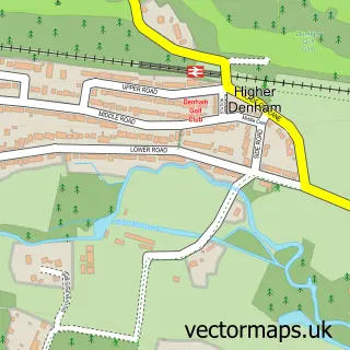
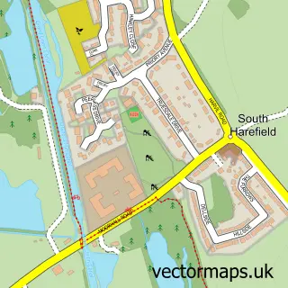
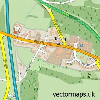
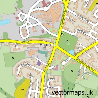
Nearby street map samples around Denham Green

More street maps in Buckinghamshire
750 metre map area coverage
Boundary, postcode and point of interest information for the 750m x 750m rectangle centred on this sample map.
Boundaries containing map centre
Constituency: Beaconsfield Co Const
District: Buckinghamshire
Icb: NHS Thames Valley ICB
Parish: Denham CP
Police Force: thames valley
Postcode District: UB9
Postcode Sector: UB9 5
Ward: Gerrards Cross & Denham Ward
Nearby boundaries intersecting sample
No additional intersecting boundaries found.
Postcode coverage
POI category counts
Convenience Store: 6
Atms: 4
Retirement Home: 4
Dentist: 3
Package Locker: 3
Assisted Living Facility: 2
Beauty Salon: 2
Building Supply Store: 2
Butcher Shop: 2
Charity Organization: 2
Sample points of interest
- Denham Osteopathy & Sports Injury Clinic
- Denham Green: St Mark's Hall
- Monk Nepalese Restaurant
- Anchor - Denham Garden Village
- Poppy Cottage
- ANCHOR TRUST
- Fine Foods & Wine Store Ltd (CZI) Day To Day
- Shell Budgens Denham, Denham
- The Cooperative Food Denham North Orbital Road (Project McCarthy & Stone), Denham
- Bosch Aftermarket UK & Ireland
- Wenzel's the Bakers
- Eden Health & Wellness
Create a larger editable map of Denham Green
This sample shows only a 750 metre area. To create a larger map of Denham Green, use our map builder to choose your own coverage area, add titles and download editable SVG, PDF and PNG files.
Create a custom map of Denham Green