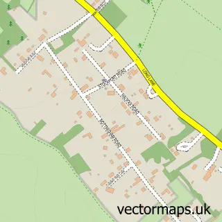
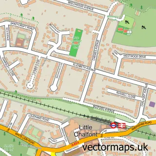
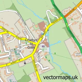
This Chorleywood street map is a detailed vector street map covering a 750m x 750m area. Select a larger area to create and download your own vector street map of Chorleywood.
The 750-metre map sample for Chorleywood covers 454 mapped buildings and approximately 19.8 km of road detail, of which 28 named roads are named. The immediate area includes 1 railway station, 1 pub and 4 MOT stations within 2 miles. The wider area around Chorleywood features 7 food and drink venues and 1 campsite within 2 miles. To create a larger or custom map of Chorleywood, the map builder lets you define your own coverage area and download editable SVG, PDF and PNG files.
Create a larger editable map of Chorleywood
Choose any area you need and generate a high-quality vector map instantly. Perfect for print, planning, design, business and personal use.

This Chorleywood street map in Hertfordshire is available as downloadable SVG, PDF and PNG map files, or as a printed map for planning, business, display, education, local information and design work. You can also create a larger custom map area using the map selector.
What this Chorleywood map sample shows
Chorleywood lies within Chorleywood Cp parish, part of Chorleywood South & Maple Cross ward in the Three Rivers District local authority area. The postcode geography for this area includes the WD postcode area, the WD3 postcode district and the WD3 5 postcode sector. Residents fall under the Nhs Hertfordshire And West Essex Integrated Care Board for NHS services.
Local features near Chorleywood
Within 2 milesAmenities and services in and around Chorleywood.
Administrative and postcode information for Chorleywood
The local authority covering Chorleywood is Three Rivers District, within the county of Hertfordshire. The settlement lies within Chorleywood South & Maple Cross ward and Chorleywood Cp civil parish. The WD3 postcode district and WD3 5 postcode sector serve the immediate area. NHS provision in the area is delivered through West Hertfordshire Teaching Hospitals Nhs Trust.
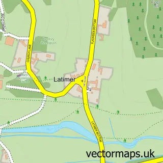
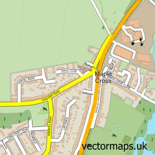
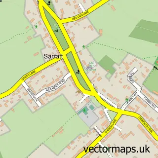
Nearby street map samples around Chorleywood

More street maps in Hertfordshire
750 metre map area coverage
Boundary, postcode and point of interest information for the 750m x 750m rectangle centred on this sample map.
Boundaries containing map centre
Constituency: South West Hertfordshire Co Const
County: Hertfordshire County
District: Three Rivers District
Icb: NHS Central East ICB
Parish: Chorleywood CP
Police Force: hertfordshire
Postcode District: WD3
Postcode Sector: WD3 5
Ward: Chorleywood South & Maple Cross Ward
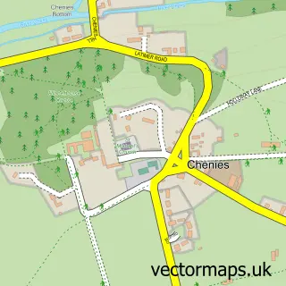
Nearby boundaries intersecting sample
Constituency: Chesham and Amersham Co Const
District: Buckinghamshire
Icb: NHS Thames Valley ICB
Parish: Chenies CP
Police Force: thames valley
Ward: Chalfont St. Giles & Little Chalfont Ward, Chorleywood North & Sarratt Ward
Postcode coverage
POI category counts
Professional Services: 5
Dentist: 4
Train Station: 4
Bakery: 3
Banks: 3
Beauty Salon: 3
Bookstore: 3
Building Supply Store: 3
Cafe: 3
Coffee Shop: 3
Sample points of interest
- Bucks Osteopathy & Physio
- The Antique Collective
- Blues Brothers Banned
- Sujoy
- Hurstleigh Residential Home
- Thorpedale Residential Home
- Securi-Smart
- Auto Lounge Textiles
- Beth's Buns
- Simmons Bakers
- Simmons Bakers Ltd
- Lloyds Bank
Create a larger editable map of Chorleywood
This sample shows only a 750 metre area. To create a larger map of Chorleywood, use our map builder to choose your own coverage area, add titles and download editable SVG, PDF and PNG files.
Create a custom map of Chorleywood