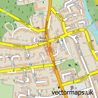
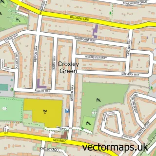
This Sarratt street map is a detailed vector street map covering a 750m x 750m area. Select a larger area to create and download your own vector street map of Sarratt.
The 750-metre map sample for Sarratt covers 256 mapped buildings and approximately 9.3 km of road detail, of which 11 named roads are named. The immediate area includes 1 school, 3 pubs and 1 MOT station, with 2 within 2 miles. The wider area around Sarratt features 1 tourism point of interest, 4 food and drink venues and 1 campsite within 2 miles. To create a larger or custom map of Sarratt, the map builder lets you define your own coverage area and download editable SVG, PDF and PNG files.
Create a larger editable map of Sarratt
Choose any area you need and generate a high-quality vector map instantly. Perfect for print, planning, design, business and personal use.

This Sarratt street map in Hertfordshire is available as downloadable SVG, PDF and PNG map files, or as a printed map for planning, business, display, education, local information and design work. You can also create a larger custom map area using the map selector.
What this Sarratt map sample shows
Sarratt lies within Sarratt Cp parish, part of Chorleywood North & Sarratt ward in the Three Rivers District local authority area. The postcode geography for this area includes the WD postcode area, the WD3 postcode district and the WD3 6 postcode sector. Residents fall under the Nhs Hertfordshire And West Essex Integrated Care Board for NHS services.
Local features near Sarratt
Within 2 milesAmenities and services in and around Sarratt.
Administrative and postcode information for Sarratt
The local authority covering Sarratt is Three Rivers District, within the county of Hertfordshire. The settlement lies within Chorleywood North & Sarratt ward and Sarratt Cp civil parish. The WD3 postcode district and WD3 6 postcode sector serve the immediate area. NHS provision in the area is delivered through West Hertfordshire Teaching Hospitals Nhs Trust.
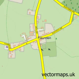
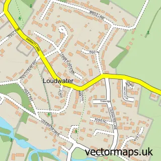
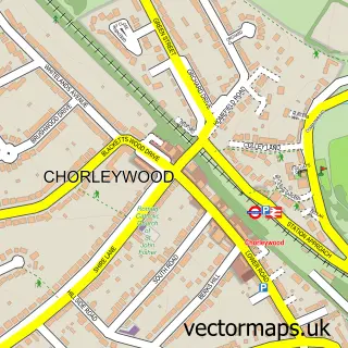
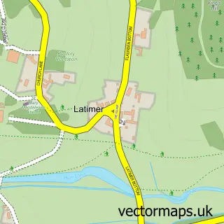
Nearby street map samples around Sarratt

More street maps in Hertfordshire
750 metre map area coverage
Boundary, postcode and point of interest information for the 750m x 750m rectangle centred on this sample map.
Boundaries containing map centre
Constituency: South West Hertfordshire Co Const
County: Hertfordshire County
District: Three Rivers District
Icb: NHS Central East ICB
Parish: Sarratt CP
Police Force: hertfordshire
Postcode District: WD3
Postcode Sector: WD3 6
Ward: Chorleywood North & Sarratt Ward
Nearby boundaries intersecting sample
No additional intersecting boundaries found.
Postcode coverage
POI category counts
Church Cathedral: 2
Elementary School: 2
Employment Agencies: 2
Professional Services: 2
Pub: 2
Telecommunications: 2
Auto Customization: 1
Beauty And Spa: 1
Cafe: 1
Community Center: 1
Sample points of interest
- Auto Lounge Textiles
- AmyCampbellHair
- Sarratt Green Cafe
- HCSP - Benefice of Holy Cross Sarratt & St. Paul's Church Chipperfield
- Selah Church - Sarratt
- Sarratt Village Hall
- Londis
- New Road Surgery - Church Lane
- Sarratt C Of E School
- Sarratt Church of England Primary School
- Elisabeth Smith
- Ernest Hunter Green
Create a larger editable map of Sarratt
This sample shows only a 750 metre area. To create a larger map of Sarratt, use our map builder to choose your own coverage area, add titles and download editable SVG, PDF and PNG files.
Create a custom map of Sarratt