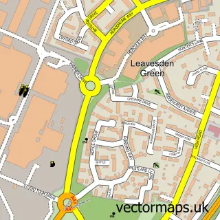
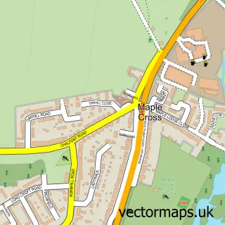
This Croxley Green street map is a detailed vector street map covering a 750m x 750m area. Select a larger area to create and download your own vector street map of Croxley Green.
The 750-metre map sample for Croxley Green covers 526 mapped buildings and approximately 15.9 km of road detail, of which 24 named roads are named. The immediate area includes 2 schools, 1 GP surgery, with 6 within 2 miles, 2 pubs and 1 MOT station, with 13 within 2 miles. The wider area around Croxley Green features 3 food and drink venues. To create a larger or custom map of Croxley Green, the map builder lets you define your own coverage area and download editable SVG, PDF and PNG files.
Create a larger editable map of Croxley Green
Choose any area you need and generate a high-quality vector map instantly. Perfect for print, planning, design, business and personal use.

This Croxley Green street map in Hertfordshire is available as downloadable SVG, PDF and PNG map files, or as a printed map for planning, business, display, education, local information and design work. You can also create a larger custom map area using the map selector.
What this Croxley Green map sample shows
Croxley Green lies within Croxley Green Cp parish, part of Dickinsons ward in the Three Rivers District local authority area. The postcode geography for this area includes the WD postcode area, the WD3 postcode district and the WD3 3 postcode sector. Residents fall under the Nhs Hertfordshire And West Essex Integrated Care Board for NHS services.
Local features near Croxley Green
Within 2 milesAmenities and services in and around Croxley Green.
Administrative and postcode information for Croxley Green
Croxley Green lies within Croxley Green Cp parish, part of Dickinsons ward in the Three Rivers District local authority area. The postcode geography for this area includes the WD postcode area, the WD3 postcode district and the WD3 3 postcode sector. Residents fall under the Nhs Hertfordshire And West Essex Integrated Care Board for NHS services.
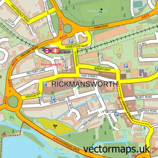
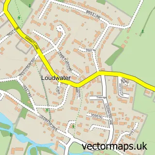
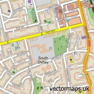
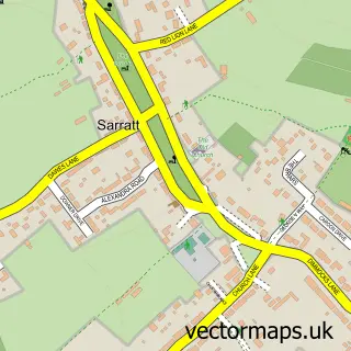
Nearby street map samples around Croxley Green

More street maps in Hertfordshire
750 metre map area coverage
Boundary, postcode and point of interest information for the 750m x 750m rectangle centred on this sample map.
Boundaries containing map centre
Constituency: South West Hertfordshire Co Const
County: Hertfordshire County
District: Three Rivers District
Icb: NHS Central East ICB
Parish: Croxley Green CP
Police Force: hertfordshire
Postcode District: WD3
Postcode Sector: WD3 3
Ward: Durrants Ward
Nearby boundaries intersecting sample
Ward: Dickinsons Ward
Postcode coverage
POI category counts
Beauty Salon: 6
Professional Services: 6
Church Cathedral: 5
Convenience Store: 4
Driving School: 4
Physical Therapy: 4
Dentist: 3
Doctor: 3
Education: 3
Grocery Store: 3
Sample points of interest
- ISA Consortium
- 360 Promotions
- Watford New Hope Trust Charity Shop
- Anchor Hanover - Hanover Court
- The Cooperative Food (BF) Croxley Green - New Road
- Commsit
- Charlou Cakes
- Barclays Local
- Croxley Green Baptist Church
- Prestige Barbers Croxley Green
- Laser SKIN Clinic
- Bliss Beauty Salon
Create a larger editable map of Croxley Green
This sample shows only a 750 metre area. To create a larger map of Croxley Green, use our map builder to choose your own coverage area, add titles and download editable SVG, PDF and PNG files.
Create a custom map of Croxley Green