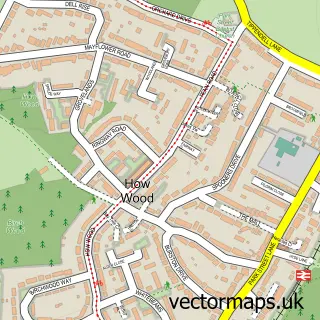
This Leavesden street map is a detailed vector street map covering a 750m x 750m area. Select a larger area to create and download your own vector street map of Leavesden.
The 750-metre map sample for Leavesden covers 322 mapped buildings and approximately 22.4 km of road detail, of which 33 named roads are named. The immediate area includes 4 GP surgeries within 2 miles and 12 MOT stations within 2 miles. The wider area around Leavesden features 4 tourism points of interest and 5 food and drink venues. To create a larger or custom map of Leavesden, the map builder lets you define your own coverage area and download editable SVG, PDF and PNG files.
Create a larger editable map of Leavesden
Choose any area you need and generate a high-quality vector map instantly. Perfect for print, planning, design, business and personal use.

This Leavesden street map in Hertfordshire is available as downloadable SVG, PDF and PNG map files, or as a printed map for planning, business, display, education, local information and design work. You can also create a larger custom map area using the map selector.
What this Leavesden map sample shows
Leavesden lies within Abbots Langley Cp parish, part of Abbots Langley & Bedmond ward in the Three Rivers District local authority area. The postcode geography for this area includes the WD postcode area, the WD5 postcode district and the WD5 0 postcode sector. Residents fall under the Nhs Hertfordshire And West Essex Integrated Care Board for NHS services.
Local features near Leavesden
Within 2 milesAmenities and services in and around Leavesden.
Administrative and postcode information for Leavesden
Leavesden lies within Abbots Langley Cp parish, part of Abbots Langley & Bedmond ward in the Three Rivers District local authority area. The postcode geography for this area includes the WD postcode area, the WD5 postcode district and the WD5 0 postcode sector. Residents fall under the Nhs Hertfordshire And West Essex Integrated Care Board for NHS services.
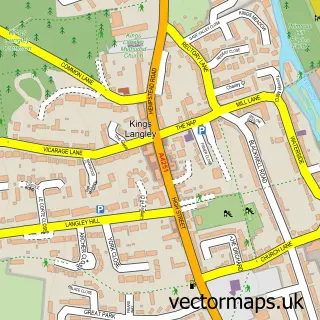
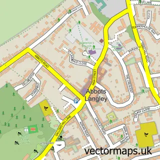
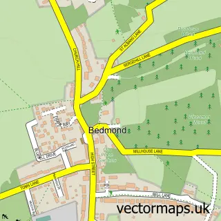
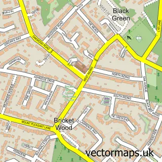
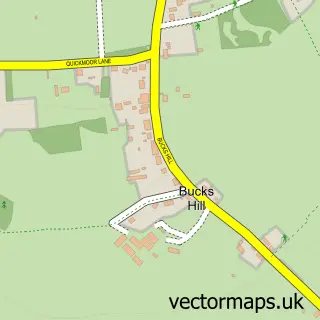
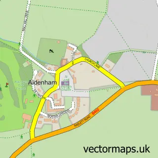
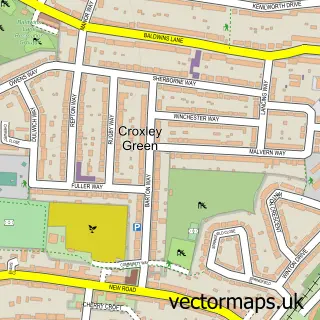
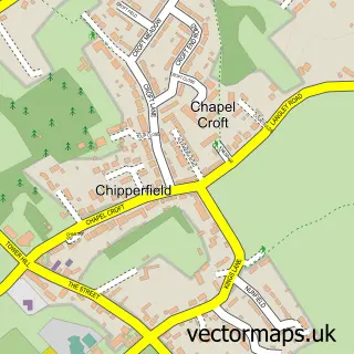
Nearby street map samples around Leavesden

More street maps in Hertfordshire
750 metre map area coverage
Boundary, postcode and point of interest information for the 750m x 750m rectangle centred on this sample map.
Boundaries containing map centre
Constituency: South West Hertfordshire Co Const
County: Hertfordshire County
District: Three Rivers District
Icb: NHS Central East ICB
Parish: Abbots Langley CP
Police Force: hertfordshire
Postcode District: WD25
Postcode Sector: WD25 7
Ward: Leavesden Ward
Nearby boundaries intersecting sample
Constituency: Watford Boro Const
District: Watford District (B)
Postcode Sector: WD25 0
Ward: Stanborough Ward, Woodside Ward
Postcode coverage
POI category counts
Arts And Entertainment: 37
Movie Television Studio: 7
Cafe: 4
Professional Services: 3
Art Gallery: 2
Bar: 2
Community Services Non Profits: 2
Electronics: 2
Employment Agencies: 2
Ev Charging Station: 2
Sample points of interest
- Rosemary Bookkeeping Ltd.
- Resource Marketing
- Hogwarts School of Witchcraft and Wizardry
- Concept Art, Warner Bros. Studio
- Lestrange Vault
- 4 Privet Drive
- Borgin and Burkes
- Broomstick Green Screen Experience
- Butterbeer Kiosk
- Creature Shop
- Diagon Alley
- Dumbledore's Office
Create a larger editable map of Leavesden
This sample shows only a 750 metre area. To create a larger map of Leavesden, use our map builder to choose your own coverage area, add titles and download editable SVG, PDF and PNG files.
Create a custom map of Leavesden