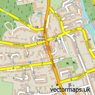
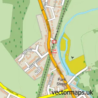
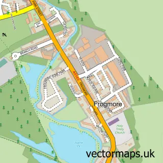
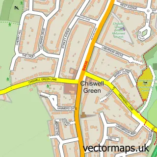
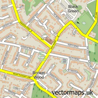
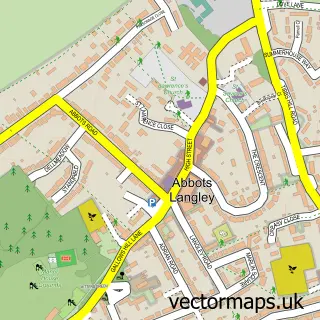
This How Wood street map is a detailed vector street map covering a 750m x 750m area. Select a larger area to create and download your own vector street map of How Wood.
The 750-metre map sample for How Wood covers 446 mapped buildings and approximately 15.0 km of road detail, of which 31 named roads are named. The immediate area includes 1 school, 1 railway station, 1 GP surgery within 2 miles and 6 MOT stations within 2 miles. The wider area around How Wood features 2 food and drink venues and 1 hotel. To create a larger or custom map of How Wood, the map builder lets you define your own coverage area and download editable SVG, PDF and PNG files.
Create a larger editable map of How Wood
Choose any area you need and generate a high-quality vector map instantly. Perfect for print, planning, design, business and personal use.

This How Wood street map in Hertfordshire is available as downloadable SVG, PDF and PNG map files, or as a printed map for planning, business, display, education, local information and design work. You can also create a larger custom map area using the map selector.
What this How Wood map sample shows
How Wood lies within St. Stephen Cp parish, part of Park Street ward in the St. Albans District (B) local authority area. The postcode geography for this area includes the AL postcode area, the AL2 postcode district and the AL2 2 postcode sector. Residents fall under the Nhs Hertfordshire And West Essex Integrated Care Board for NHS services.
Local features near How Wood
Within 2 milesAmenities and services in and around How Wood.
Administrative and postcode information for How Wood
The local authority covering How Wood is St. Albans District (B), within the county of Hertfordshire. The settlement lies within Park Street ward and St. Stephen Cp civil parish. The AL2 postcode district and AL2 2 postcode sector serve the immediate area. NHS provision in the area is delivered through West Hertfordshire Teaching Hospitals Nhs Trust.
Nearby street map samples around How Wood

More street maps in Hertfordshire
750 metre map area coverage
Boundary, postcode and point of interest information for the 750m x 750m rectangle centred on this sample map.
Boundaries containing map centre
Constituency: St. Albans Co Const
County: Hertfordshire County
District: St. Albans District (B)
Icb: NHS Central East ICB
Parish: St. Stephen CP
Police Force: hertfordshire
Postcode District: AL2
Postcode Sector: AL2 2
Ward: Park Street Ward
Nearby boundaries intersecting sample
Postcode Sector: AL2 3
Postcode coverage
POI category counts
Professional Services: 5
Driving School: 4
Beauty Salon: 3
Assisted Living Facility: 2
Building Supply Store: 2
Electronics: 2
Hair Salon: 2
Real Estate Agent: 2
Shipping Center: 2
Train Station: 2
Sample points of interest
- Barker Online Marketing
- Mark Woolf Design Ltd
- Mr Banana Head
- Birchwood Bungalow
- Milbury Care Services
- The Cooperative Food St Albans, Park Street
- Simmons Bakers
- Park Street Baptist Church
- Master Cut St Albans
- Sun Set
- Enhance Beauty
- No.4 Aesthetics & Beauty
Create a larger editable map of How Wood
This sample shows only a 750 metre area. To create a larger map of How Wood, use our map builder to choose your own coverage area, add titles and download editable SVG, PDF and PNG files.
Create a custom map of How Wood