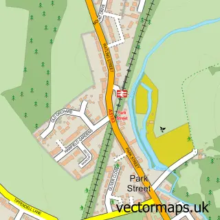
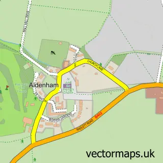
This Bricket Wood street map is a detailed vector street map covering a 750m x 750m area. Select a larger area to create and download your own vector street map of Bricket Wood.
The 750-metre map sample for Bricket Wood covers 546 mapped buildings and approximately 17.6 km of road detail, of which 41 named roads are named. The immediate area includes 2 GP surgeries within 2 miles, 1 pub and 3 MOT stations within 2 miles. The wider area around Bricket Wood features 1 food and drink venue. To create a larger or custom map of Bricket Wood, the map builder lets you define your own coverage area and download editable SVG, PDF and PNG files.
Create a larger editable map of Bricket Wood
Choose any area you need and generate a high-quality vector map instantly. Perfect for print, planning, design, business and personal use.

This Bricket Wood street map in Hertfordshire is available as downloadable SVG, PDF and PNG map files, or as a printed map for planning, business, display, education, local information and design work. You can also create a larger custom map area using the map selector.
What this Bricket Wood map sample shows
Bricket Wood lies within St. Stephen Cp parish, part of St Stephen ward in the St. Albans District (B) local authority area. The postcode geography for this area includes the AL postcode area, the AL2 postcode district and the AL2 3 postcode sector. Residents fall under the Nhs Hertfordshire And West Essex Integrated Care Board for NHS services.
Local features near Bricket Wood
Within 2 milesAmenities and services in and around Bricket Wood.
Administrative and postcode information for Bricket Wood
The local authority covering Bricket Wood is St. Albans District (B), within the county of Hertfordshire. The settlement lies within St Stephen ward and St. Stephen Cp civil parish. The AL2 postcode district and AL2 3 postcode sector serve the immediate area. NHS provision in the area is delivered through West Hertfordshire Teaching Hospitals Nhs Trust.
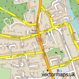
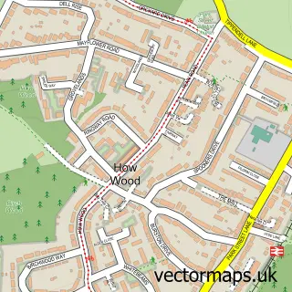
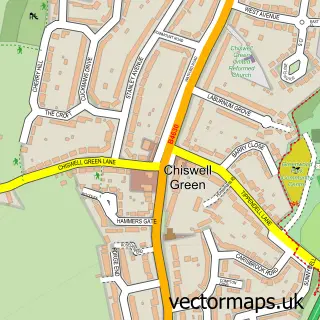
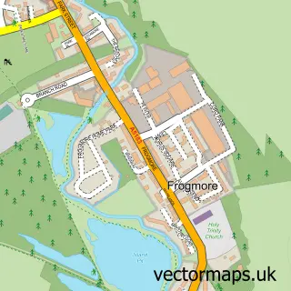
Nearby street map samples around Bricket Wood

More street maps in Hertfordshire
750 metre map area coverage
Boundary, postcode and point of interest information for the 750m x 750m rectangle centred on this sample map.
Boundaries containing map centre
Constituency: St. Albans Co Const
County: Hertfordshire County
District: St. Albans District (B)
Icb: NHS Central East ICB
Parish: St. Stephen CP
Police Force: hertfordshire
Postcode District: AL2
Postcode Sector: AL2 3
Ward: St. Stephen Ward
Nearby boundaries intersecting sample
Ward: Park Street Ward
Postcode coverage
POI category counts
Beauty Salon: 3
Electrician: 3
It Service And Computer Repair: 3
Contractor: 2
Dentist: 2
Doctor: 2
Hair Salon: 2
Retail: 2
Acupuncture: 1
Anglican Church: 1
Sample points of interest
- Acupuncture by Ilana - Ilana Garsin
- St Luke's Church Bricket Wood
- The Kestrels
- Radsouth Electronics
- Bricketwood barbers
- Sos Aesthetics
- Bricket Nails and Beauty
- Bricket Wood Beauty
- Glow & Brows
- DS Building & Carpentry (Herts)
- Herts Carpet Cleaning
- Richard Mcfarland
Create a larger editable map of Bricket Wood
This sample shows only a 750 metre area. To create a larger map of Bricket Wood, use our map builder to choose your own coverage area, add titles and download editable SVG, PDF and PNG files.
Create a custom map of Bricket Wood