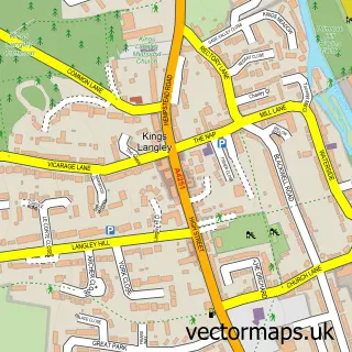
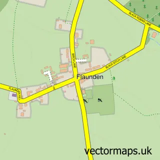
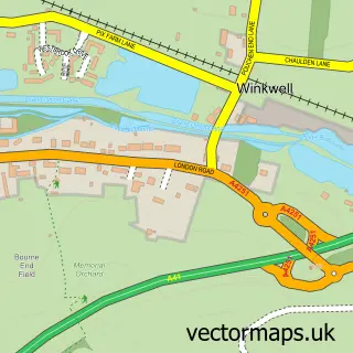
This Chipperfield street map is a detailed vector street map covering a 750m x 750m area. Select a larger area to create and download your own vector street map of Chipperfield.
The 750-metre map sample for Chipperfield covers 279 mapped buildings and approximately 12.0 km of road detail, of which 22 named roads are named. The immediate area includes 2 GP surgeries within 2 miles, 1 pub and 1 MOT station, with 3 within 2 miles. The wider area around Chipperfield features 1 tourism point of interest and 3 food and drink venues. To create a larger or custom map of Chipperfield, the map builder lets you define your own coverage area and download editable SVG, PDF and PNG files.
Create a larger editable map of Chipperfield
Choose any area you need and generate a high-quality vector map instantly. Perfect for print, planning, design, business and personal use.

This Chipperfield street map in Hertfordshire is available as downloadable SVG, PDF and PNG map files, or as a printed map for planning, business, display, education, local information and design work. You can also create a larger custom map area using the map selector.
What this Chipperfield map sample shows
Chipperfield lies within Chipperfield Cp parish, part of Bovingdon, Flaunden And Chipperfield ward in the Dacorum District (B) local authority area. The postcode geography for this area includes the WD postcode area, the WD4 postcode district and the WD4 9 postcode sector. Residents fall under the Nhs Hertfordshire And West Essex Integrated Care Board for NHS services.
Local features near Chipperfield
Within 2 milesAmenities and services in and around Chipperfield.
Administrative and postcode information for Chipperfield
The local authority covering Chipperfield is Dacorum District (B), within the county of Hertfordshire. The settlement lies within Bovingdon, Flaunden And Chipperfield ward and Chipperfield Cp civil parish. The WD4 postcode district and WD4 9 postcode sector serve the immediate area. NHS provision in the area is delivered through West Hertfordshire Teaching Hospitals Nhs Trust.
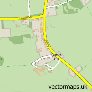
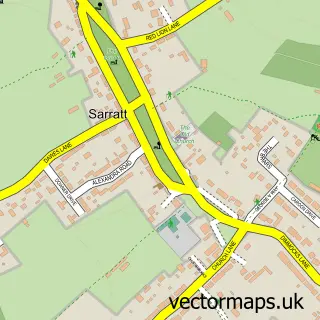
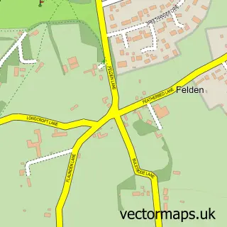
Nearby street map samples around Chipperfield

More street maps in Hertfordshire
750 metre map area coverage
Boundary, postcode and point of interest information for the 750m x 750m rectangle centred on this sample map.
Boundaries containing map centre
Constituency: Hemel Hempstead Co Const
County: Hertfordshire County
District: Dacorum District (B)
Icb: NHS Central East ICB
Parish: Chipperfield CP
Police Force: hertfordshire
Postcode District: WD4
Postcode Sector: WD4 9
Ward: Bovingdon, Flaunden and Chipperfield Ward
Nearby boundaries intersecting sample
No additional intersecting boundaries found.
Postcode coverage
POI category counts
Beauty Salon: 2
Cafe: 2
Car Dealer: 2
Professional Services: 2
Used Car Dealer: 2
Accountant: 1
Amateur Sports Team: 1
Automotive Dealer: 1
Builders: 1
Building Supply Store: 1
Sample points of interest
- Chipperfield Accounting Ltd
- Chipperfield Clarendon Cricket Club
- Kia UK
- Beautybyannmarie
- Hidden
- GBR Constructionltd
- Allweather Roofing
- Pani Coffee & Kitchen
- Spice Village
- Sell Your German Car
- Tower Hill
- A W Building Contractors Ltd
Create a larger editable map of Chipperfield
This sample shows only a 750 metre area. To create a larger map of Chipperfield, use our map builder to choose your own coverage area, add titles and download editable SVG, PDF and PNG files.
Create a custom map of Chipperfield