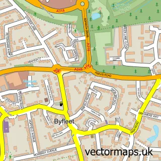
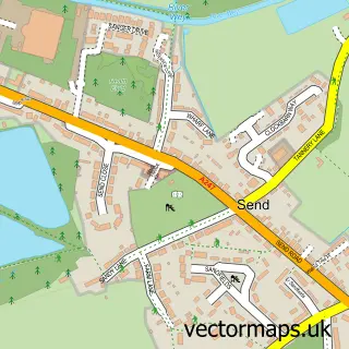
This West Byfleet street map is a detailed vector street map covering a 750m x 750m area. Select a larger area to create and download your own vector street map of West Byfleet.
The 750-metre map sample for West Byfleet covers 429 mapped buildings and approximately 17.4 km of road detail, of which 36 named roads are named. The immediate area includes 1 school, 1 railway station, 3 GP surgeries, with 7 within 2 miles and 2 pubs among other local services. The wider area around West Byfleet features 1 tourism point of interest and 9 food and drink venues. To create a larger or custom map of West Byfleet, the map builder lets you define your own coverage area and download editable SVG, PDF and PNG files.
Create a larger editable map of West Byfleet
Choose any area you need and generate a high-quality vector map instantly. Perfect for print, planning, design, business and personal use.

This West Byfleet street map in Surrey is available as downloadable SVG, PDF and PNG map files, or as a printed map for planning, business, display, education, local information and design work. You can also create a larger custom map area using the map selector.
What this West Byfleet map sample shows
West Byfleet lies within Surrey County parish, part of Byfleet And West Byfleet ward in the Woking District (B) local authority area. The postcode geography for this area includes the KT postcode area, the KT14 postcode district and the KT14 6 postcode sector. Residents fall under the Nhs Surrey Heartlands Integrated Care Board for NHS services.
Local features near West Byfleet
Within 2 milesAmenities and services in and around West Byfleet.
Administrative and postcode information for West Byfleet
West Byfleet lies within Surrey County parish, part of Byfleet And West Byfleet ward in the Woking District (B) local authority area. The postcode geography for this area includes the KT postcode area, the KT14 postcode district and the KT14 6 postcode sector. Residents fall under the Nhs Surrey Heartlands Integrated Care Board for NHS services.
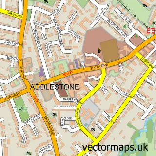
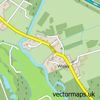
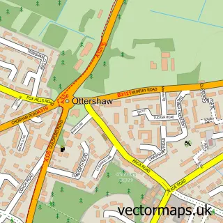
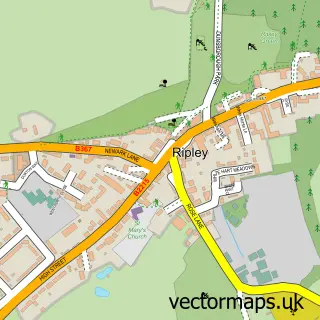
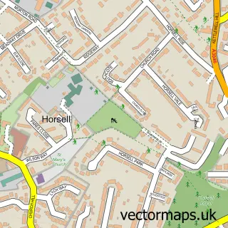
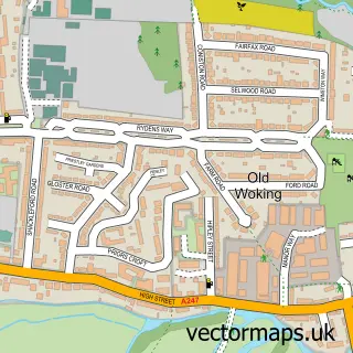
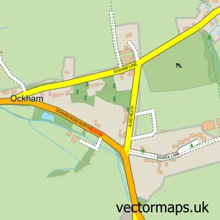
Nearby street map samples around West Byfleet

More street maps in Surrey
750 metre map area coverage
Boundary, postcode and point of interest information for the 750m x 750m rectangle centred on this sample map.
Boundaries containing map centre
Constituency: Woking Boro Const
County: Surrey County
District: Woking District (B)
Icb: NHS Surrey and Sussex ICB
Police Force: surrey
Postcode District: KT14
Postcode Sector: KT14 6
Ward: Byfleet & West Byfleet Ward
Nearby boundaries intersecting sample
Constituency: Runnymede and Weybridge Co Const
District: Runnymede District (B)
Postcode District: KT15
Postcode Sector: KT15 3
Ward: Pyrford Ward, Woodham & Rowtown Ward
Postcode coverage
POI category counts
Real Estate Agent: 9
Doctor: 8
Professional Services: 8
Beauty Salon: 7
Employment Agencies: 7
Financial Service: 7
Dentist: 6
Fast Food Restaurant: 5
Hair Salon: 5
Italian Restaurant: 5
Sample points of interest
- Anchor Accounting Services
- Gibson Hewitt Ltd.
- Sole Associates
- TBA Gibson Hewitt
- GFK Marketing Services
- Medical Marketing Research International
- Surrey SEO Agency
- Top Click Media
- Hoppa
- Gennye Lion Rainbow Anderzon
- Jennie Andersson Massage Practitioner
- Rosemount Clinic of Complementary Medicine
Create a larger editable map of West Byfleet
This sample shows only a 750 metre area. To create a larger map of West Byfleet, use our map builder to choose your own coverage area, add titles and download editable SVG, PDF and PNG files.
Create a custom map of West Byfleet