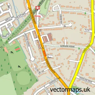
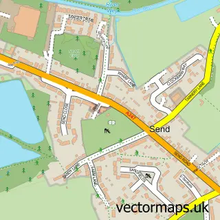
This Ockham street map is a detailed vector street map covering a 750m x 750m area. Select a larger area to create and download your own vector street map of Ockham.
The 750-metre map sample for Ockham covers 62 mapped buildings and approximately 7.7 km of road detail, of which 5 named roads are named. The immediate area includes 1 GP surgery within 2 miles and 2 MOT stations within 2 miles. The wider area around Ockham features 1 hotel and 1 campsite within 2 miles. To create a larger or custom map of Ockham, the map builder lets you define your own coverage area and download editable SVG, PDF and PNG files.
Create a larger editable map of Ockham
Choose any area you need and generate a high-quality vector map instantly. Perfect for print, planning, design, business and personal use.

This Ockham street map in Surrey is available as downloadable SVG, PDF and PNG map files, or as a printed map for planning, business, display, education, local information and design work. You can also create a larger custom map area using the map selector.
What this Ockham map sample shows
Ockham lies within Ockham Cp parish, part of Lovelace ward in the Guildford District (B) local authority area. The postcode geography for this area includes the GU postcode area, the GU23 postcode district and the GU23 6 postcode sector. Residents fall under the Nhs Surrey Heartlands Integrated Care Board for NHS services.
Local features near Ockham
Within 2 milesAmenities and services in and around Ockham.
Administrative and postcode information for Ockham
The local authority covering Ockham is Guildford District (B), within the county of Surrey. The settlement lies within Lovelace ward and Ockham Cp civil parish. The GU23 postcode district and GU23 6 postcode sector serve the immediate area. NHS provision in the area is delivered through Royal Surrey County Hospital Nhs Foundation Trust.
Nearby street map samples around Ockham
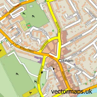

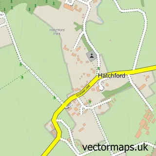
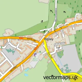
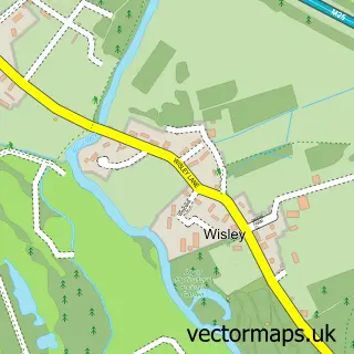
More street maps in Surrey
750 metre map area coverage
Boundary, postcode and point of interest information for the 750m x 750m rectangle centred on this sample map.
Boundaries containing map centre
Constituency: Guildford Co Const
County: Surrey County
District: Guildford District (B)
Icb: NHS Surrey and Sussex ICB
Parish: Ockham CP
Police Force: surrey
Postcode District: GU23
Postcode Sector: GU23 6
Ward: Send & Lovelace Ward
Nearby boundaries intersecting sample
No additional intersecting boundaries found.
Postcode coverage
POI category counts
Advertising Agency: 1
Alternative Medicine: 1
Business To Business Services: 1
Child Care And Day Care: 1
Contractor: 1
Fence And Gate Sales Service: 1
Financial Service: 1
Hotel: 1
Marketing Consultant: 1
Pet Store: 1
Sample points of interest
- Deep Blue Research
- Barnaby Lawrence
- Deep Blue Research Ltd.
- Tiny Toddlers Childcare
- R F Ireland Fencing
- RFI Fencing Ltd
- Mortgage 27
- The Hautboy
- Deep Blue Research
- Cobham Dog Training
- RMR Plant Operator Services
- Ockham Cricket Club
Create a larger editable map of Ockham
This sample shows only a 750 metre area. To create a larger map of Ockham, use our map builder to choose your own coverage area, add titles and download editable SVG, PDF and PNG files.
Create a custom map of Ockham