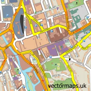
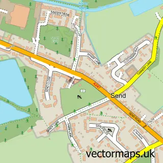
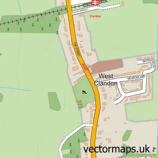
This Jacobs Well street map is a detailed vector street map covering a 750m x 750m area. Select a larger area to create and download your own vector street map of Jacobs Well.
The 750-metre map sample for Jacobs Well covers 336 mapped buildings and approximately 12.7 km of road detail, of which 15 named roads are named. The immediate area includes 2 GP surgeries within 2 miles and 24 MOT stations within 2 miles. The wider area around Jacobs Well features 1 food and drink venue. To create a larger or custom map of Jacobs Well, the map builder lets you define your own coverage area and download editable SVG, PDF and PNG files.
Create a larger editable map of Jacobs Well
Choose any area you need and generate a high-quality vector map instantly. Perfect for print, planning, design, business and personal use.

This Jacobs Well street map in Surrey is available as downloadable SVG, PDF and PNG map files, or as a printed map for planning, business, display, education, local information and design work. You can also create a larger custom map area using the map selector.
What this Jacobs Well map sample shows
Jacobs Well lies within Worplesdon Cp parish, part of Worplesdon ward in the Guildford District (B) local authority area. The postcode geography for this area includes the GU postcode area, the GU4 postcode district and the GU4 7 postcode sector. Residents fall under the Nhs Surrey Heartlands Integrated Care Board for NHS services.
Local features near Jacobs Well
Within 2 milesAmenities and services in and around Jacobs Well.
Administrative and postcode information for Jacobs Well
Jacobs Well lies within Worplesdon Cp parish, part of Worplesdon ward in the Guildford District (B) local authority area. The postcode geography for this area includes the GU postcode area, the GU4 postcode district and the GU4 7 postcode sector. Residents fall under the Nhs Surrey Heartlands Integrated Care Board for NHS services.
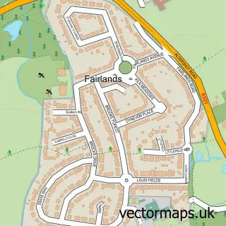
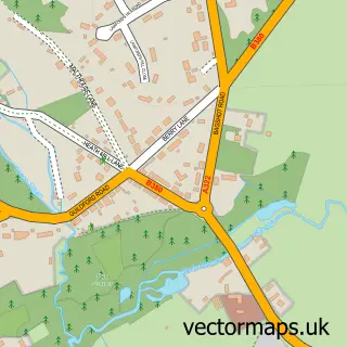
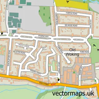
Nearby street map samples around Jacobs Well

More street maps in Surrey
750 metre map area coverage
Boundary, postcode and point of interest information for the 750m x 750m rectangle centred on this sample map.
Boundaries containing map centre
Constituency: Guildford Co Const
County: Surrey County
District: Guildford District (B)
Icb: NHS Surrey and Sussex ICB
Parish: Worplesdon CP
Police Force: surrey
Postcode District: GU4
Postcode Sector: GU4 7
Ward: Worplesdon Ward
Nearby boundaries intersecting sample
Constituency: Woking Boro Const
District: Woking District (B)
Postcode District: GU1
Postcode Sector: GU1 1
Ward: Heathlands Ward
Postcode coverage
POI category counts
Building Supply Store: 2
Motor Freight Trucking: 2
Sign Making: 2
Accountant: 1
Alternative Medicine: 1
Assisted Living Facility: 1
Barber: 1
Beauty And Spa: 1
Cafe: 1
Carpet Cleaning: 1
Sample points of interest
- Heather & Co. Ltd.
- Diana Hobbs Hypnotherapist
- Just Homes
- The Village Barber on the Avenue
- Anna Christi
- JJM Decorating
- Just Skips
- Jacobs Well Café
- Naturally Dry Carpet & Upholstery Cleaning
- Guildford Adult Learning Centre
- Jacobs Well Village Hall
- Unigold
Create a larger editable map of Jacobs Well
This sample shows only a 750 metre area. To create a larger map of Jacobs Well, use our map builder to choose your own coverage area, add titles and download editable SVG, PDF and PNG files.
Create a custom map of Jacobs Well