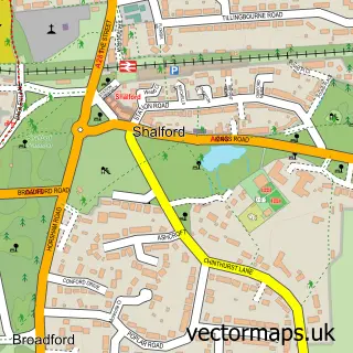
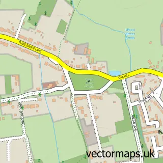
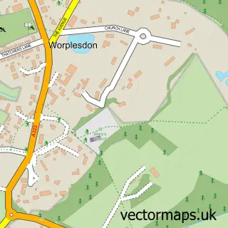
This Guildford street map is a detailed vector street map covering a 750m x 750m area. Select a larger area to create and download your own vector street map of Guildford.
The 750-metre map sample for Guildford covers 240 mapped buildings and approximately 23.4 km of road detail, of which 52 named roads are named. The immediate area includes 2 schools, 5 GP surgeries within 2 miles, 23 pubs and 24 MOT stations within 2 miles. The wider area around Guildford features 14 tourism points of interest, 73 food and drink venues and 3 hotels. To create a larger or custom map of Guildford, the map builder lets you define your own coverage area and download editable SVG, PDF and PNG files.
Create a larger editable map of Guildford
Choose any area you need and generate a high-quality vector map instantly. Perfect for print, planning, design, business and personal use.

This Guildford street map in Surrey is available as downloadable SVG, PDF and PNG map files, or as a printed map for planning, business, display, education, local information and design work. You can also create a larger custom map area using the map selector.
What this Guildford map sample shows
Guildford lies within Surrey County parish, part of Holy Trinity ward in the Guildford District (B) local authority area. The postcode geography for this area includes the GU postcode area, the GU1 postcode district and the GU1 3 postcode sector. Residents fall under the Nhs Surrey Heartlands Integrated Care Board for NHS services.
Local features near Guildford
Within 2 milesAmenities and services in and around Guildford.
Administrative and postcode information for Guildford
Guildford lies within Surrey County parish, part of Holy Trinity ward in the Guildford District (B) local authority area. The postcode geography for this area includes the GU postcode area, the GU1 postcode district and the GU1 3 postcode sector. Residents fall under the Nhs Surrey Heartlands Integrated Care Board for NHS services.
Nearby street map samples around Guildford

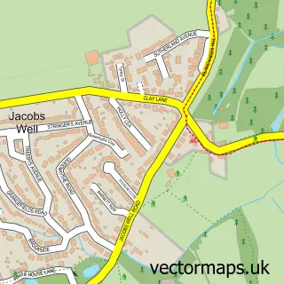
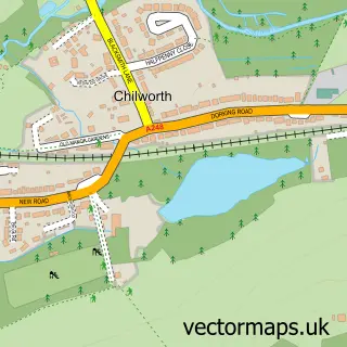
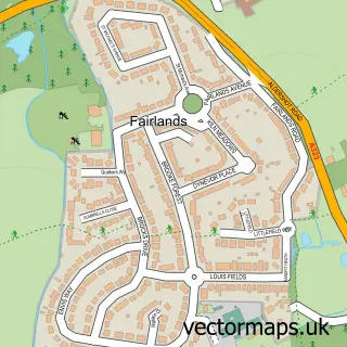
More street maps in Surrey
750 metre map area coverage
Boundary, postcode and point of interest information for the 750m x 750m rectangle centred on this sample map.
Boundaries containing map centre
Constituency: Guildford Co Const
County: Surrey County
District: Guildford District (B)
Icb: NHS Surrey and Sussex ICB
Police Force: surrey
Postcode District: GU1
Postcode Sector: GU1 3
Ward: Castle Ward
Nearby boundaries intersecting sample
Postcode District: GU2
Postcode Sector: GU1 4, GU2 4
Ward: St. Nicolas Ward, Stoke Ward
Postcode coverage
POI category counts
Clothing Store: 71
Jewelry Store: 34
Furniture Store: 29
Employment Agencies: 26
Beauty Salon: 25
Cafe: 23
Pub: 23
Hair Salon: 21
Shoe Store: 21
Professional Services: 20
Sample points of interest
- Bankside Student Living
- Flexi-Lets
- Guilford Town
- Millmead Car Park
- Alliott Graham Brown Financial Planning Ltd.
- Alliotts LLP
- Altitude Accounting
- BDO LLP
- Moore (South) Guildford Chartered Accountants
- Questfp Consulting
- Whittingtons
- Acupuncture Clinic
Create a larger editable map of Guildford
This sample shows only a 750 metre area. To create a larger map of Guildford, use our map builder to choose your own coverage area, add titles and download editable SVG, PDF and PNG files.
Create a custom map of Guildford