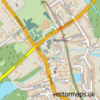
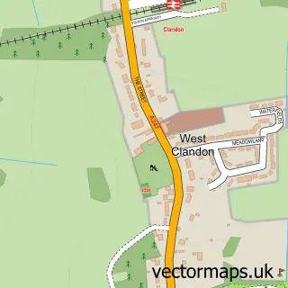
This Chilworth street map is a detailed vector street map covering a 750m x 750m area. Select a larger area to create and download your own vector street map of Chilworth.
The 750-metre map sample for Chilworth covers 211 mapped buildings and approximately 5.2 km of road detail, of which 10 named roads are named. The immediate area includes 1 school, 3 GP surgeries within 2 miles and 3 MOT stations within 2 miles. The wider area around Chilworth features 1 tourism point of interest. To create a larger or custom map of Chilworth, the map builder lets you define your own coverage area and download editable SVG, PDF and PNG files.
Create a larger editable map of Chilworth
Choose any area you need and generate a high-quality vector map instantly. Perfect for print, planning, design, business and personal use.

This Chilworth street map in Surrey is available as downloadable SVG, PDF and PNG map files, or as a printed map for planning, business, display, education, local information and design work. You can also create a larger custom map area using the map selector.
What this Chilworth map sample shows
Chilworth lies within St. Martha Cp parish, part of Tillingbourne ward in the Guildford District (B) local authority area. The postcode geography for this area includes the GU postcode area, the GU4 postcode district and the GU4 8 postcode sector. Residents fall under the Nhs Surrey Heartlands Integrated Care Board for NHS services.
Local features near Chilworth
Within 2 milesAmenities and services in and around Chilworth.
Administrative and postcode information for Chilworth
Chilworth lies within St. Martha Cp parish, part of Tillingbourne ward in the Guildford District (B) local authority area. The postcode geography for this area includes the GU postcode area, the GU4 postcode district and the GU4 8 postcode sector. Residents fall under the Nhs Surrey Heartlands Integrated Care Board for NHS services.
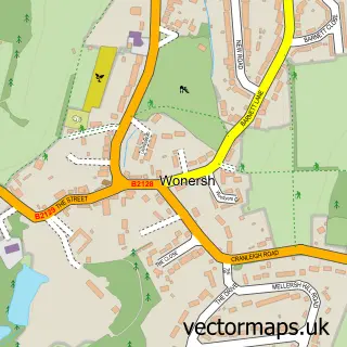
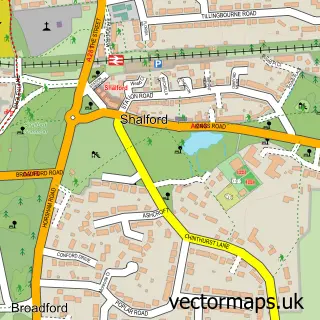
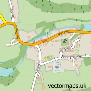
Nearby street map samples around Chilworth

More street maps in Surrey
750 metre map area coverage
Boundary, postcode and point of interest information for the 750m x 750m rectangle centred on this sample map.
Boundaries containing map centre
Constituency: Godalming and Ash Co Const
County: Surrey County
District: Guildford District (B)
Icb: NHS Surrey and Sussex ICB
Parish: Shalford CP, St. Martha CP
Police Force: surrey
Postcode District: GU4
Postcode Sector: GU4 8
Ward: Shalford Ward, Tillingbourne Ward
Nearby boundaries intersecting sample
Constituency: Guildford Co Const
District: Waverley District (B)
Parish: Wonersh CP
Postcode District: GU5
Postcode Sector: GU5 0
Ward: Bramley & Wonersh Ward, Castle Ward
Postcode coverage
POI category counts
Landscape Architect: 3
Carpenter: 1
Church Cathedral: 1
Contractor: 1
Elementary School: 1
Florist: 1
Gardener: 1
Hair Salon: 1
It Service And Computer Repair: 1
Landmark And Historical Building: 1
Sample points of interest
- Tillingbourne Timber Framing
- Chilworth Free Church
- Andrews Landscaping
- Chilworth Church of England Infant School and Nursery
- Poppy Wild Floral | Nature inspired floral design for weddings And events
- L D C
- Lucy Hayward Hair
- Transym Computer Services
- Chilworth Gunpowder Mills
- LDC Gardens Ltd.
- LDC Landscape Ltd.
- Studio Loci Ltd.
Create a larger editable map of Chilworth
This sample shows only a 750 metre area. To create a larger map of Chilworth, use our map builder to choose your own coverage area, add titles and download editable SVG, PDF and PNG files.
Create a custom map of Chilworth