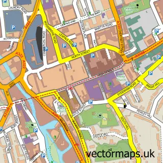
This Albury street map is a detailed vector street map covering a 750m x 750m area. Select a larger area to create and download your own vector street map of Albury.
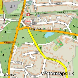
The 750-metre map sample for Albury covers 114 mapped buildings and approximately 11.1 km of road detail, of which 7 named roads are named. The immediate area includes 1 GP surgery within 2 miles, 3 pubs and 1 MOT station within 2 miles. The wider area around Albury features 1 tourism point of interest and 3 food and drink venues. To create a larger or custom map of Albury, the map builder lets you define your own coverage area and download editable SVG, PDF and PNG files.
Create a larger editable map of Albury
Choose any area you need and generate a high-quality vector map instantly. Perfect for print, planning, design, business and personal use.

This Albury street map in Surrey is available as downloadable SVG, PDF and PNG map files, or as a printed map for planning, business, display, education, local information and design work. You can also create a larger custom map area using the map selector.
What this Albury map sample shows
Albury lies within Albury Cp parish, part of Tillingbourne ward in the Guildford District (B) local authority area. The postcode geography for this area includes the GU postcode area, the GU5 postcode district and the GU5 9 postcode sector. Residents fall under the Nhs Surrey Heartlands Integrated Care Board for NHS services.
Local features near Albury
Within 2 milesAmenities and services in and around Albury.
Administrative and postcode information for Albury
Albury lies within Albury Cp parish, part of Tillingbourne ward in the Guildford District (B) local authority area. The postcode geography for this area includes the GU postcode area, the GU5 postcode district and the GU5 9 postcode sector. Residents fall under the Nhs Surrey Heartlands Integrated Care Board for NHS services.
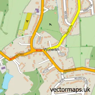
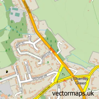
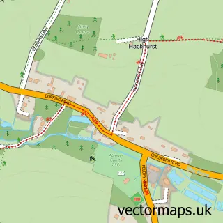
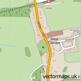
Nearby street map samples around Albury

More street maps in Surrey
750 metre map area coverage
Boundary, postcode and point of interest information for the 750m x 750m rectangle centred on this sample map.
Boundaries containing map centre
Constituency: Godalming and Ash Co Const
County: Surrey County
District: Guildford District (B)
Icb: NHS Surrey and Sussex ICB
Parish: Albury CP
Police Force: surrey
Postcode District: GU5
Postcode Sector: GU5 9
Ward: Tillingbourne Ward
Nearby boundaries intersecting sample
No additional intersecting boundaries found.
Postcode coverage
POI category counts
Pub: 3
Advertising Agency: 2
Clothing Store: 2
Anglican Church: 1
Antique Store: 1
Architectural Designer: 1
Assisted Living Facility: 1
Automation Services: 1
Beverage Store: 1
Building Supply Store: 1
Sample points of interest
- Breeze Design
- D N X
- Albury: St Peter & St Paul
- Archers Antiques Restoration
- Amasia Architects Ltd
- CareSeekers
- Complete Home Control
- Drummond Arms now open as The Drummond at Albury
- Beacon Roofing
- CGA Experience
- LC Energy
- Alan Maynard
Create a larger editable map of Albury
This sample shows only a 750 metre area. To create a larger map of Albury, use our map builder to choose your own coverage area, add titles and download editable SVG, PDF and PNG files.
Create a custom map of Albury