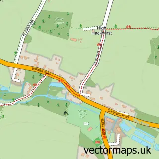
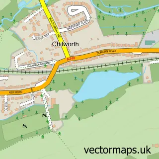
This Gomshall street map is a detailed vector street map covering a 750m x 750m area. Select a larger area to create and download your own vector street map of Gomshall.
The 750-metre map sample for Gomshall covers 246 mapped buildings and approximately 11.0 km of road detail, of which 15 named roads are named. The immediate area includes 1 GP surgery within 2 miles, 4 pubs and 1 MOT station within 2 miles. The wider area around Gomshall features 7 food and drink venues. To create a larger or custom map of Gomshall, the map builder lets you define your own coverage area and download editable SVG, PDF and PNG files.
Create a larger editable map of Gomshall
Choose any area you need and generate a high-quality vector map instantly. Perfect for print, planning, design, business and personal use.

This Gomshall street map in Surrey is available as downloadable SVG, PDF and PNG map files, or as a printed map for planning, business, display, education, local information and design work. You can also create a larger custom map area using the map selector.
What this Gomshall map sample shows
Gomshall lies within Shere Cp parish, part of Tillingbourne ward in the Guildford District (B) local authority area. The postcode geography for this area includes the GU postcode area, the GU5 postcode district and the GU5 9 postcode sector. Residents fall under the Nhs Surrey Heartlands Integrated Care Board for NHS services.
Local features near Gomshall
Within 2 milesAmenities and services in and around Gomshall.
Administrative and postcode information for Gomshall
Gomshall lies within Shere Cp parish, part of Tillingbourne ward in the Guildford District (B) local authority area. The postcode geography for this area includes the GU postcode area, the GU5 postcode district and the GU5 9 postcode sector. Residents fall under the Nhs Surrey Heartlands Integrated Care Board for NHS services.
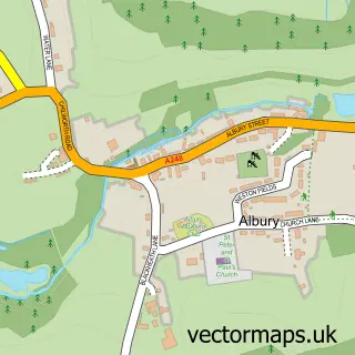
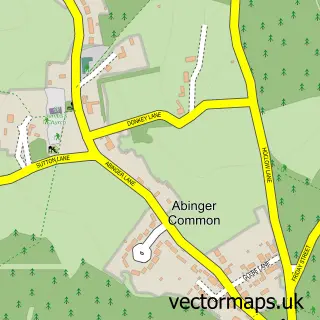
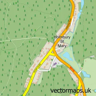
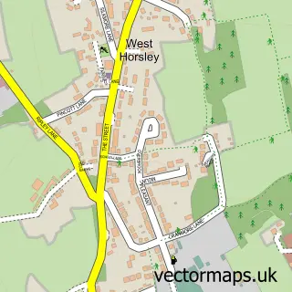
Nearby street map samples around Gomshall

More street maps in Surrey
750 metre map area coverage
Boundary, postcode and point of interest information for the 750m x 750m rectangle centred on this sample map.
Boundaries containing map centre
Constituency: Godalming and Ash Co Const
County: Surrey County
District: Guildford District (B)
Icb: NHS Surrey and Sussex ICB
Parish: Shere CP
Police Force: surrey
Postcode District: GU5
Postcode Sector: GU5 9
Ward: Tillingbourne Ward
Nearby boundaries intersecting sample
No additional intersecting boundaries found.
Postcode coverage
POI category counts
Gas Station: 5
Convenience Store: 4
Pub: 4
Building Supply Store: 3
Furniture Store: 3
Financial Service: 2
Landscaping: 2
Real Estate Agent: 2
British Restaurant: 1
Business Consulting: 1
Sample points of interest
- Blubeckers Eating House
- CD Electrical
- Surrey Guttering
- Surrey Guttering
- Lysander Associates
- Tillings Café
- Starbucks
- Budgens Gomshall
- Gomshall Village Store
- Londis
- Londis Texaco Downside Service Station
- Tots2teens Childcare Services Surrey
Create a larger editable map of Gomshall
This sample shows only a 750 metre area. To create a larger map of Gomshall, use our map builder to choose your own coverage area, add titles and download editable SVG, PDF and PNG files.
Create a custom map of Gomshall