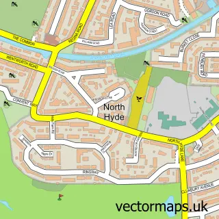
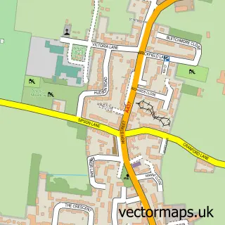
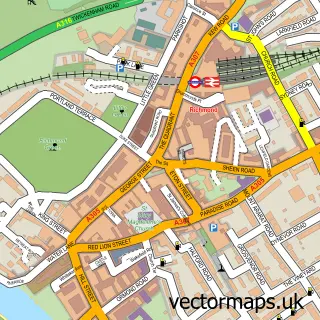
This Brentford street map is a detailed vector street map covering a 750m x 750m area. Select a larger area to create and download your own vector street map of Brentford.
The 750-metre map sample for Brentford covers 133 mapped buildings and approximately 17.4 km of road detail, of which 15 named roads are named. The immediate area includes 20 GP surgeries within 2 miles and 2 MOT stations, with 46 within 2 miles. The wider area around Brentford features 4 tourism points of interest and 5 food and drink venues. To create a larger or custom map of Brentford, the map builder lets you define your own coverage area and download editable SVG, PDF and PNG files.
Create a larger editable map of Brentford
Choose any area you need and generate a high-quality vector map instantly. Perfect for print, planning, design, business and personal use.

This Brentford street map in Greater London is available as downloadable SVG, PDF and PNG map files, or as a printed map for planning, business, display, education, local information and design work. You can also create a larger custom map area using the map selector.
What this Brentford map sample shows
Brentford lies within Greater London Authority parish, part of Syon ward in the Hounslow London Boro local authority area. The postcode geography for this area includes the TW postcode area, the TW8 postcode district and the TW8 9 postcode sector. Residents fall under the Nhs North West London Integrated Care Board for NHS services.
Local features near Brentford
Within 2 milesAmenities and services in and around Brentford.
Administrative and postcode information for Brentford
Brentford lies within Greater London Authority parish, part of Syon ward in the Hounslow London Boro local authority area. The postcode geography for this area includes the TW postcode area, the TW8 postcode district and the TW8 9 postcode sector. Residents fall under the Nhs North West London Integrated Care Board for NHS services.
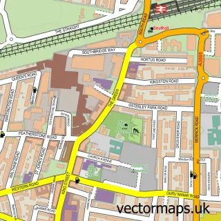
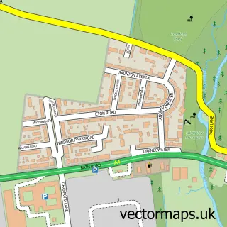
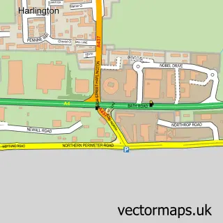
Nearby street map samples around Brentford


More street maps in Greater London
750 metre map area coverage
Boundary, postcode and point of interest information for the 750m x 750m rectangle centred on this sample map.
Boundaries containing map centre
Constituency: Brentford and Isleworth Boro Const
County: Greater London Authority
District: Hounslow London Boro
Icb: NHS West and North London IC
Police Force: metropolitan
Postcode District: TW8
Postcode Sector: TW8 9
Ward: Osterley & Spring Grove Ward
Nearby boundaries intersecting sample
Postcode District: TW7
Postcode Sector: TW7 5, TW8 8
Ward: Brentford West Ward, Syon & Brentford Lock Ward
Postcode coverage
POI category counts
Car Dealer: 9
Building Supply Store: 6
Professional Services: 6
Accountant: 4
Automotive: 4
Coffee Shop: 4
Doctor: 4
Garbage Collection Service: 4
Gym: 4
Home Goods Store: 4
Sample points of interest
- Fusion Accountants
- Majestic Chartered Accountants
- Mintiers Financial Ltd.
- Orm Accounting Services
- Health & Fitness Centre
- Workout Away
- J C Decaux
- Aromatherapy Associates
- Sage Arts Warehouse
- Sky Studios Osterly
- Syon Hearing Services
- Lux7
Create a larger editable map of Brentford
This sample shows only a 750 metre area. To create a larger map of Brentford, use our map builder to choose your own coverage area, add titles and download editable SVG, PDF and PNG files.
Create a custom map of Brentford