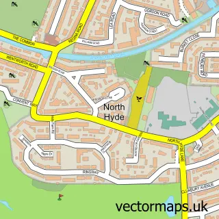
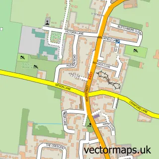
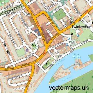
This Hounslow street map is a detailed vector street map covering a 750m x 750m area. Select a larger area to create and download your own vector street map of Hounslow.
The 750-metre map sample for Hounslow covers 304 mapped buildings and approximately 21.1 km of road detail, of which 43 named roads are named. The immediate area includes 1 primary school and 1 secondary school, 1 railway station, 2 GP surgeries, with 26 within 2 miles and 8 pubs among other local services. The wider area around Hounslow features 7 tourism points of interest, 34 food and drink venues and 5 hotels. To create a larger or custom map of Hounslow, the map builder lets you define your own coverage area and download editable SVG, PDF and PNG files.
Create a larger editable map of Hounslow
Choose any area you need and generate a high-quality vector map instantly. Perfect for print, planning, design, business and personal use.

This Hounslow street map in Greater London is available as downloadable SVG, PDF and PNG map files, or as a printed map for planning, business, display, education, local information and design work. You can also create a larger custom map area using the map selector.
What this Hounslow map sample shows
Hounslow lies within Greater London Authority parish, part of Hounslow Heath ward in the Hounslow London Boro local authority area. The postcode geography for this area includes the TW postcode area, the TW3 postcode district and the TW3 3 postcode sector. Residents fall under the Nhs North West London Integrated Care Board for NHS services.
Local features near Hounslow
Within 2 milesAmenities and services in and around Hounslow.
Administrative and postcode information for Hounslow
Hounslow lies within Greater London Authority parish, part of Hounslow Heath ward in the Hounslow London Boro local authority area. The postcode geography for this area includes the TW postcode area, the TW3 postcode district and the TW3 3 postcode sector. Residents fall under the Nhs North West London Integrated Care Board for NHS services.
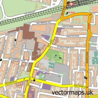
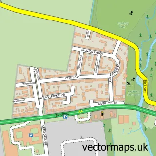
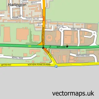
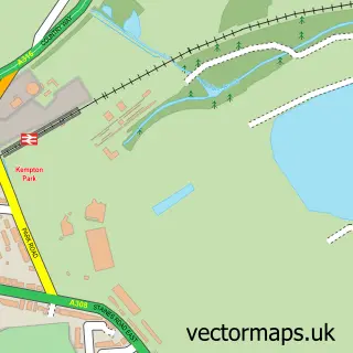
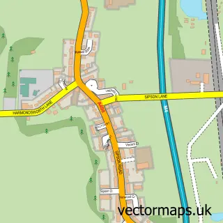
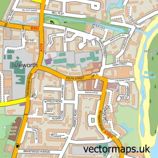
Nearby street map samples around Hounslow


More street maps in Greater London
750 metre map area coverage
Boundary, postcode and point of interest information for the 750m x 750m rectangle centred on this sample map.
Boundaries containing map centre
Constituency: Brentford and Isleworth Boro Const
County: Greater London Authority
District: Hounslow London Boro
Icb: NHS West and North London IC
Police Force: metropolitan
Postcode District: TW3
Postcode Sector: TW3 1
Ward: Hounslow Central Ward
Nearby boundaries intersecting sample
Constituency: Feltham and Heston Boro Const
Postcode Sector: TW3 2, TW3 3, TW3 4
Ward: Hounslow East Ward, Hounslow Heath Ward, Hounslow West Ward
Postcode coverage
POI category counts
Beauty Salon: 19
Clothing Store: 19
Mobile Phone Store: 19
Fast Food Restaurant: 14
Restaurant: 14
Grocery Store: 13
Indian Restaurant: 13
Professional Services: 13
Employment Agencies: 12
Jewelry Store: 10
Sample points of interest
- High Street Quarter
- Athena Accountancy Services
- Biuro księgowe FLASH Balbina Nowacka
- Cheshams Accountants Ltd
- MB Tax Advice Ltd
- Mayfair Tax Advisors
- Optmark Accountants
- Phoenix Tax Accountancy
- Red Parrot Accounting Ltd.
- Sebastian And Daughters
- Dr Hu Acupuncture Centre
- Ealing & Hounslow Acupuncture Within Physio Active Clinic
Create a larger editable map of Hounslow
This sample shows only a 750 metre area. To create a larger map of Hounslow, use our map builder to choose your own coverage area, add titles and download editable SVG, PDF and PNG files.
Create a custom map of Hounslow