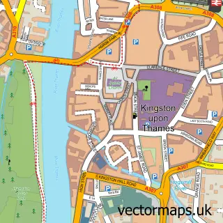
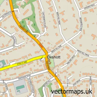
This Thames Ditton street map is a detailed vector street map covering a 750m x 750m area. Select a larger area to create and download your own vector street map of Thames Ditton.
The 750-metre map sample for Thames Ditton covers 394 mapped buildings and approximately 16.4 km of road detail, of which 40 named roads are named. The immediate area includes 12 GP surgeries within 2 miles, 5 pubs and 17 MOT stations within 2 miles. The wider area around Thames Ditton features 2 tourism points of interest, 13 food and drink venues and 1 campsite within 2 miles. To create a larger or custom map of Thames Ditton, the map builder lets you define your own coverage area and download editable SVG, PDF and PNG files.
Create a larger editable map of Thames Ditton
Choose any area you need and generate a high-quality vector map instantly. Perfect for print, planning, design, business and personal use.

This Thames Ditton street map in Surrey is available as downloadable SVG, PDF and PNG map files, or as a printed map for planning, business, display, education, local information and design work. You can also create a larger custom map area using the map selector.
What this Thames Ditton map sample shows
Thames Ditton lies within Surrey County parish, part of Long Ditton ward in the Elmbridge District (B) local authority area. The postcode geography for this area includes the KT postcode area, the KT7 postcode district and the KT7 0 postcode sector. Residents fall under the Nhs Surrey Heartlands Integrated Care Board for NHS services.
Local features near Thames Ditton
Within 2 milesAmenities and services in and around Thames Ditton.
Administrative and postcode information for Thames Ditton
The local authority covering Thames Ditton is Elmbridge District (B), within the county of Surrey. The settlement lies within Long Ditton ward and Surrey County civil parish. The KT7 postcode district and KT7 0 postcode sector serve the immediate area. NHS provision in the area is delivered through Kingston Hospital Nhs Foundation Trust.
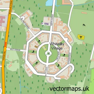
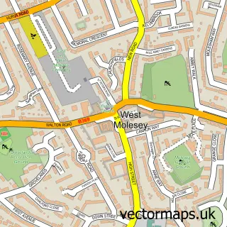
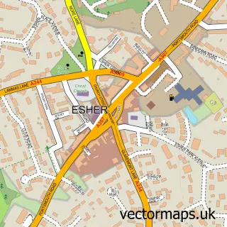
Nearby street map samples around Thames Ditton

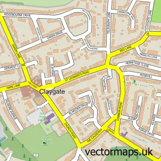
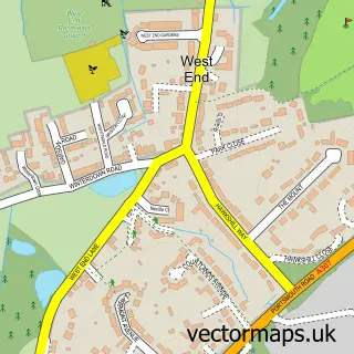
More street maps in Surrey
750 metre map area coverage
Boundary, postcode and point of interest information for the 750m x 750m rectangle centred on this sample map.
Boundaries containing map centre
Constituency: Esher and Walton Boro Const
County: Surrey County
District: Elmbridge District (B)
Icb: NHS Surrey and Sussex ICB
Police Force: surrey
Postcode District: KT7
Postcode Sector: KT7 0
Ward: Thames Ditton Ward
Nearby boundaries intersecting sample
Constituency: Twickenham Boro Const
County: Greater London Authority
District: Richmond upon Thames London Boro
Icb: NHS South West London ICB
Police Force: metropolitan
Postcode District: KT6, KT8
Postcode Sector: KT6 5, KT8 9
Ward: Hampton Ward, Long Ditton Ward
Postcode coverage
POI category counts
Hair Salon: 6
Professional Services: 6
Building Supply Store: 5
Pub: 5
Real Estate Agent: 5
Advertising Agency: 3
Bakery: 3
Cafe: 3
Coffee Shop: 3
Convenience Store: 3
Sample points of interest
- LK & Associates
- England Sports Group
- February Hemlock
- Helsen Communications
- Randolph Watson
- Hampton Suites
- Craft My Day
- The Pottery & Craft Studio
- Shellwood Productions
- The Leo House Partnership
- Home of Compassion
- TrustFord Kingston
Create a larger editable map of Thames Ditton
This sample shows only a 750 metre area. To create a larger map of Thames Ditton, use our map builder to choose your own coverage area, add titles and download editable SVG, PDF and PNG files.
Create a custom map of Thames Ditton