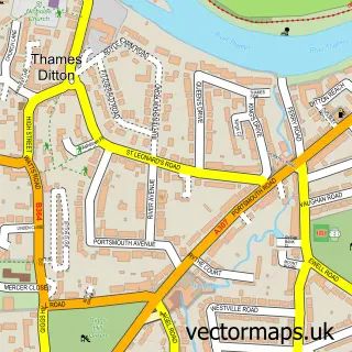
This Kingston upon Thames street map is a detailed vector street map covering a 750m x 750m area. Select a larger area to create and download your own vector street map of Kingston upon Thames.
The 750-metre map sample for Kingston upon Thames covers 125 mapped buildings and approximately 18.0 km of road detail, of which 44 named roads are named. The immediate area includes 1 school, 1 railway station, 15 GP surgeries within 2 miles and 17 pubs among other local services. The wider area around Kingston upon Thames features 11 tourism points of interest, 100 food and drink venues and 5 hotels. To create a larger or custom map of Kingston upon Thames, the map builder lets you define your own coverage area and download editable SVG, PDF and PNG files.
Create a larger editable map of Kingston upon Thames
Choose any area you need and generate a high-quality vector map instantly. Perfect for print, planning, design, business and personal use.

This Kingston upon Thames street map in Greater London is available as downloadable SVG, PDF and PNG map files, or as a printed map for planning, business, display, education, local information and design work. You can also create a larger custom map area using the map selector.
What this Kingston upon Thames map sample shows
Kingston upon Thames lies within Greater London Authority parish, part of Grove ward in the Kingston Upon Thames London Boro local authority area. The postcode geography for this area includes the KT postcode area, the KT1 postcode district and the KT1 2 postcode sector. Residents fall under the Nhs South West London Integrated Care Board for NHS services.
Local features near Kingston upon Thames
Within 2 milesAmenities and services in and around Kingston upon Thames.
Administrative and postcode information for Kingston upon Thames
The local authority covering Kingston upon Thames is Kingston Upon Thames London Boro, within the county of Greater London. The settlement lies within Grove ward and Greater London Authority civil parish. The KT1 postcode district and KT1 2 postcode sector serve the immediate area. NHS provision in the area is delivered through Kingston Hospital Nhs Foundation Trust.
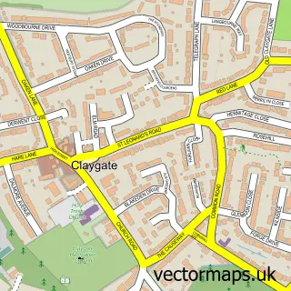
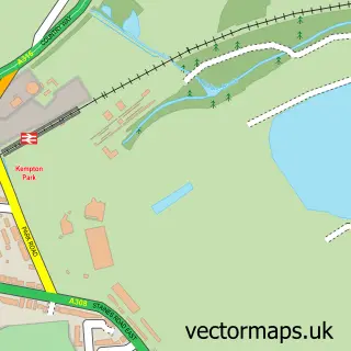
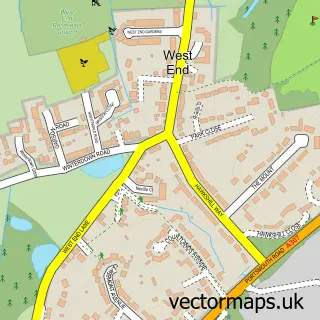
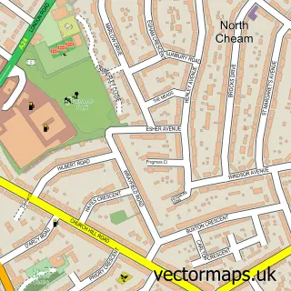
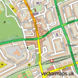
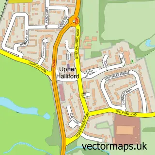
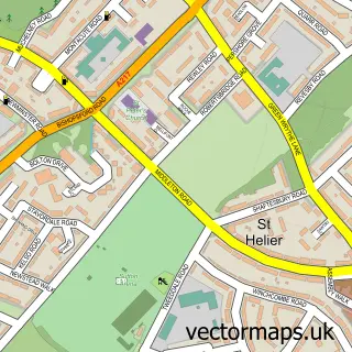
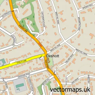
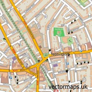
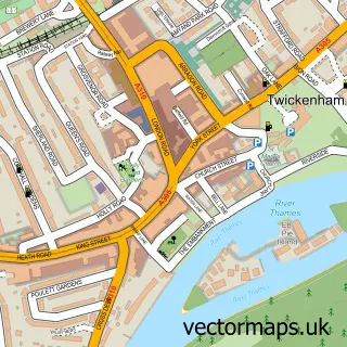
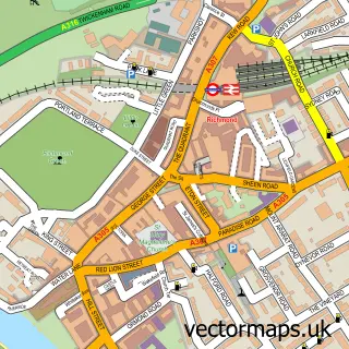
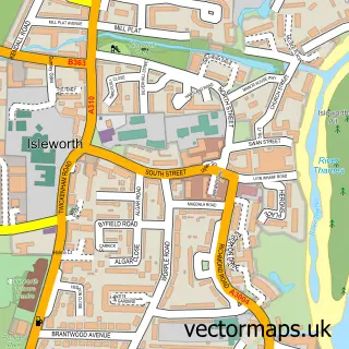
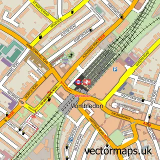
Nearby street map samples around Kingston upon Thames

More street maps in Greater London
750 metre map area coverage
Boundary, postcode and point of interest information for the 750m x 750m rectangle centred on this sample map.
Boundaries containing map centre
Constituency: Kingston and Surbiton Boro Const
County: Greater London Authority
District: Kingston upon Thames London Boro
Icb: NHS South West London ICB
Police Force: metropolitan
Postcode District: KT1
Postcode Sector: KT1 1
Ward: Kingston Town Ward
Nearby boundaries intersecting sample
Constituency: Twickenham Boro Const
District: Richmond upon Thames London Boro
Postcode District: KT2
Postcode Sector: KT1 2, KT1 4, KT2 5, KT2 6
Ward: Hampton Wick & South Teddington Ward
Postcode coverage
POI category counts
Clothing Store: 67
Coffee Shop: 28
Restaurant: 28
Cafe: 27
Jewelry Store: 26
Shoe Store: 23
Cosmetic And Beauty Supplies: 20
Beauty Salon: 19
Real Estate Agent: 19
Employment Agencies: 18
Sample points of interest
- One Penrhyn Road
- iQ Student Accommodation
- Access All Areas
- Collards Chartered Accountants
- Kingston Fairfield
- Kingston Primary Care Trust
- Musa Dilek Personal Training
- River Thames Running
- Chinese Acupuncture
- Ann Summers
- Blue Qube Design
- George P Johnson
Create a larger editable map of Kingston upon Thames
This sample shows only a 750 metre area. To create a larger map of Kingston upon Thames, use our map builder to choose your own coverage area, add titles and download editable SVG, PDF and PNG files.
Create a custom map of Kingston upon Thames