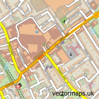
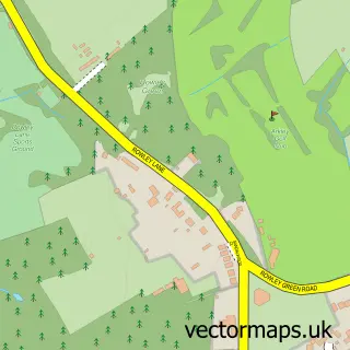
This Elstree street map is a detailed vector street map covering a 750m x 750m area. Select a larger area to create and download your own vector street map of Elstree.
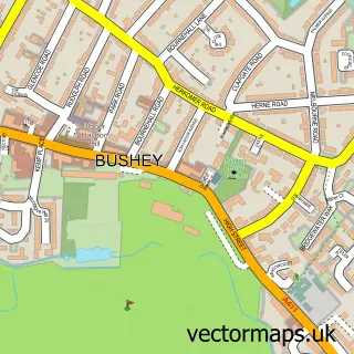
The 750-metre map sample for Elstree covers 258 mapped buildings and approximately 12.8 km of road detail, of which 32 named roads are named. The immediate area includes 1 GP surgery, with 4 within 2 miles and 5 MOT stations within 2 miles. The wider area around Elstree features 1 campsite within 2 miles. To create a larger or custom map of Elstree, the map builder lets you define your own coverage area and download editable SVG, PDF and PNG files.
Create a larger editable map of Elstree
Choose any area you need and generate a high-quality vector map instantly. Perfect for print, planning, design, business and personal use.

This Elstree street map in Hertfordshire is available as downloadable SVG, PDF and PNG map files, or as a printed map for planning, business, display, education, local information and design work. You can also create a larger custom map area using the map selector.
What this Elstree map sample shows
Elstree lies within Elstree And Borehamwood Cp parish, part of Elstree ward in the Hertsmere District (B) local authority area. The postcode geography for this area includes the WD postcode area, the WD6 postcode district and the WD6 3 postcode sector. Residents fall under the Nhs Hertfordshire And West Essex Integrated Care Board for NHS services.
Local features near Elstree
Within 2 milesAmenities and services in and around Elstree.
Administrative and postcode information for Elstree
The local authority covering Elstree is Hertsmere District (B), within the county of Hertfordshire. The settlement lies within Elstree ward and Elstree And Borehamwood Cp civil parish. The WD6 postcode district and WD6 3 postcode sector serve the immediate area. NHS provision in the area is delivered through Royal Free London Nhs Foundation Trust.
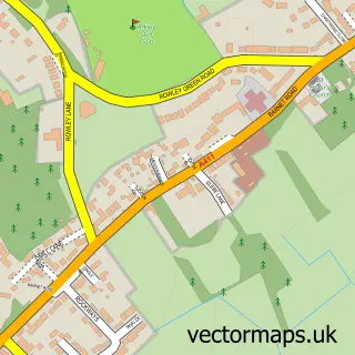
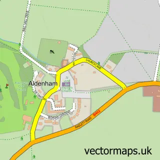
Nearby street map samples around Elstree

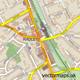

More street maps in Hertfordshire
750 metre map area coverage
Boundary, postcode and point of interest information for the 750m x 750m rectangle centred on this sample map.
Boundaries containing map centre
Constituency: Hertsmere Co Const
County: Hertfordshire County
District: Hertsmere District (B)
Icb: NHS Central East ICB
Parish: Elstree and Borehamwood CP
Police Force: hertfordshire
Postcode District: WD6
Postcode Sector: WD6 3
Ward: Elstree Ward
Nearby boundaries intersecting sample
No additional intersecting boundaries found.
Postcode coverage
POI category counts
Bookkeeper: 2
Building Supply Store: 2
Contractor: 2
Day Care Preschool: 2
Elementary School: 2
Junk Removal And Hauling: 2
Real Estate Agent: 2
Retirement Home: 2
Accountant: 1
Advertising Agency: 1
Sample points of interest
- Tally Accountants Uk
- Cyber-Duck
- Hill House Care Home - Bupa
- Ranger Security Systems
- Titanium Electrical Contracting
- Mums Cakes London
- Tiki Bar
- Skiin Lab London
- Igs Bookkeeping
- Integra Web Services
- Elswood Joinery
- Wholesale Cartons
Create a larger editable map of Elstree
This sample shows only a 750 metre area. To create a larger map of Elstree, use our map builder to choose your own coverage area, add titles and download editable SVG, PDF and PNG files.
Create a custom map of Elstree