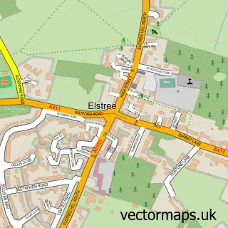
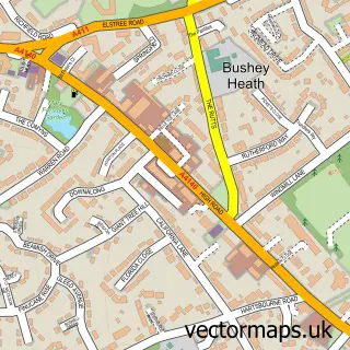
This Borehamwood street map is a detailed vector street map covering a 750m x 750m area. Select a larger area to create and download your own vector street map of Borehamwood.
The 750-metre map sample for Borehamwood covers 403 mapped buildings and approximately 17.3 km of road detail, of which 36 named roads are named. The immediate area includes 1 railway station, 1 GP surgery, with 3 within 2 miles, 11 pubs and 2 MOT stations, with 7 within 2 miles. The wider area around Borehamwood features 5 tourism points of interest, 32 food and drink venues and 3 hotels. To create a larger or custom map of Borehamwood, the map builder lets you define your own coverage area and download editable SVG, PDF and PNG files.
Create a larger editable map of Borehamwood
Choose any area you need and generate a high-quality vector map instantly. Perfect for print, planning, design, business and personal use.

This Borehamwood street map in Hertfordshire is available as downloadable SVG, PDF and PNG map files, or as a printed map for planning, business, display, education, local information and design work. You can also create a larger custom map area using the map selector.
What this Borehamwood map sample shows
Borehamwood lies within Elstree And Borehamwood Cp parish, part of Borehamwood Brookmeadow ward in the Hertsmere District (B) local authority area. The postcode geography for this area includes the WD postcode area, the WD6 postcode district and the WD6 1 postcode sector. Residents fall under the Nhs Hertfordshire And West Essex Integrated Care Board for NHS services.
Local features near Borehamwood
Within 2 milesAmenities and services in and around Borehamwood.
Administrative and postcode information for Borehamwood
The local authority covering Borehamwood is Hertsmere District (B), within the county of Hertfordshire. The settlement lies within Borehamwood Brookmeadow ward and Elstree And Borehamwood Cp civil parish. The WD6 postcode district and WD6 1 postcode sector serve the immediate area. NHS provision in the area is delivered through Royal Free London Nhs Foundation Trust.
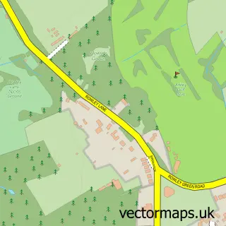
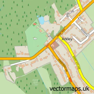
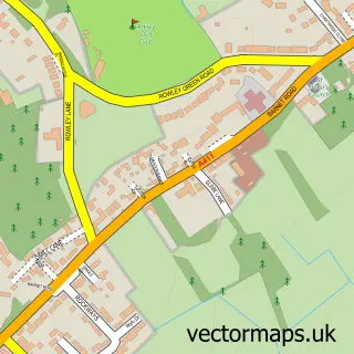
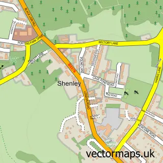
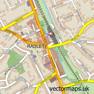
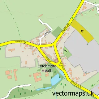
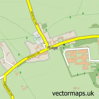
Nearby street map samples around Borehamwood

More street maps in Hertfordshire
750 metre map area coverage
Boundary, postcode and point of interest information for the 750m x 750m rectangle centred on this sample map.
Boundaries containing map centre
Constituency: Hertsmere Co Const
County: Hertfordshire County
District: Hertsmere District (B)
Icb: NHS Central East ICB
Parish: Elstree and Borehamwood CP
Police Force: hertfordshire
Postcode District: WD6
Postcode Sector: WD6 1
Nearby boundaries intersecting sample
Postcode Sector: WD6 2, WD6 3, WD6 4
Ward: Borehamwood Brookmeadow Ward, Borehamwood Hillside Ward, Elstree Ward
Postcode coverage
POI category counts
Hair Salon: 17
Real Estate Agent: 16
Beauty Salon: 15
Professional Services: 14
Fast Food Restaurant: 12
It Service And Computer Repair: 11
Pub: 11
Supermarket: 11
Financial Service: 10
Clothing Store: 9
Sample points of interest
- Butterfield & Associates
- Q Financial Solutions
- SRJ Accounting Services Limited
- Stewart & Partners
- Lord of Body
- Zadi Hasan Barnet Acupuncture
- Magic Box Creative
- Mehadrin Tnuport Export UK
- Polestar Promotions
- T M D
- Herts Cars
- Christine Brock PhD, BSc , MNIMH, FIBMS. Medical Herba
Create a larger editable map of Borehamwood
This sample shows only a 750 metre area. To create a larger map of Borehamwood, use our map builder to choose your own coverage area, add titles and download editable SVG, PDF and PNG files.
Create a custom map of Borehamwood