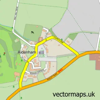
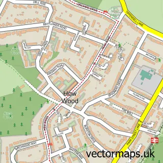
This Letchmore Heath street map is a detailed vector street map covering a 750m x 750m area. Select a larger area to create and download your own vector street map of Letchmore Heath.
The 750-metre map sample for Letchmore Heath covers 116 mapped buildings and approximately 6.7 km of road detail, of which 6 named roads are named. The immediate area includes 1 GP surgery within 2 miles, 1 pub and 4 MOT stations within 2 miles. The wider area around Letchmore Heath features 1 food and drink venue and 1 campsite within 2 miles. To create a larger or custom map of Letchmore Heath, the map builder lets you define your own coverage area and download editable SVG, PDF and PNG files.
Create a larger editable map of Letchmore Heath
Choose any area you need and generate a high-quality vector map instantly. Perfect for print, planning, design, business and personal use.

This Letchmore Heath street map in Hertfordshire is available as downloadable SVG, PDF and PNG map files, or as a printed map for planning, business, display, education, local information and design work. You can also create a larger custom map area using the map selector.
What this Letchmore Heath map sample shows
Letchmore Heath lies within Aldenham Cp parish, part of Aldenham West ward in the Hertsmere District (B) local authority area. The postcode geography for this area includes the WD postcode area, the WD25 postcode district and the WD25 8 postcode sector. Residents fall under the Nhs Hertfordshire And West Essex Integrated Care Board for NHS services.
Local features near Letchmore Heath
Within 2 milesAmenities and services in and around Letchmore Heath.
Administrative and postcode information for Letchmore Heath
The local authority covering Letchmore Heath is Hertsmere District (B), within the county of Hertfordshire. The settlement lies within Aldenham West ward and Aldenham Cp civil parish. The WD25 postcode district and WD25 8 postcode sector serve the immediate area. NHS provision in the area is delivered through Royal Free London Nhs Foundation Trust.
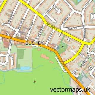
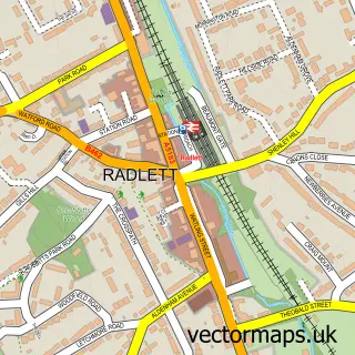
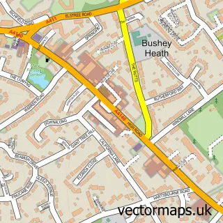
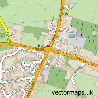
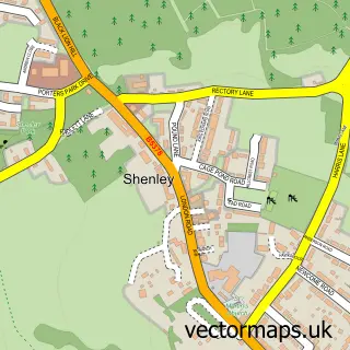
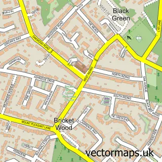
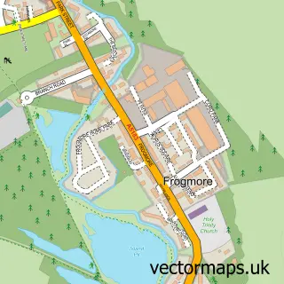
Nearby street map samples around Letchmore Heath

More street maps in Hertfordshire
750 metre map area coverage
Boundary, postcode and point of interest information for the 750m x 750m rectangle centred on this sample map.
Boundaries containing map centre
Constituency: Hertsmere Co Const
County: Hertfordshire County
District: Hertsmere District (B)
Icb: NHS Central East ICB
Parish: Aldenham CP
Police Force: hertfordshire
Postcode District: WD25
Postcode Sector: WD25 8
Ward: Aldenham West Ward
Nearby boundaries intersecting sample
Postcode District: WD7
Postcode Sector: WD7 8
Postcode coverage
POI category counts
Hindu Temple: 3
Elementary School: 2
Organization: 2
Real Estate Agent: 2
Buddhist Temple: 1
Business Management Services: 1
Education: 1
Farm: 1
Flowers And Gifts Shop: 1
Lake: 1
Sample points of interest
- Hare Krishna Mandir, Watford
- Igd Services Ltd.
- Iskcon
- Edge Grove School
- Hare Krishna Temple Watford - ISKCON Bhaktivedanta Manor
- New Gokul Farm
- Lilac & Willow Flowers
- Bhaktivedanta Manor - Hare Krishna Temple Watford
- Hare Krishna Temple Watford
- Iskon Temple Watford
- Letchmore Heath Pond
- Bhaktivedanta Manor
Create a larger editable map of Letchmore Heath
This sample shows only a 750 metre area. To create a larger map of Letchmore Heath, use our map builder to choose your own coverage area, add titles and download editable SVG, PDF and PNG files.
Create a custom map of Letchmore Heath