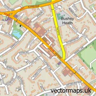
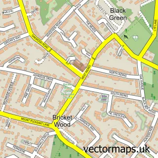
This Bushey street map is a detailed vector street map covering a 750m x 750m area. Select a larger area to create and download your own vector street map of Bushey.
The 750-metre map sample for Bushey covers 389 mapped buildings and approximately 15.9 km of road detail, of which 36 named roads are named. The immediate area includes 7 GP surgeries within 2 miles, 6 pubs and 1 MOT station, with 20 within 2 miles. The wider area around Bushey features 5 tourism points of interest and 11 food and drink venues. To create a larger or custom map of Bushey, the map builder lets you define your own coverage area and download editable SVG, PDF and PNG files.
Create a larger editable map of Bushey
Choose any area you need and generate a high-quality vector map instantly. Perfect for print, planning, design, business and personal use.

This Bushey street map in Hertfordshire is available as downloadable SVG, PDF and PNG map files, or as a printed map for planning, business, display, education, local information and design work. You can also create a larger custom map area using the map selector.
What this Bushey map sample shows
Bushey lies within Hertfordshire County parish, part of Bushey Heath ward in the Hertsmere District (B) local authority area. The postcode geography for this area includes the WD postcode area, the WD23 postcode district and the WD23 1 postcode sector. Residents fall under the Nhs Hertfordshire And West Essex Integrated Care Board for NHS services.
Local features near Bushey
Within 2 milesAmenities and services in and around Bushey.
Administrative and postcode information for Bushey
Bushey lies within Hertfordshire County parish, part of Bushey Heath ward in the Hertsmere District (B) local authority area. The postcode geography for this area includes the WD postcode area, the WD23 postcode district and the WD23 1 postcode sector. Residents fall under the Nhs Hertfordshire And West Essex Integrated Care Board for NHS services.
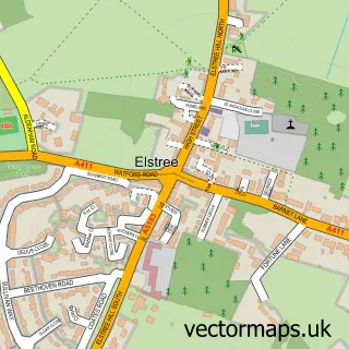
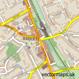
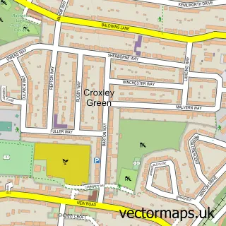
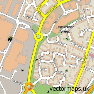
Nearby street map samples around Bushey

More street maps in Hertfordshire
750 metre map area coverage
Boundary, postcode and point of interest information for the 750m x 750m rectangle centred on this sample map.
Boundaries containing map centre
Constituency: Hertsmere Co Const
County: Hertfordshire County
District: Hertsmere District (B)
Icb: NHS Central East ICB
Police Force: hertfordshire
Postcode District: WD23
Postcode Sector: WD23 3
Ward: Bushey St. James Ward
Nearby boundaries intersecting sample
Postcode Sector: WD23 1, WD23 4
Ward: Bushey Park Ward
Postcode coverage
POI category counts
Professional Services: 7
Advertising Agency: 6
Pub: 6
Dentist: 5
Real Estate Agent: 5
Beauty Salon: 4
Elementary School: 4
Hair Salon: 4
Land Surveying: 4
Retail: 4
Sample points of interest
- Pas Accountants
- Imarco
- J2
- J2 Design Marketing Digital
- Origin 8 Design
- Teleconnexion
- Touchstone Growth
- Bushey Golf Centre
- Euro Arts
- Mavis of Bushey
- Anchor - Meadowcroft
- Barchester - Bushey House Beaumont Care Home
Create a larger editable map of Bushey
This sample shows only a 750 metre area. To create a larger map of Bushey, use our map builder to choose your own coverage area, add titles and download editable SVG, PDF and PNG files.
Create a custom map of Bushey