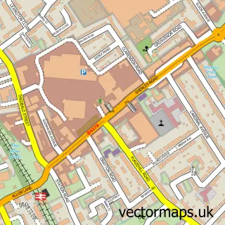
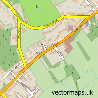
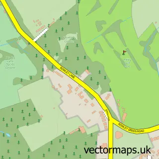
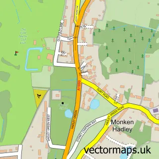
This Barnet Gate street map is a detailed vector street map covering a 750m x 750m area. Select a larger area to create and download your own vector street map of Barnet Gate.
The 750-metre map sample for Barnet Gate covers 185 mapped buildings and approximately 8.2 km of road detail, of which 10 named roads are named. The immediate area includes 5 GP surgeries within 2 miles, 1 pub and 11 MOT stations within 2 miles. The wider area around Barnet Gate features 2 tourism points of interest and 1 food and drink venue. To create a larger or custom map of Barnet Gate, the map builder lets you define your own coverage area and download editable SVG, PDF and PNG files.
Create a larger editable map of Barnet Gate
Choose any area you need and generate a high-quality vector map instantly. Perfect for print, planning, design, business and personal use.

This Barnet Gate street map in Greater London is available as downloadable SVG, PDF and PNG map files, or as a printed map for planning, business, display, education, local information and design work. You can also create a larger custom map area using the map selector.
What this Barnet Gate map sample shows
Barnet Gate lies within Greater London Authority parish, part of High Barnet ward in the Barnet London Boro local authority area. The postcode geography for this area includes the EN postcode area, the EN5 postcode district and the EN5 3 postcode sector. Residents fall under the Nhs North Central London Integrated Care Board for NHS services.
Local features near Barnet Gate
Within 2 milesAmenities and services in and around Barnet Gate.
Administrative and postcode information for Barnet Gate
The local authority covering Barnet Gate is Barnet London Boro, within the county of Greater London. The settlement lies within High Barnet ward and Greater London Authority civil parish. The EN5 postcode district and EN5 3 postcode sector serve the immediate area. NHS provision in the area is delivered through Royal Free London Nhs Foundation Trust.
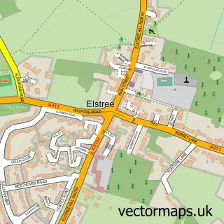
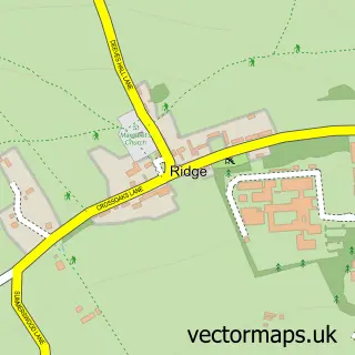
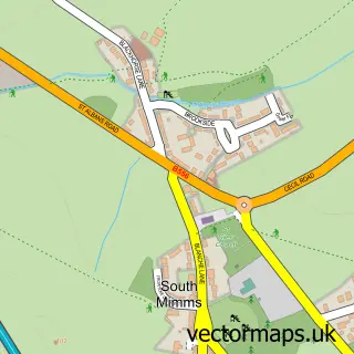
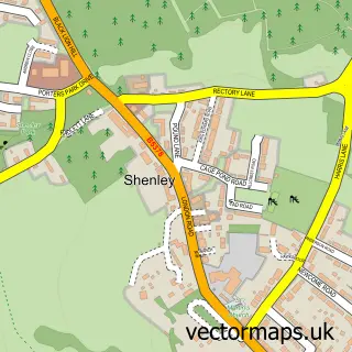
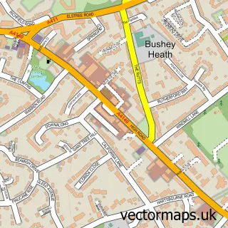
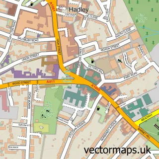
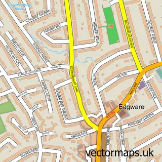
Nearby street map samples around Barnet Gate

More street maps in Greater London
750 metre map area coverage
Boundary, postcode and point of interest information for the 750m x 750m rectangle centred on this sample map.
Boundaries containing map centre
Constituency: Chipping Barnet Boro Const
County: Greater London Authority
District: Barnet London Boro
Icb: NHS West and North London IC
Police Force: metropolitan
Postcode District: EN5
Postcode Sector: EN5 3
Ward: High Barnet Ward
Nearby boundaries intersecting sample
Postcode District: NW7
Postcode Sector: EN5 2, NW7 4
Ward: Edgwarebury Ward
Postcode coverage
POI category counts
Advertising Agency: 1
Auto Detailing: 1
Building Supply Store: 1
Community Center: 1
Disability Services And Support Organization: 1
Garbage Collection Service: 1
Home Service: 1
It Service And Computer Repair: 1
Landmark And Historical Building: 1
Music School: 1
Sample points of interest
- M J Associates
- Arkley Hand Car Wash
- Paul Collins
- Arkley Village Hall
- Stepping Stones Day Club
- Bin N Gone
- Arkley's Little Acorns Nursery
- Syssolutions
- Barnet Gate
- Y Roberts - Wooldridge Violin-Theory
- Pics Checkout Ltd.
- Barnet Gate Wood
Create a larger editable map of Barnet Gate
This sample shows only a 750 metre area. To create a larger map of Barnet Gate, use our map builder to choose your own coverage area, add titles and download editable SVG, PDF and PNG files.
Create a custom map of Barnet Gate