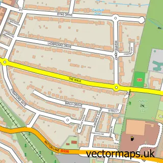
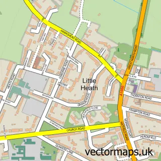
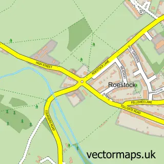
This South Mimms street map is a detailed vector street map covering a 750m x 750m area. Select a larger area to create and download your own vector street map of South Mimms.
The 750-metre map sample for South Mimms covers 110 mapped buildings and approximately 11.2 km of road detail, of which 9 named roads are named. The immediate area includes 1 school, 2 pubs and 4 MOT stations within 2 miles. The wider area around South Mimms features 2 food and drink venues. To create a larger or custom map of South Mimms, the map builder lets you define your own coverage area and download editable SVG, PDF and PNG files.
Create a larger editable map of South Mimms
Choose any area you need and generate a high-quality vector map instantly. Perfect for print, planning, design, business and personal use.

This South Mimms street map in Hertfordshire is available as downloadable SVG, PDF and PNG map files, or as a printed map for planning, business, display, education, local information and design work. You can also create a larger custom map area using the map selector.
What this South Mimms map sample shows
South Mimms lies within South Mimms And Ridge Cp parish, part of Shenley ward in the Hertsmere District (B) local authority area. The postcode geography for this area includes the EN postcode area, the EN6 postcode district and the EN6 3 postcode sector. Residents fall under the Nhs Hertfordshire And West Essex Integrated Care Board for NHS services.
Local features near South Mimms
Within 2 milesAmenities and services in and around South Mimms.
Administrative and postcode information for South Mimms
The local authority covering South Mimms is Hertsmere District (B), within the county of Hertfordshire. The settlement lies within Shenley ward and South Mimms And Ridge Cp civil parish. The EN6 postcode district and EN6 3 postcode sector serve the immediate area. NHS provision in the area is delivered through Royal Free London Nhs Foundation Trust.
Nearby street map samples around South Mimms

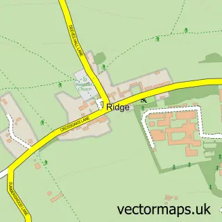
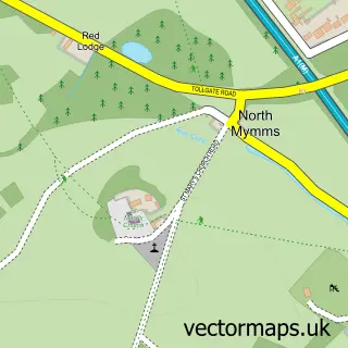
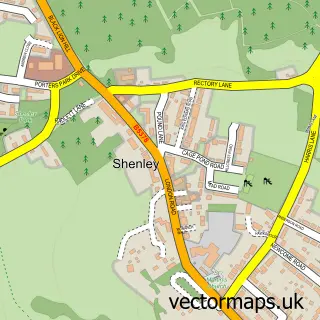
More street maps in Hertfordshire
750 metre map area coverage
Boundary, postcode and point of interest information for the 750m x 750m rectangle centred on this sample map.
Boundaries containing map centre
Constituency: Hertsmere Co Const
County: Hertfordshire County
District: Hertsmere District (B)
Icb: NHS Central East ICB
Parish: South Mimms and Ridge CP
Police Force: hertfordshire
Postcode District: EN6
Postcode Sector: EN6 3
Ward: Shenley Ward
Nearby boundaries intersecting sample
No additional intersecting boundaries found.
Postcode coverage
POI category counts
Grocery Store: 2
Pub: 2
Tree Services: 2
Advertising Agency: 1
Automotive: 1
Bar: 1
Building Supply Store: 1
Bus Service: 1
Business: 1
Community Center: 1
Sample points of interest
- David Ashdown Voiceover
- Chauffeur Rentals
- Black Horse
- Liscoe Construction
- Location Chauffeurs
- Arlingham House
- South Mimms Village Hall
- St Giles C of E Primary School
- Prospect Claims Management
- Impress Waste Solutions
- Murco Petroleum
- Costcutter
Create a larger editable map of South Mimms
This sample shows only a 750 metre area. To create a larger map of South Mimms, use our map builder to choose your own coverage area, add titles and download editable SVG, PDF and PNG files.
Create a custom map of South Mimms