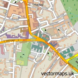
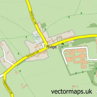
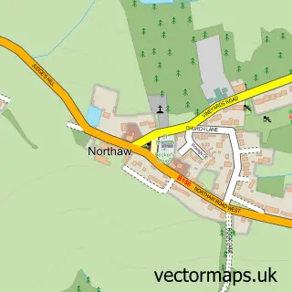
This Hadley street map is a detailed vector street map covering a 750m x 750m area. Select a larger area to create and download your own vector street map of Hadley.
The 750-metre map sample for Hadley covers 128 mapped buildings and approximately 10.5 km of road detail, of which 17 named roads are named. The immediate area includes 5 GP surgeries within 2 miles and 11 MOT stations within 2 miles. The wider area around Hadley features 4 tourism points of interest. To create a larger or custom map of Hadley, the map builder lets you define your own coverage area and download editable SVG, PDF and PNG files.
Create a larger editable map of Hadley
Choose any area you need and generate a high-quality vector map instantly. Perfect for print, planning, design, business and personal use.

This Hadley street map in Greater London is available as downloadable SVG, PDF and PNG map files, or as a printed map for planning, business, display, education, local information and design work. You can also create a larger custom map area using the map selector.
What this Hadley map sample shows
Hadley lies within Greater London Authority parish, part of High Barnet ward in the Barnet London Boro local authority area. The postcode geography for this area includes the EN postcode area, the EN5 postcode district and the EN5 5 postcode sector. Residents fall under the Nhs North Central London Integrated Care Board for NHS services.
Local features near Hadley
Within 2 milesAmenities and services in and around Hadley.
Administrative and postcode information for Hadley
The local authority covering Hadley is Barnet London Boro, within the county of Greater London. The settlement lies within High Barnet ward and Greater London Authority civil parish. The EN5 postcode district and EN5 5 postcode sector serve the immediate area. NHS provision in the area is delivered through Royal Free London Nhs Foundation Trust.
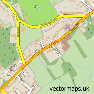
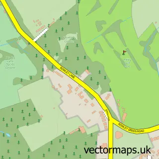
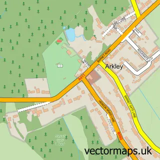
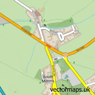
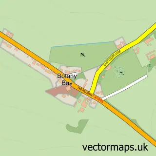
Nearby street map samples around Hadley

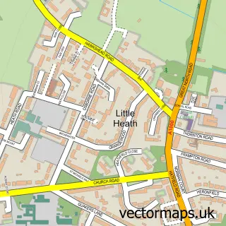
More street maps in Greater London
750 metre map area coverage
Boundary, postcode and point of interest information for the 750m x 750m rectangle centred on this sample map.
Boundaries containing map centre
Constituency: Chipping Barnet Boro Const
County: Greater London Authority
District: Barnet London Boro
Icb: NHS West and North London IC
Police Force: metropolitan
Postcode District: EN5
Postcode Sector: EN5 4
Ward: High Barnet Ward
Nearby boundaries intersecting sample
Constituency: Hertsmere Co Const
County: Hertfordshire County
District: Hertsmere District (B)
Icb: NHS Central East ICB
Police Force: hertfordshire
Postcode District: EN4
Postcode Sector: EN4 0, EN5 5
Ward: Bentley Heath & The Royds Ward
Postcode coverage
POI category counts
Landmark And Historical Building: 3
Church Cathedral: 2
Anglican Church: 1
Brewing Supply Store: 1
Charity Organization: 1
Dance School: 1
Employment Agencies: 1
Funeral Services And Cemeteries: 1
Golf Equipment: 1
Golf Instructor: 1
Sample points of interest
- St Mary the Virgin, Monken Hadley
- Herts Drinks
- Haemochromatosis Society
- St Mary the Virgin
- St Marys Monken Hadley
- Highstone Dance Academy
- Merchant Rose
- Hadley Memorial Hall
- G & J Golf Ltd.
- GP Golf LTD
- Icarus Computer Systems
- Grandon, Hadley Green
Create a larger editable map of Hadley
This sample shows only a 750 metre area. To create a larger map of Hadley, use our map builder to choose your own coverage area, add titles and download editable SVG, PDF and PNG files.
Create a custom map of Hadley