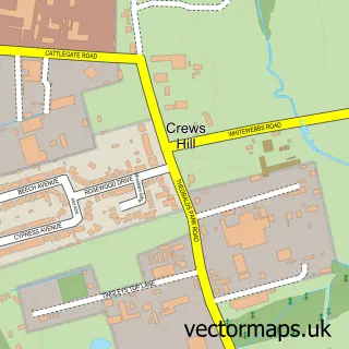
This Northaw street map is a detailed vector street map covering a 750m x 750m area. Select a larger area to create and download your own vector street map of Northaw.
The 750-metre map sample for Northaw covers 113 mapped buildings and approximately 5.1 km of road detail, of which 6 named roads are named. The immediate area includes 1 school, 4 GP surgeries within 2 miles, 2 pubs and 6 MOT stations within 2 miles. The wider area around Northaw features 2 food and drink venues. To create a larger or custom map of Northaw, the map builder lets you define your own coverage area and download editable SVG, PDF and PNG files.
Create a larger editable map of Northaw
Choose any area you need and generate a high-quality vector map instantly. Perfect for print, planning, design, business and personal use.

This Northaw street map in Hertfordshire is available as downloadable SVG, PDF and PNG map files, or as a printed map for planning, business, display, education, local information and design work. You can also create a larger custom map area using the map selector.
What this Northaw map sample shows
Northaw lies within Northaw And Cuffley Cp parish, part of Northaw And Cuffley ward in the Welwyn Hatfield District (B) local authority area. The postcode geography for this area includes the EN postcode area, the EN6 postcode district and the EN6 4 postcode sector. Residents fall under the Nhs Hertfordshire And West Essex Integrated Care Board for NHS services.
Local features near Northaw
Within 2 milesAmenities and services in and around Northaw.
Administrative and postcode information for Northaw
The local authority covering Northaw is Welwyn Hatfield District (B), within the county of Hertfordshire. The settlement lies within Northaw And Cuffley ward and Northaw And Cuffley Cp civil parish. The EN6 postcode district and EN6 4 postcode sector serve the immediate area. NHS provision in the area is delivered through Royal Free London Nhs Foundation Trust.
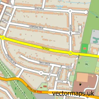
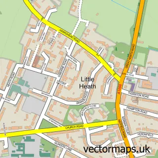
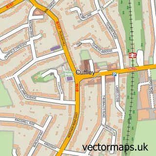
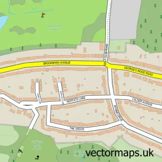
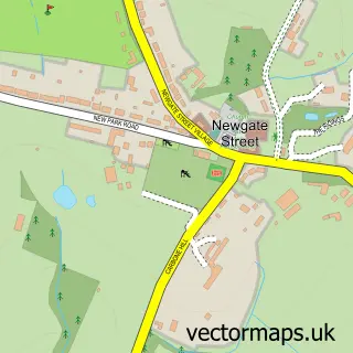
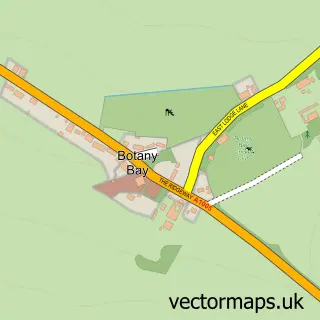
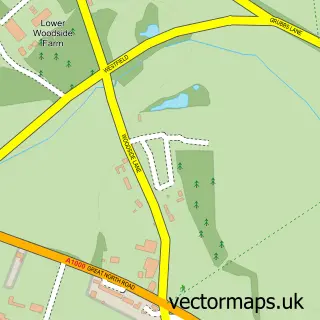
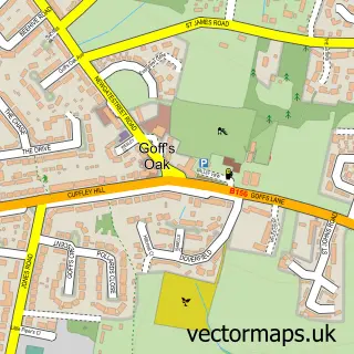
Nearby street map samples around Northaw

More street maps in Hertfordshire
750 metre map area coverage
Boundary, postcode and point of interest information for the 750m x 750m rectangle centred on this sample map.
Boundaries containing map centre
Constituency: Hertsmere Co Const
County: Hertfordshire County
District: Welwyn Hatfield District (B)
Icb: NHS Central East ICB
Parish: Northaw and Cuffley CP
Police Force: hertfordshire
Postcode District: EN6
Postcode Sector: EN6 4
Ward: Northaw & Cuffley Ward
Nearby boundaries intersecting sample
No additional intersecting boundaries found.
Postcode coverage
POI category counts
Cocktail Bar: 2
Elementary School: 2
Pub: 2
Anglican Church: 1
Architectural Designer: 1
Church Cathedral: 1
Community Center: 1
Key And Locksmith: 1
Martial Arts Club: 1
Preschool: 1
Sample points of interest
- St Thomas
- Rojo Project
- St Thomas a' Becket's Church
- Judges Bar & Restaurant Potters Bar
- Judges Northaw
- Northaw Village Hall
- Northaw C of E Primary School
- Northaw Church of England Primary School
- Local Locksmiths Services
- UK Wing Chun Kung Fu
- Little Bear Cubs Pre-school
- Oshwal Association of the UK
Create a larger editable map of Northaw
This sample shows only a 750 metre area. To create a larger map of Northaw, use our map builder to choose your own coverage area, add titles and download editable SVG, PDF and PNG files.
Create a custom map of Northaw