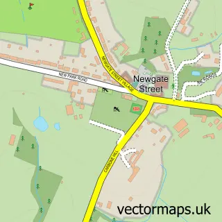
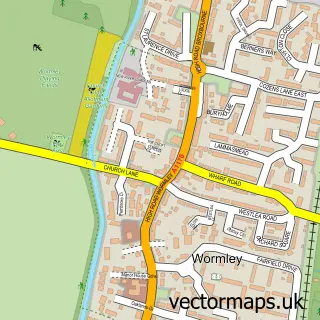
This Goffs Oak street map is a detailed vector street map covering a 750m x 750m area. Select a larger area to create and download your own vector street map of Goffs Oak.
The 750-metre map sample for Goffs Oak covers 400 mapped buildings and approximately 13.2 km of road detail, of which 23 named roads are named. The immediate area includes 1 school, 3 GP surgeries within 2 miles, 2 pubs and 1 MOT station, with 2 within 2 miles. The wider area around Goffs Oak features 2 food and drink venues and 1 campsite within 2 miles. To create a larger or custom map of Goffs Oak, the map builder lets you define your own coverage area and download editable SVG, PDF and PNG files.
Create a larger editable map of Goffs Oak
Choose any area you need and generate a high-quality vector map instantly. Perfect for print, planning, design, business and personal use.

This Goffs Oak street map in Hertfordshire is available as downloadable SVG, PDF and PNG map files, or as a printed map for planning, business, display, education, local information and design work. You can also create a larger custom map area using the map selector.
What this Goffs Oak map sample shows
Goffs Oak lies within Hertfordshire County parish, part of Goffs Oak ward in the Broxbourne District (B) local authority area. The postcode geography for this area includes the EN postcode area, the EN7 postcode district and the EN7 5 postcode sector. Residents fall under the Nhs Hertfordshire And West Essex Integrated Care Board for NHS services.
Local features near Goffs Oak
Within 2 milesAmenities and services in and around Goffs Oak.
Administrative and postcode information for Goffs Oak
Goffs Oak lies within Hertfordshire County parish, part of Goffs Oak ward in the Broxbourne District (B) local authority area. The postcode geography for this area includes the EN postcode area, the EN7 postcode district and the EN7 5 postcode sector. Residents fall under the Nhs Hertfordshire And West Essex Integrated Care Board for NHS services.
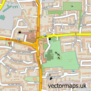
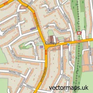
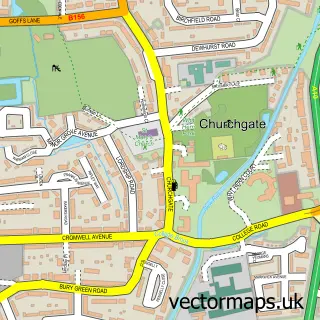
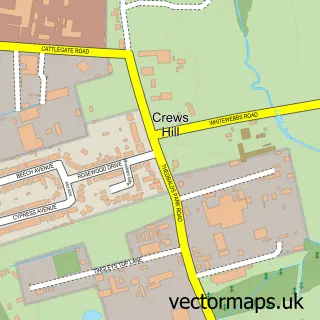
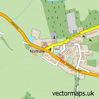
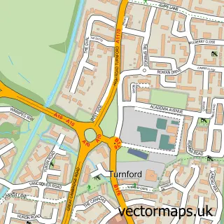
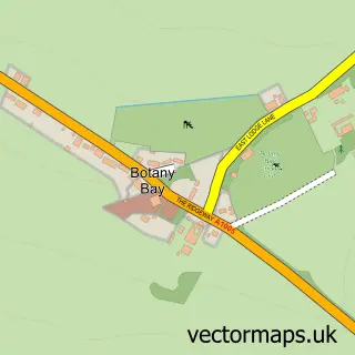
Nearby street map samples around Goffs Oak

More street maps in Hertfordshire
750 metre map area coverage
Boundary, postcode and point of interest information for the 750m x 750m rectangle centred on this sample map.
Boundaries containing map centre
Constituency: Broxbourne Co Const
County: Hertfordshire County
District: Broxbourne District (B)
Icb: NHS Central East ICB
Police Force: hertfordshire
Postcode District: EN7
Postcode Sector: EN7 5
Ward: Goffs Oak Ward
Nearby boundaries intersecting sample
Postcode Sector: EN7 6
Postcode coverage
POI category counts
Beauty Salon: 3
Hair Salon: 3
Elementary School: 2
Post Office: 2
Pub: 2
Tire Dealer And Repair: 2
Accountant: 1
Appliance Store: 1
Atms: 1
Audiovisual Equipment Rental: 1
Sample points of interest
- O'Byrne & Kennedy
- Chic Furnishing
- The Cooperative Food (BF) Goffs Oak, Goffs Oak
- JPM Plant Hire Ltd.
- Goff S Oak Indoor Car Wash
- Aj's Tyres
- The Sugar Smith
- Hughes & Co Barbers
- The Gentry
- Beautifully Defined Aesthetics
- Hw Aesthetics
- Refine Beauty
Create a larger editable map of Goffs Oak
This sample shows only a 750 metre area. To create a larger map of Goffs Oak, use our map builder to choose your own coverage area, add titles and download editable SVG, PDF and PNG files.
Create a custom map of Goffs Oak