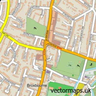
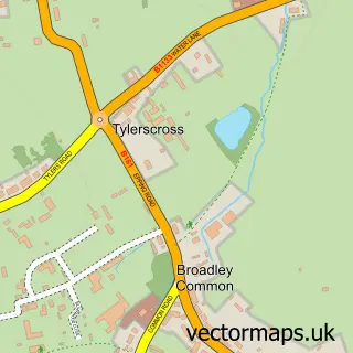
This Wormley street map is a detailed vector street map covering a 750m x 750m area. Select a larger area to create and download your own vector street map of Wormley.
The 750-metre map sample for Wormley covers 360 mapped buildings and approximately 13.4 km of road detail, of which 25 named roads are named. The immediate area includes 6 GP surgeries within 2 miles, 2 pubs and 1 MOT station, with 8 within 2 miles. The wider area around Wormley features 1 tourism point of interest, 4 food and drink venues and 2 campsites within 2 miles. To create a larger or custom map of Wormley, the map builder lets you define your own coverage area and download editable SVG, PDF and PNG files.
Create a larger editable map of Wormley
Choose any area you need and generate a high-quality vector map instantly. Perfect for print, planning, design, business and personal use.

This Wormley street map in Hertfordshire is available as downloadable SVG, PDF and PNG map files, or as a printed map for planning, business, display, education, local information and design work. You can also create a larger custom map area using the map selector.
What this Wormley map sample shows
Wormley lies within Hertfordshire County parish, part of Wormley And Turnford ward in the Broxbourne District (B) local authority area. The postcode geography for this area includes the EN postcode area, the EN10 postcode district and the EN10 6 postcode sector. Residents fall under the Nhs Hertfordshire And West Essex Integrated Care Board for NHS services.
Local features near Wormley
Within 2 milesAmenities and services in and around Wormley.
Administrative and postcode information for Wormley
Wormley lies within Hertfordshire County parish, part of Wormley And Turnford ward in the Broxbourne District (B) local authority area. The postcode geography for this area includes the EN postcode area, the EN10 postcode district and the EN10 6 postcode sector. Residents fall under the Nhs Hertfordshire And West Essex Integrated Care Board for NHS services.
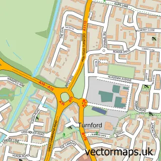
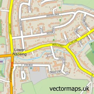
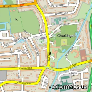
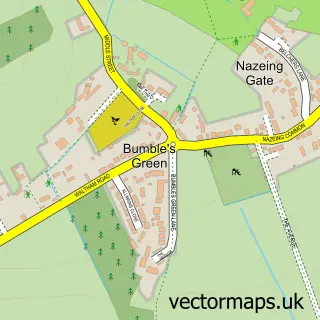
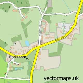
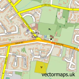
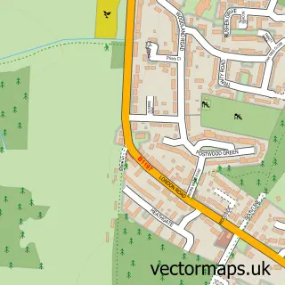
Nearby street map samples around Wormley

More street maps in Hertfordshire
750 metre map area coverage
Boundary, postcode and point of interest information for the 750m x 750m rectangle centred on this sample map.
Boundaries containing map centre
Constituency: Broxbourne Co Const
County: Hertfordshire County
District: Broxbourne District (B)
Icb: NHS Central East ICB
Police Force: hertfordshire
Postcode District: EN10
Postcode Sector: EN10 6
Ward: Wormley and Turnford Ward
Nearby boundaries intersecting sample
Ward: Broxbourne and Hoddesdon South Ward
Postcode coverage
POI category counts
Convenience Store: 5
Gas Station: 5
Building Supply Store: 3
Contractor: 3
Professional Services: 3
Asian Restaurant: 2
Beauty Salon: 2
Community Center: 2
Kids Recreation And Party: 2
Nail Salon: 2
Sample points of interest
- CMP Fitness
- Infrared Design Solutions
- Millhouse Osteopathic Practice
- Church Room
- Hillsquare
- ELA Design
- Broxbourne Big Local
- Rayu Pan Asian Broxbourne
- Tuk Tuk Broxbourne
- Shopping Basket - Costcutter 24046
- Used Cars-UK
- Quinn Tony
Create a larger editable map of Wormley
This sample shows only a 750 metre area. To create a larger map of Wormley, use our map builder to choose your own coverage area, add titles and download editable SVG, PDF and PNG files.
Create a custom map of Wormley