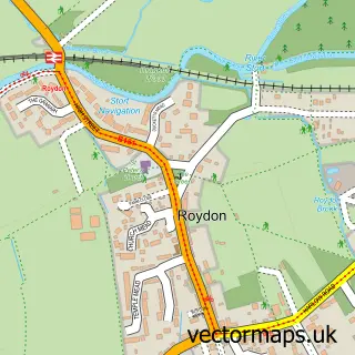
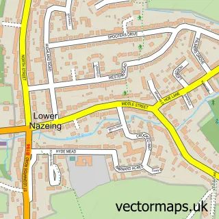
This Tylers Cross street map is a detailed vector street map covering a 750m x 750m area. Select a larger area to create and download your own vector street map of Tylers Cross.
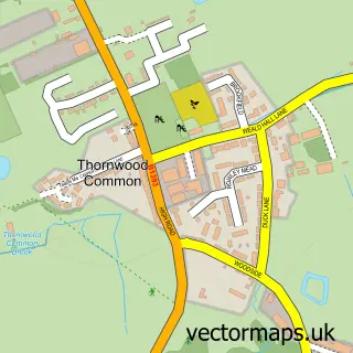
The 750-metre map sample for Tylers Cross covers 162 mapped buildings and approximately 6.5 km of road detail, of which 5 named roads are named. The immediate area includes 1 GP surgery within 2 miles, 1 pub and 1 MOT station, with 9 within 2 miles. The wider area around Tylers Cross features 2 food and drink venues. To create a larger or custom map of Tylers Cross, the map builder lets you define your own coverage area and download editable SVG, PDF and PNG files.
Create a larger editable map of Tylers Cross
Choose any area you need and generate a high-quality vector map instantly. Perfect for print, planning, design, business and personal use.

This Tylers Cross street map in Essex is available as downloadable SVG, PDF and PNG map files, or as a printed map for planning, business, display, education, local information and design work. You can also create a larger custom map area using the map selector.
What this Tylers Cross map sample shows
Tylers Cross lies within Roydon Cp parish, part of Broadley Common, Epping Upland And Nazeing ward in the Epping Forest District local authority area. The postcode geography for this area includes the EN postcode area, the EN9 postcode district and the EN9 2 postcode sector. Residents fall under the Nhs Hertfordshire And West Essex Integrated Care Board for NHS services.
Local features near Tylers Cross
Within 2 milesAmenities and services in and around Tylers Cross.
Administrative and postcode information for Tylers Cross
Tylers Cross lies within Roydon Cp parish, part of Broadley Common, Epping Upland And Nazeing ward in the Epping Forest District local authority area. The postcode geography for this area includes the EN postcode area, the EN9 postcode district and the EN9 2 postcode sector. Residents fall under the Nhs Hertfordshire And West Essex Integrated Care Board for NHS services.
Nearby street map samples around Tylers Cross
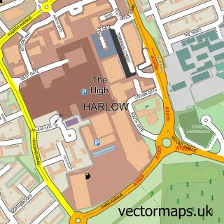

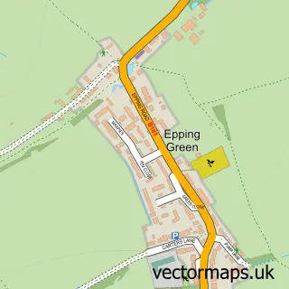
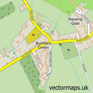
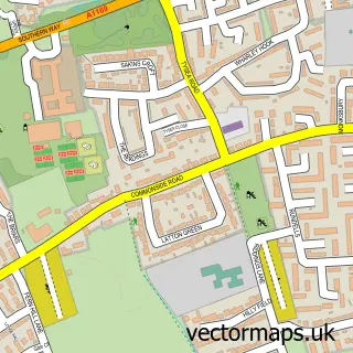
More street maps in Essex
750 metre map area coverage
Boundary, postcode and point of interest information for the 750m x 750m rectangle centred on this sample map.
Boundaries containing map centre
Constituency: Epping Forest Co Const
County: Essex County
District: Epping Forest District
Icb: NHS Central East ICB
Parish: Roydon CP
Police Force: essex
Postcode District: CM19
Postcode Sector: CM19 5
Ward: Epping West & Rural Ward
Nearby boundaries intersecting sample
Constituency: Harlow Co Const
Parish: Nazeing CP
Postcode District: EN9
Postcode Sector: EN9 2
Ward: Roydon & Lower Nazeing Ward, Sumners & Kingsmoor Ward
Postcode coverage
POI category counts
Automotive Repair: 6
Nursery And Gardening: 3
Animal Shelter: 2
Building Supply Store: 2
Aquatic Pet Store: 1
Auto Detailing: 1
Automotive: 1
Business Management Services: 1
Cafe: 1
Contractor: 1
Sample points of interest
- Ada Cole Rescue Stables
- Redwings Horse Sanctuary
- Friendly Fish Aquatics
- RSW Valeting Services
- Prime Motors
- Auto Golden Crown LTD
- EA Vehicle Repairs Ltd
- Graham garage
- P Munson Automotives
- PR Automotive
- UpCars Garage and Recovery
- Breakers Roofing
Create a larger editable map of Tylers Cross
This sample shows only a 750 metre area. To create a larger map of Tylers Cross, use our map builder to choose your own coverage area, add titles and download editable SVG, PDF and PNG files.
Create a custom map of Tylers Cross