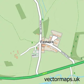
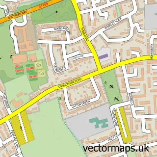
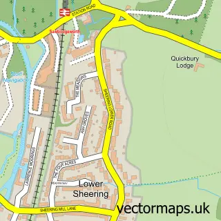
This Gilston street map is a detailed vector street map covering a 750m x 750m area. Select a larger area to create and download your own vector street map of Gilston.
The 750-metre map sample for Gilston covers 69 mapped buildings and approximately 5.1 km of road detail, of which 5 named roads are named. The immediate area includes 5 GP surgeries within 2 miles and 16 MOT stations within 2 miles. To create a larger or custom map of Gilston, the map builder lets you define your own coverage area and download editable SVG, PDF and PNG files.
Create a larger editable map of Gilston
Choose any area you need and generate a high-quality vector map instantly. Perfect for print, planning, design, business and personal use.

This Gilston street map in Hertfordshire is available as downloadable SVG, PDF and PNG map files, or as a printed map for planning, business, display, education, local information and design work. You can also create a larger custom map area using the map selector.
What this Gilston map sample shows
Gilston lies within Gilston Cp parish, part of Hunsdon ward in the East Hertfordshire District local authority area. The postcode geography for this area includes the CM postcode area, the CM20 postcode district and the CM20 2 postcode sector. Residents fall under the Nhs Hertfordshire And West Essex Integrated Care Board for NHS services.
Local features near Gilston
Within 2 milesAmenities and services in and around Gilston.
Administrative and postcode information for Gilston
The local authority covering Gilston is East Hertfordshire District, within the county of Hertfordshire. The settlement lies within Hunsdon ward and Gilston Cp civil parish. The CM20 postcode district and CM20 2 postcode sector serve the immediate area. NHS provision in the area is delivered through The Princess Alexandra Hospital Nhs Trust.
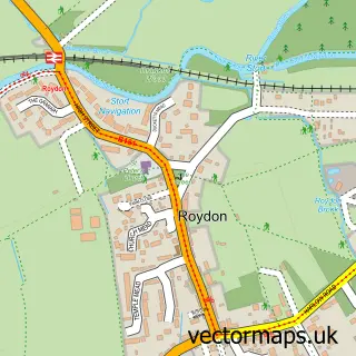
Nearby street map samples around Gilston

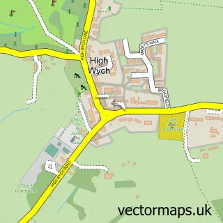
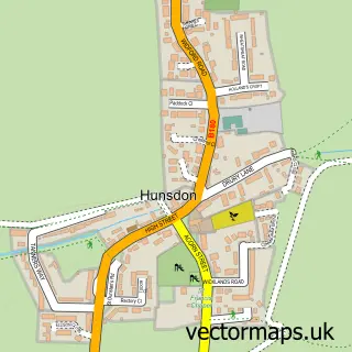
More street maps in Hertfordshire
750 metre map area coverage
Boundary, postcode and point of interest information for the 750m x 750m rectangle centred on this sample map.
Boundaries containing map centre
Constituency: Hertford and Stortford Co Const
County: Hertfordshire County
District: East Hertfordshire District
Icb: NHS Central East ICB
Parish: Gilston CP
Police Force: hertfordshire
Postcode District: CM20
Postcode Sector: CM20 2
Ward: Hunsdon Ward
Nearby boundaries intersecting sample
Constituency: Harlow Co Const
County: Essex County
District: Harlow District
Parish: Eastwick CP
Police Force: essex
Ward: Much Hadham Ward, Netteswell Ward
Postcode coverage
POI category counts
Jewelry Store: 2
Active Life: 1
Appliance Manufacturer: 1
Art Gallery: 1
Beauty Salon: 1
Building Contractor: 1
Caterer: 1
Community Center: 1
Electronics: 1
Elementary School: 1
Sample points of interest
- Tennison Studios
- The Woodyard
- Guruve
- Rose Bryan Hair
- Excel Cleaning Services
- Simply Taste
- Eastwick and Gilston Village Hall
- Total Logic Security
- Colourbox Montessori Nursery
- Plume of Feathers
- The Carat Shop
- The Carat Shop
Create a larger editable map of Gilston
This sample shows only a 750 metre area. To create a larger map of Gilston, use our map builder to choose your own coverage area, add titles and download editable SVG, PDF and PNG files.
Create a custom map of Gilston