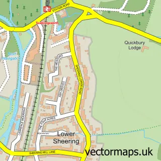
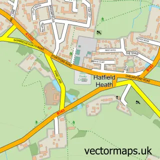
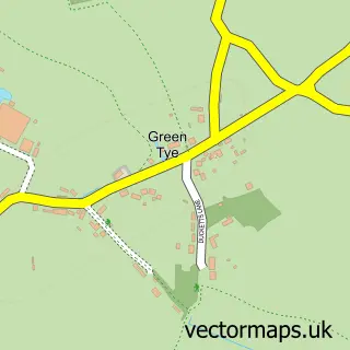
This Sawbridgeworth street map is a detailed vector street map covering a 750m x 750m area. Select a larger area to create and download your own vector street map of Sawbridgeworth.
The 750-metre map sample for Sawbridgeworth covers 551 mapped buildings and approximately 17.7 km of road detail, of which 41 named roads are named. The immediate area includes 3 schools, 1 GP surgery, with 2 within 2 miles, 6 pubs and 9 MOT stations within 2 miles. The wider area around Sawbridgeworth features 16 food and drink venues. To create a larger or custom map of Sawbridgeworth, the map builder lets you define your own coverage area and download editable SVG, PDF and PNG files.
Create a larger editable map of Sawbridgeworth
Choose any area you need and generate a high-quality vector map instantly. Perfect for print, planning, design, business and personal use.

This Sawbridgeworth street map in Hertfordshire is available as downloadable SVG, PDF and PNG map files, or as a printed map for planning, business, display, education, local information and design work. You can also create a larger custom map area using the map selector.
What this Sawbridgeworth map sample shows
Sawbridgeworth lies within Sawbridgeworth Cp parish, part of Sawbridgeworth ward in the East Hertfordshire District local authority area. The postcode geography for this area includes the CM postcode area, the CM21 postcode district and the CM21 0 postcode sector. Residents fall under the Nhs Hertfordshire And West Essex Integrated Care Board for NHS services.
Local features near Sawbridgeworth
Within 2 milesAmenities and services in and around Sawbridgeworth.
Administrative and postcode information for Sawbridgeworth
Sawbridgeworth lies within Sawbridgeworth Cp parish, part of Sawbridgeworth ward in the East Hertfordshire District local authority area. The postcode geography for this area includes the CM postcode area, the CM21 postcode district and the CM21 0 postcode sector. Residents fall under the Nhs Hertfordshire And West Essex Integrated Care Board for NHS services.
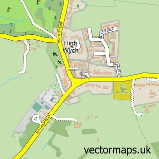
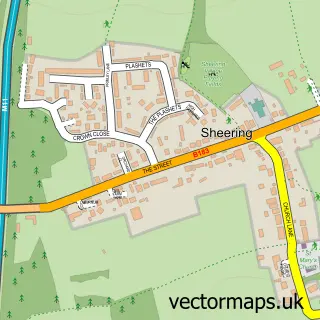
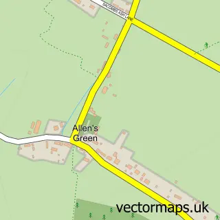
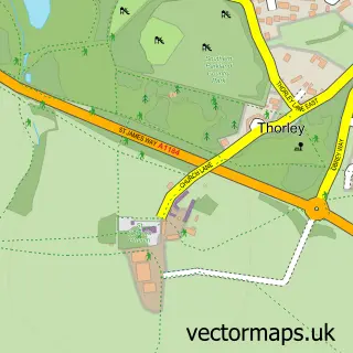
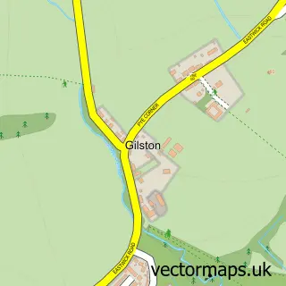
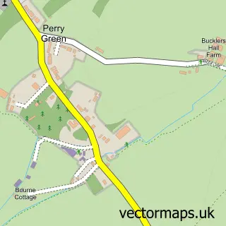
Nearby street map samples around Sawbridgeworth

More street maps in Hertfordshire
750 metre map area coverage
Boundary, postcode and point of interest information for the 750m x 750m rectangle centred on this sample map.
Boundaries containing map centre
Constituency: Hertford and Stortford Co Const
County: Hertfordshire County
District: East Hertfordshire District
Icb: NHS Central East ICB
Parish: Sawbridgeworth CP
Police Force: hertfordshire
Postcode District: CM21
Postcode Sector: CM21 9
Ward: Sawbridgeworth Ward
Nearby boundaries intersecting sample
Postcode Sector: CM21 0
Postcode coverage
POI category counts
Professional Services: 15
Beauty Salon: 9
Building Supply Store: 9
Hair Salon: 9
Real Estate Agent: 8
Pub: 6
Convenience Store: 5
Preschool: 5
Barber: 4
Coffee Shop: 4
Sample points of interest
- HGC Accountants
- TaxAssist Accountants
- TaxLocal Accountants
- Folk
- Nicholson Martin
- N D Mellerick
- Great St Mary's
- Antiques & Chic
- Tudor House Gallery
- BigBeats Entertainment
- Sawbo Gallery
- PayPoint
Create a larger editable map of Sawbridgeworth
This sample shows only a 750 metre area. To create a larger map of Sawbridgeworth, use our map builder to choose your own coverage area, add titles and download editable SVG, PDF and PNG files.
Create a custom map of Sawbridgeworth