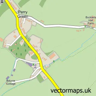
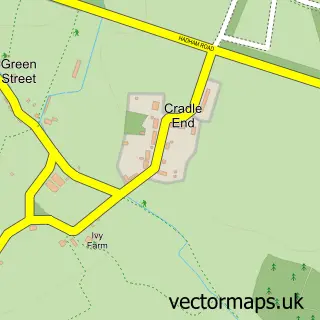
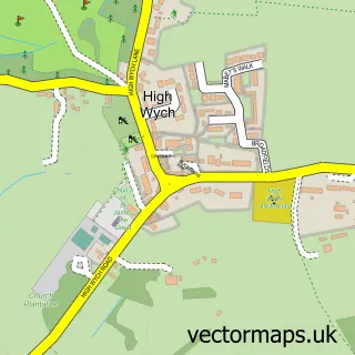
This Green Tye street map is a detailed vector street map covering a 750m x 750m area. Select a larger area to create and download your own vector street map of Green Tye.
The 750-metre map sample for Green Tye covers 78 mapped buildings and approximately 8.1 km of road detail, of which 1 named road are named. The immediate area includes 1 GP surgery within 2 miles, 1 pub and 1 MOT station within 2 miles. The wider area around Green Tye features 1 food and drink venue. To create a larger or custom map of Green Tye, the map builder lets you define your own coverage area and download editable SVG, PDF and PNG files.
Create a larger editable map of Green Tye
Choose any area you need and generate a high-quality vector map instantly. Perfect for print, planning, design, business and personal use.

This Green Tye street map in Hertfordshire is available as downloadable SVG, PDF and PNG map files, or as a printed map for planning, business, display, education, local information and design work. You can also create a larger custom map area using the map selector.
What this Green Tye map sample shows
Green Tye lies within Much Hadham Cp parish, part of Much Hadham ward in the East Hertfordshire District local authority area. The postcode geography for this area includes the SG postcode area, the SG10 postcode district and the SG10 6 postcode sector. Residents fall under the Nhs Hertfordshire And West Essex Integrated Care Board for NHS services.
Local features near Green Tye
Within 2 milesAmenities and services in and around Green Tye.
Administrative and postcode information for Green Tye
Green Tye lies within Much Hadham Cp parish, part of Much Hadham ward in the East Hertfordshire District local authority area. The postcode geography for this area includes the SG postcode area, the SG10 postcode district and the SG10 6 postcode sector. Residents fall under the Nhs Hertfordshire And West Essex Integrated Care Board for NHS services.
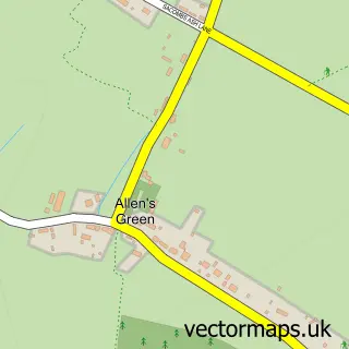
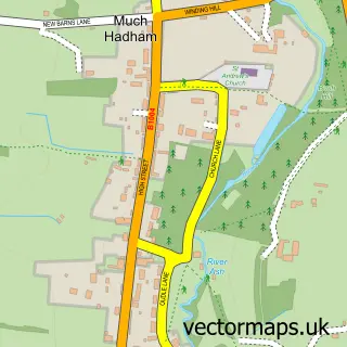
Nearby street map samples around Green Tye

More street maps in Hertfordshire
750 metre map area coverage
Boundary, postcode and point of interest information for the 750m x 750m rectangle centred on this sample map.
Boundaries containing map centre
Constituency: Hertford and Stortford Co Const
County: Hertfordshire County
District: East Hertfordshire District
Icb: NHS Central East ICB
Parish: Much Hadham CP
Police Force: hertfordshire
Postcode District: SG10
Postcode Sector: SG10 6
Ward: Much Hadham Ward
Nearby boundaries intersecting sample
No additional intersecting boundaries found.
Postcode coverage
POI category counts
Bed And Breakfast: 1
Corporate Entertainment Services: 1
Courier And Delivery Services: 1
Fruits And Vegetables: 1
Key And Locksmith: 1
Plumbing: 1
Pub: 1
Sample points of interest
- High Hedges Bed & Breakfast
- Energise Events
- Stansted Airport Courier Services
- Mike's of Sawbridgeworth
- Locksmith Much Hadham
- G H Smith Plumbing & Heating
- The Prince of Wales
Create a larger editable map of Green Tye
This sample shows only a 750 metre area. To create a larger map of Green Tye, use our map builder to choose your own coverage area, add titles and download editable SVG, PDF and PNG files.
Create a custom map of Green Tye