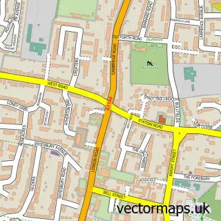
This Widford street map is a detailed vector street map covering a 750m x 750m area. Select a larger area to create and download your own vector street map of Widford.
The 750-metre map sample for Widford covers 174 mapped buildings and approximately 8.1 km of road detail, of which 12 named roads are named. The immediate area includes 1 school, 1 GP surgery within 2 miles and 1 MOT station within 2 miles. To create a larger or custom map of Widford, the map builder lets you define your own coverage area and download editable SVG, PDF and PNG files.
Create a larger editable map of Widford
Choose any area you need and generate a high-quality vector map instantly. Perfect for print, planning, design, business and personal use.

This Widford street map in Hertfordshire is available as downloadable SVG, PDF and PNG map files, or as a printed map for planning, business, display, education, local information and design work. You can also create a larger custom map area using the map selector.
What this Widford map sample shows
Widford lies within Widford Cp parish, part of Hunsdon ward in the East Hertfordshire District local authority area. The postcode geography for this area includes the SG postcode area, the SG12 postcode district and the SG12 8 postcode sector. Residents fall under the Nhs Hertfordshire And West Essex Integrated Care Board for NHS services.
Local features near Widford
Within 2 milesAmenities and services in and around Widford.
Administrative and postcode information for Widford
The local authority covering Widford is East Hertfordshire District, within the county of Hertfordshire. The settlement lies within Hunsdon ward and Widford Cp civil parish. The SG12 postcode district and SG12 8 postcode sector serve the immediate area. NHS provision in the area is delivered through The Princess Alexandra Hospital Nhs Trust.
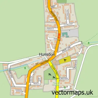
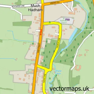
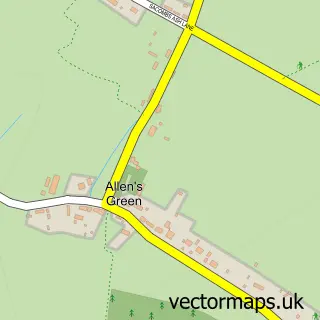
Nearby street map samples around Widford


More street maps in Hertfordshire
750 metre map area coverage
Boundary, postcode and point of interest information for the 750m x 750m rectangle centred on this sample map.
Boundaries containing map centre
Constituency: Hertford and Stortford Co Const
County: Hertfordshire County
District: East Hertfordshire District
Icb: NHS Central East ICB
Parish: Widford CP
Police Force: hertfordshire
Postcode District: SG12
Postcode Sector: SG12 8
Ward: Ware Rural Ward
Nearby boundaries intersecting sample
No additional intersecting boundaries found.
Postcode coverage
POI category counts
Arts And Entertainment: 1
Assisted Living Facility: 1
Beer Bar: 1
Coal And Coke: 1
Community Services Non Profits: 1
Contractor: 1
Lighting Store: 1
Naturopathic Holistic: 1
School: 1
Sample points of interest
- Widford Village Hall
- Ashview Nursing Home
- The Green Man, Widford SG12 8SR
- CPL Distribution Ltd.
- Widford Playing Field
- Woodley Paving & Groundwork
- Inspyer Lighting
- The Little Room of Harmony
- Widford School
Create a larger editable map of Widford
This sample shows only a 750 metre area. To create a larger map of Widford, use our map builder to choose your own coverage area, add titles and download editable SVG, PDF and PNG files.
Create a custom map of Widford