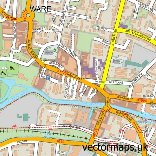
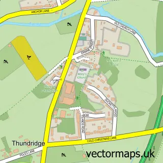
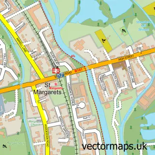
This Wareside street map is a detailed vector street map covering a 750m x 750m area. Select a larger area to create and download your own vector street map of Wareside.
The 750-metre map sample for Wareside covers 76 mapped buildings and approximately 7.9 km of road detail, of which 3 named roads are named. The immediate area includes 1 MOT station within 2 miles. To create a larger or custom map of Wareside, the map builder lets you define your own coverage area and download editable SVG, PDF and PNG files.
Create a larger editable map of Wareside
Choose any area you need and generate a high-quality vector map instantly. Perfect for print, planning, design, business and personal use.

This Wareside street map in Hertfordshire is available as downloadable SVG, PDF and PNG map files, or as a printed map for planning, business, display, education, local information and design work. You can also create a larger custom map area using the map selector.
What this Wareside map sample shows
Wareside lies within Wareside Cp parish, part of Hunsdon ward in the East Hertfordshire District local authority area. The postcode geography for this area includes the SG postcode area, the SG12 postcode district and the SG12 7 postcode sector. Residents fall under the Nhs Hertfordshire And West Essex Integrated Care Board for NHS services.
Local features near Wareside
Within 2 milesAmenities and services in and around Wareside.
Administrative and postcode information for Wareside
Wareside lies within Wareside Cp parish, part of Hunsdon ward in the East Hertfordshire District local authority area. The postcode geography for this area includes the SG postcode area, the SG12 postcode district and the SG12 7 postcode sector. Residents fall under the Nhs Hertfordshire And West Essex Integrated Care Board for NHS services.
Nearby street map samples around Wareside

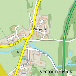
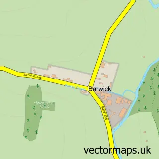
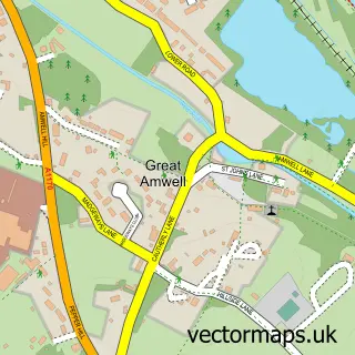
More street maps in Hertfordshire
750 metre map area coverage
Boundary, postcode and point of interest information for the 750m x 750m rectangle centred on this sample map.
Boundaries containing map centre
Constituency: Hertford and Stortford Co Const
County: Hertfordshire County
District: East Hertfordshire District
Icb: NHS Central East ICB
Parish: Wareside CP
Police Force: hertfordshire
Postcode District: SG12
Postcode Sector: SG12 7
Ward: Ware Rural Ward
Nearby boundaries intersecting sample
No additional intersecting boundaries found.
Postcode coverage
POI category counts
Anglican Church: 1
Automotive Repair: 1
British Restaurant: 1
Building Supply Store: 1
Elementary School: 1
Gym: 1
Home Goods Store: 1
Kids Recreation And Party: 1
Roofing: 1
Sample points of interest
- Holy Trinity
- The HGV Repair Centre
- The Chequers Inn
- Clean & Gleam
- Wareside C of E Primary School
- Wareside Parish Council
- Days Lighting Ltd.
- The White Horse
- S G Cooper Roofing Services
Create a larger editable map of Wareside
This sample shows only a 750 metre area. To create a larger map of Wareside, use our map builder to choose your own coverage area, add titles and download editable SVG, PDF and PNG files.
Create a custom map of Wareside