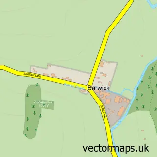
This Thundridge street map is a detailed vector street map covering a 750m x 750m area. Select a larger area to create and download your own vector street map of Thundridge.
The 750-metre map sample for Thundridge covers 151 mapped buildings and approximately 12.2 km of road detail, of which 9 named roads are named. The immediate area includes 1 school, 2 GP surgeries within 2 miles and 4 MOT stations within 2 miles. The wider area around Thundridge features 3 tourism points of interest and 1 campsite within 2 miles. To create a larger or custom map of Thundridge, the map builder lets you define your own coverage area and download editable SVG, PDF and PNG files.
Create a larger editable map of Thundridge
Choose any area you need and generate a high-quality vector map instantly. Perfect for print, planning, design, business and personal use.

This Thundridge street map in Hertfordshire is available as downloadable SVG, PDF and PNG map files, or as a printed map for planning, business, display, education, local information and design work. You can also create a larger custom map area using the map selector.
What this Thundridge map sample shows
Thundridge lies within Thundridge Cp parish, part of Thundridge & Standon ward in the East Hertfordshire District local authority area. The postcode geography for this area includes the SG postcode area, the SG12 postcode district and the SG12 0 postcode sector. Residents fall under the Nhs Hertfordshire And West Essex Integrated Care Board for NHS services.
Local features near Thundridge
Within 2 milesAmenities and services in and around Thundridge.
Administrative and postcode information for Thundridge
Thundridge lies within Thundridge Cp parish, part of Thundridge & Standon ward in the East Hertfordshire District local authority area. The postcode geography for this area includes the SG postcode area, the SG12 postcode district and the SG12 0 postcode sector. Residents fall under the Nhs Hertfordshire And West Essex Integrated Care Board for NHS services.
Nearby street map samples around Thundridge
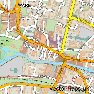

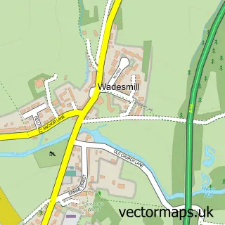
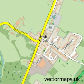
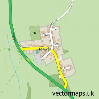

More street maps in Hertfordshire
750 metre map area coverage
Boundary, postcode and point of interest information for the 750m x 750m rectangle centred on this sample map.
Boundaries containing map centre
Constituency: North East Hertfordshire Co Const
County: Hertfordshire County
District: East Hertfordshire District
Icb: NHS Central East ICB
Parish: Thundridge CP
Police Force: hertfordshire
Postcode District: SG12
Postcode Sector: SG12 0
Ward: Ware Rural Ward
Nearby boundaries intersecting sample
No additional intersecting boundaries found.
Postcode coverage
POI category counts
Building Supply Store: 3
Elementary School: 2
Engineering Services: 2
Professional Services: 2
Sports Club And League: 2
Alternative Medicine: 1
Anglican Church: 1
Attractions And Activities: 1
Church Cathedral: 1
Day Care Preschool: 1
Sample points of interest
- Walk Tall McTimoney Chiropractic
- St Mary
- Thundridge Community Orchard
- Djc Contractors
- Jeeves Domestic
- LPS Shutter Doors Ltd
- Thundridge Church
- Busy Lizzies Preschool
- Thundridge Primary School
- Thundridge Primary School
- Max Wright Ltd
- Stephens Engineering
Create a larger editable map of Thundridge
This sample shows only a 750 metre area. To create a larger map of Thundridge, use our map builder to choose your own coverage area, add titles and download editable SVG, PDF and PNG files.
Create a custom map of Thundridge