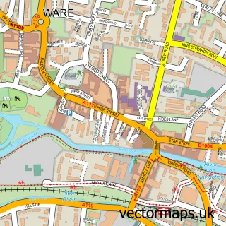
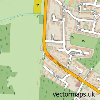
This Great Amwell street map is a detailed vector street map covering a 750m x 750m area. Select a larger area to create and download your own vector street map of Great Amwell.
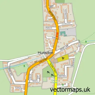
The 750-metre map sample for Great Amwell covers 170 mapped buildings and approximately 11.3 km of road detail, of which 11 named roads are named. The immediate area includes 1 school, 3 GP surgeries within 2 miles, 2 pubs and 9 MOT stations within 2 miles. The wider area around Great Amwell features 2 food and drink venues. To create a larger or custom map of Great Amwell, the map builder lets you define your own coverage area and download editable SVG, PDF and PNG files.
Create a larger editable map of Great Amwell
Choose any area you need and generate a high-quality vector map instantly. Perfect for print, planning, design, business and personal use.

This Great Amwell street map in Hertfordshire is available as downloadable SVG, PDF and PNG map files, or as a printed map for planning, business, display, education, local information and design work. You can also create a larger custom map area using the map selector.
What this Great Amwell map sample shows
Great Amwell lies within Great Amwell Cp parish, part of Great Amwell ward in the East Hertfordshire District local authority area. The postcode geography for this area includes the SG postcode area, the SG12 postcode district and the SG12 9 postcode sector. Residents fall under the Nhs Hertfordshire And West Essex Integrated Care Board for NHS services.
Local features near Great Amwell
Within 2 milesAmenities and services in and around Great Amwell.
Administrative and postcode information for Great Amwell
Great Amwell lies within Great Amwell Cp parish, part of Great Amwell ward in the East Hertfordshire District local authority area. The postcode geography for this area includes the SG postcode area, the SG12 postcode district and the SG12 9 postcode sector. Residents fall under the Nhs Hertfordshire And West Essex Integrated Care Board for NHS services.
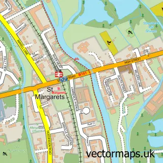
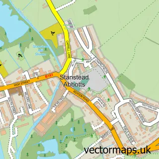
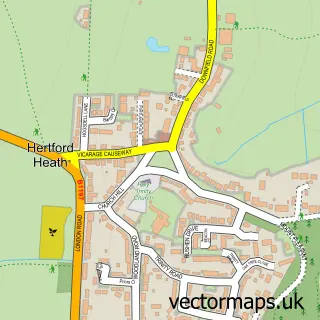
Nearby street map samples around Great Amwell

More street maps in Hertfordshire
750 metre map area coverage
Boundary, postcode and point of interest information for the 750m x 750m rectangle centred on this sample map.
Boundaries containing map centre
Constituency: Broxbourne Co Const
County: Hertfordshire County
District: East Hertfordshire District
Icb: NHS Central East ICB
Parish: Great Amwell CP
Police Force: hertfordshire
Postcode District: SG12
Postcode Sector: SG12 9
Ward: Great Amwell & Stansteads Ward
Nearby boundaries intersecting sample
Postcode Sector: SG12 8
Postcode coverage
POI category counts
Nursery And Gardening: 2
Pub: 2
Anglican Church: 1
Bar: 1
Beauty Salon: 1
Community Center: 1
Elementary School: 1
Event Photography: 1
Gift Shop: 1
Home Service: 1
Sample points of interest
- St John the Baptist
- Choppys Restaurant
- Aesthetics Bar Herts
- Great Amwell Parish Hall
- St John The Baptist CE VA Primary School
- Emagine Productions
- Baobab Jungle
- Little Blue Van Nursery
- Innamorati Garden
- Van Hage & Co Holdings
- Van Hage Great Amwell
- Fratelli Pizza
Create a larger editable map of Great Amwell
This sample shows only a 750 metre area. To create a larger map of Great Amwell, use our map builder to choose your own coverage area, add titles and download editable SVG, PDF and PNG files.
Create a custom map of Great Amwell