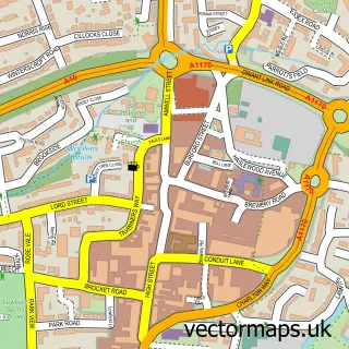
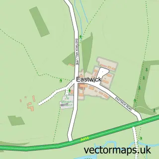
This Stanstead Abbotts street map is a detailed vector street map covering a 750m x 750m area. Select a larger area to create and download your own vector street map of Stanstead Abbotts.
The 750-metre map sample for Stanstead Abbotts covers 258 mapped buildings and approximately 10.2 km of road detail, of which 19 named roads are named. The immediate area includes 1 school, 1 GP surgery within 2 miles, 3 pubs and 5 MOT stations within 2 miles. The wider area around Stanstead Abbotts features 1 tourism point of interest and 9 food and drink venues. To create a larger or custom map of Stanstead Abbotts, the map builder lets you define your own coverage area and download editable SVG, PDF and PNG files.
Create a larger editable map of Stanstead Abbotts
Choose any area you need and generate a high-quality vector map instantly. Perfect for print, planning, design, business and personal use.

This Stanstead Abbotts street map in Hertfordshire is available as downloadable SVG, PDF and PNG map files, or as a printed map for planning, business, display, education, local information and design work. You can also create a larger custom map area using the map selector.
What this Stanstead Abbotts map sample shows
Stanstead Abbotts lies within Stanstead Abbots Cp parish, part of Stanstead Abbots ward in the East Hertfordshire District local authority area. The postcode geography for this area includes the SG postcode area, the SG12 postcode district and the SG12 8 postcode sector. Residents fall under the Nhs Hertfordshire And West Essex Integrated Care Board for NHS services.
Local features near Stanstead Abbotts
Within 2 milesAmenities and services in and around Stanstead Abbotts.
Administrative and postcode information for Stanstead Abbotts
Stanstead Abbotts lies within Stanstead Abbots Cp parish, part of Stanstead Abbots ward in the East Hertfordshire District local authority area. The postcode geography for this area includes the SG postcode area, the SG12 postcode district and the SG12 8 postcode sector. Residents fall under the Nhs Hertfordshire And West Essex Integrated Care Board for NHS services.
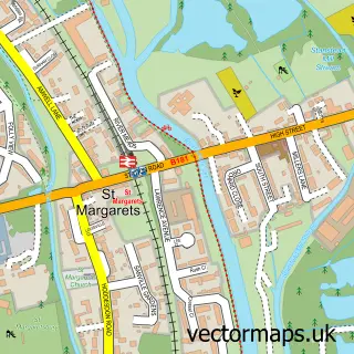
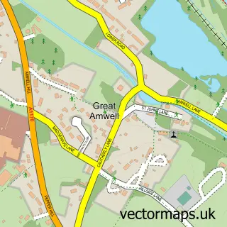
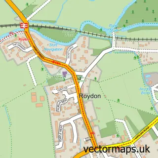
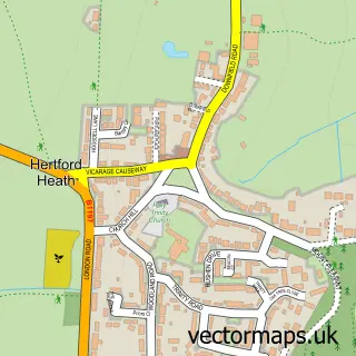
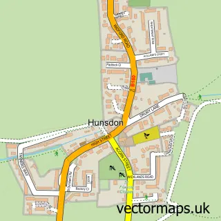
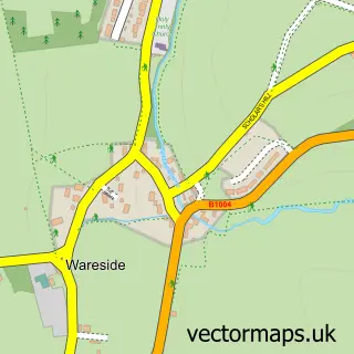
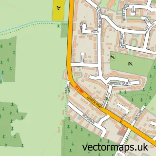
Nearby street map samples around Stanstead Abbotts

More street maps in Hertfordshire
750 metre map area coverage
Boundary, postcode and point of interest information for the 750m x 750m rectangle centred on this sample map.
Boundaries containing map centre
Constituency: Broxbourne Co Const
County: Hertfordshire County
District: East Hertfordshire District
Icb: NHS Central East ICB
Parish: Stanstead Abbots CP
Police Force: hertfordshire
Postcode District: SG12
Postcode Sector: SG12 8
Ward: Great Amwell & Stansteads Ward
Nearby boundaries intersecting sample
No additional intersecting boundaries found.
Postcode coverage
POI category counts
Professional Services: 7
Real Estate Agent: 6
Beauty Salon: 5
It Service And Computer Repair: 5
Coffee Shop: 3
Contractor: 3
Hair Salon: 3
Home Service: 3
Hvac Services: 3
Key And Locksmith: 3
Sample points of interest
- G F Gibbs & Co.
- Hall & Co Accountancy
- Mandy James Holistic Therapies
- St Andrew's Church
- Antique Fireplaces London
- The Architectural Forum
- Copyvision
- Ignite Heating Spares
- Graeme Bowie Designs
- Guruve
- Stanstead Abbotts Ceilidh Society
- Glass Fit
Create a larger editable map of Stanstead Abbotts
This sample shows only a 750 metre area. To create a larger map of Stanstead Abbotts, use our map builder to choose your own coverage area, add titles and download editable SVG, PDF and PNG files.
Create a custom map of Stanstead Abbotts