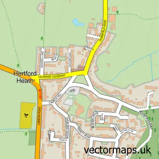
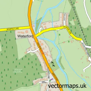
This Hertford Heath street map is a detailed vector street map covering a 750m x 750m area. Select a larger area to create and download your own vector street map of Hertford Heath.
The 750-metre map sample for Hertford Heath covers 254 mapped buildings and approximately 8.8 km of road detail, of which 19 named roads are named. The immediate area includes 1 school, 3 GP surgeries within 2 miles, 2 pubs and 1 MOT station, with 11 within 2 miles. The wider area around Hertford Heath features 1 tourism point of interest, 2 food and drink venues and 1 campsite within 2 miles. To create a larger or custom map of Hertford Heath, the map builder lets you define your own coverage area and download editable SVG, PDF and PNG files.
Create a larger editable map of Hertford Heath
Choose any area you need and generate a high-quality vector map instantly. Perfect for print, planning, design, business and personal use.

This Hertford Heath street map in Hertfordshire is available as downloadable SVG, PDF and PNG map files, or as a printed map for planning, business, display, education, local information and design work. You can also create a larger custom map area using the map selector.
What this Hertford Heath map sample shows
Hertford Heath lies within Hertford Heath Cp parish, part of Hertford Heath ward in the East Hertfordshire District local authority area. The postcode geography for this area includes the SG postcode area, the SG13 postcode district and the SG13 7 postcode sector. Residents fall under the Nhs Hertfordshire And West Essex Integrated Care Board for NHS services.
Local features near Hertford Heath
Within 2 milesAmenities and services in and around Hertford Heath.
Administrative and postcode information for Hertford Heath
The local authority covering Hertford Heath is East Hertfordshire District, within the county of Hertfordshire. The settlement lies within Hertford Heath ward and Hertford Heath Cp civil parish. The SG13 postcode district and SG13 7 postcode sector serve the immediate area. NHS provision in the area is delivered through The Princess Alexandra Hospital Nhs Trust.
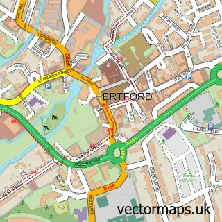
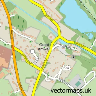
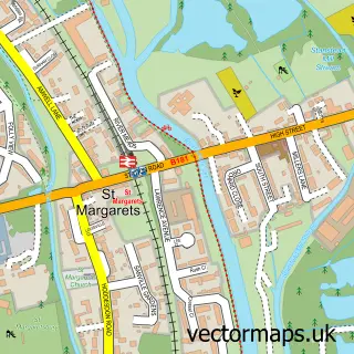
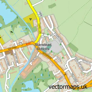
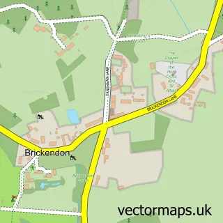
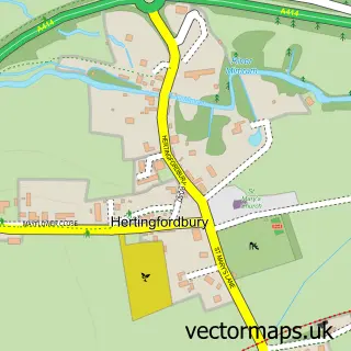
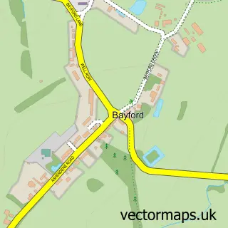
Nearby street map samples around Hertford Heath

More street maps in Hertfordshire
750 metre map area coverage
Boundary, postcode and point of interest information for the 750m x 750m rectangle centred on this sample map.
Boundaries containing map centre
Constituency: Broxbourne Co Const
County: Hertfordshire County
District: East Hertfordshire District
Icb: NHS Central East ICB
Parish: Hertford Heath CP
Police Force: hertfordshire
Postcode District: SG13
Postcode Sector: SG13 7
Ward: Hertford Heath & Brickendon Ward
Nearby boundaries intersecting sample
No additional intersecting boundaries found.
Postcode coverage
POI category counts
Doctor: 2
Electrician: 2
Pest Control Service: 2
Professional Services: 2
Pub: 2
Animal Rescue Service: 1
Automotive Repair: 1
Bathroom Remodeling: 1
Building Supply Store: 1
Candy Store: 1
Sample points of interest
- Cats Whiskers Rescue
- Kerb Appeal
- Elements at Home
- Green Days Garden Services
- Lindsay Sweets
- Hertford Heath Motors and Car Sales
- Hertford Heath Village Hall
- First Class Construction Ltd
- Clair's Cakes
- Elixirum Aesthetics
- Herts Holistic Nutrition
- Bycon
Create a larger editable map of Hertford Heath
This sample shows only a 750 metre area. To create a larger map of Hertford Heath, use our map builder to choose your own coverage area, add titles and download editable SVG, PDF and PNG files.
Create a custom map of Hertford Heath