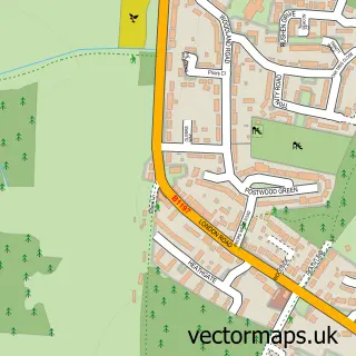
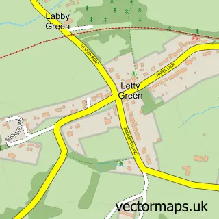
This Brickendon street map is a detailed vector street map covering a 750m x 750m area. Select a larger area to create and download your own vector street map of Brickendon.
The 750-metre map sample for Brickendon covers 91 mapped buildings and approximately 9.2 km of road detail, of which 2 named roads are named. The immediate area includes 3 pubs. The wider area around Brickendon features 1 tourism point of interest and 3 food and drink venues. To create a larger or custom map of Brickendon, the map builder lets you define your own coverage area and download editable SVG, PDF and PNG files.
Create a larger editable map of Brickendon
Choose any area you need and generate a high-quality vector map instantly. Perfect for print, planning, design, business and personal use.

This Brickendon street map in Hertfordshire is available as downloadable SVG, PDF and PNG map files, or as a printed map for planning, business, display, education, local information and design work. You can also create a larger custom map area using the map selector.
What this Brickendon map sample shows
Brickendon lies within Brickendon Liberty Cp parish, part of Hertford Heath ward in the East Hertfordshire District local authority area. The postcode geography for this area includes the SG postcode area, the SG13 postcode district and the SG13 8 postcode sector. Residents fall under the Nhs Hertfordshire And West Essex Integrated Care Board for NHS services.
Local features near Brickendon
Within 2 milesAmenities and services in and around Brickendon.
Administrative and postcode information for Brickendon
Brickendon lies within Brickendon Liberty Cp parish, part of Hertford Heath ward in the East Hertfordshire District local authority area. The postcode geography for this area includes the SG postcode area, the SG13 postcode district and the SG13 8 postcode sector. Residents fall under the Nhs Hertfordshire And West Essex Integrated Care Board for NHS services.
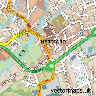
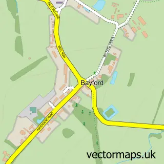
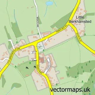
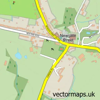
Nearby street map samples around Brickendon

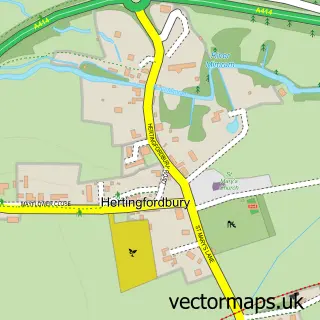
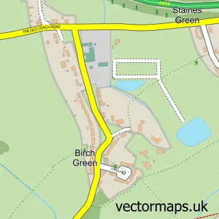
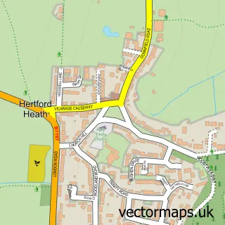
More street maps in Hertfordshire
750 metre map area coverage
Boundary, postcode and point of interest information for the 750m x 750m rectangle centred on this sample map.
Boundaries containing map centre
Constituency: Broxbourne Co Const
County: Hertfordshire County
District: East Hertfordshire District
Icb: NHS Central East ICB
Parish: Brickendon Liberty CP
Police Force: hertfordshire
Postcode District: SG13
Postcode Sector: SG13 8
Ward: Hertford Heath & Brickendon Ward
Nearby boundaries intersecting sample
No additional intersecting boundaries found.
Postcode coverage
POI category counts
Pub: 3
Beauty Salon: 1
Church Cathedral: 1
Community Services Non Profits: 1
Construction Services: 1
Education: 1
Employment Agencies: 1
Event Planning: 1
Fast Food Restaurant: 1
Landmark And Historical Building: 1
Sample points of interest
- Virginia Beau Aesthetics
- Brickenden Church
- Institute of the Motor Industry
- RNB Construction
- Imi Awards Limited
- CV Checks by CJB
- Fanshaws Meeting and Conference Venue
- Brickendon Green
- Brickendon
- Institute of the Motor Industry
- Farmers Boy Brickendon
- The Farmer's Boy
Create a larger editable map of Brickendon
This sample shows only a 750 metre area. To create a larger map of Brickendon, use our map builder to choose your own coverage area, add titles and download editable SVG, PDF and PNG files.
Create a custom map of Brickendon