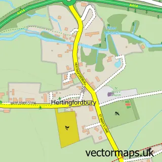
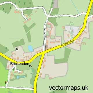
This Hertford street map is a detailed vector street map covering a 750m x 750m area. Select a larger area to create and download your own vector street map of Hertford.
The 750-metre map sample for Hertford covers 294 mapped buildings and approximately 20.6 km of road detail, of which 56 named roads are named. The immediate area includes 1 primary school and 1 secondary school, 2 GP surgeries, 23 pubs and 8 MOT stations within 2 miles. The wider area around Hertford features 8 tourism points of interest, 59 food and drink venues and 1 hotel. To create a larger or custom map of Hertford, the map builder lets you define your own coverage area and download editable SVG, PDF and PNG files.
Create a larger editable map of Hertford
Choose any area you need and generate a high-quality vector map instantly. Perfect for print, planning, design, business and personal use.

This Hertford street map in Hertfordshire is available as downloadable SVG, PDF and PNG map files, or as a printed map for planning, business, display, education, local information and design work. You can also create a larger custom map area using the map selector.
What this Hertford map sample shows
Hertford lies within Hertford Cp parish, part of Hertford Castle ward in the East Hertfordshire District local authority area. The postcode geography for this area includes the SG postcode area, the SG14 postcode district and the SG14 1 postcode sector. Residents fall under the Nhs Hertfordshire And West Essex Integrated Care Board for NHS services.
Local features near Hertford
Within 2 milesAmenities and services in and around Hertford.
Administrative and postcode information for Hertford
The local authority covering Hertford is East Hertfordshire District, within the county of Hertfordshire. The settlement lies within Hertford Castle ward and Hertford Cp civil parish. The SG14 postcode district and SG14 1 postcode sector serve the immediate area. NHS provision in the area is delivered through East And North Hertfordshire Nhs Trust.
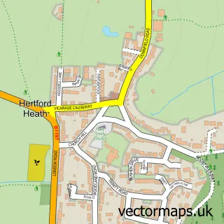
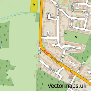
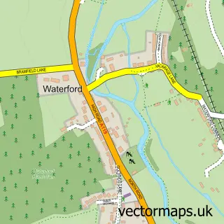
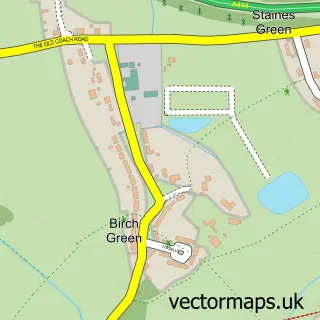
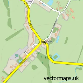
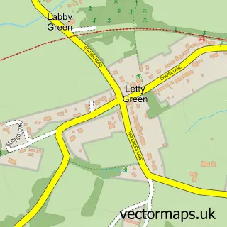
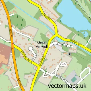
Nearby street map samples around Hertford

More street maps in Hertfordshire
750 metre map area coverage
Boundary, postcode and point of interest information for the 750m x 750m rectangle centred on this sample map.
Boundaries containing map centre
Constituency: Hertford and Stortford Co Const
County: Hertfordshire County
District: East Hertfordshire District
Icb: NHS Central East ICB
Parish: Hertford CP
Police Force: hertfordshire
Postcode District: SG14
Postcode Sector: SG14 1
Ward: Hertford Castle Ward
Nearby boundaries intersecting sample
Postcode District: SG13
Postcode Sector: SG13 7, SG13 8, SG14 3
Ward: Hertford Bengeo Ward, Hertford Kingsmead Ward
Postcode coverage
POI category counts
Professional Services: 25
Hair Salon: 24
Pub: 23
Real Estate Agent: 21
Beauty Salon: 18
Advertising Agency: 16
Employment Agencies: 15
Property Management: 14
Coffee Shop: 13
Restaurant: 13
Sample points of interest
- Bircherley Court
- Cook & Partners
- Eversley Accountancy Services
- Eversley Accounting Services Ltd.
- Philip T Chave & Co.
- Project H Accountants
- TC Group
- Timewise Bookkeeping Services
- Hertford Acupuncture Clinic
- Hertford Centre of Acupuncture and Chinese Medicine
- Kerry Rutherford Acupuncture
- The Dragonfly Centre
Create a larger editable map of Hertford
This sample shows only a 750 metre area. To create a larger map of Hertford, use our map builder to choose your own coverage area, add titles and download editable SVG, PDF and PNG files.
Create a custom map of Hertford