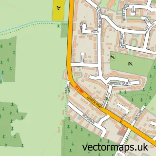
This Hertingfordbury street map is a detailed vector street map covering a 750m x 750m area. Select a larger area to create and download your own vector street map of Hertingfordbury.
The 750-metre map sample for Hertingfordbury covers 88 mapped buildings and approximately 9.4 km of road detail, of which 5 named roads are named. The immediate area includes 2 GP surgeries within 2 miles, 1 pub and 5 MOT stations within 2 miles. The wider area around Hertingfordbury features 1 tourism point of interest, 1 food and drink venue and 1 hotel. To create a larger or custom map of Hertingfordbury, the map builder lets you define your own coverage area and download editable SVG, PDF and PNG files.
Create a larger editable map of Hertingfordbury
Choose any area you need and generate a high-quality vector map instantly. Perfect for print, planning, design, business and personal use.

This Hertingfordbury street map in Hertfordshire is available as downloadable SVG, PDF and PNG map files, or as a printed map for planning, business, display, education, local information and design work. You can also create a larger custom map area using the map selector.
What this Hertingfordbury map sample shows
Hertingfordbury lies within Hertford Cp parish, part of Hertford Castle ward in the East Hertfordshire District local authority area. The postcode geography for this area includes the SG postcode area, the SG14 postcode district and the SG14 2 postcode sector. Residents fall under the Nhs Hertfordshire And West Essex Integrated Care Board for NHS services.
Local features near Hertingfordbury
Within 2 milesAmenities and services in and around Hertingfordbury.
Administrative and postcode information for Hertingfordbury
The local authority covering Hertingfordbury is East Hertfordshire District, within the county of Hertfordshire. The settlement lies within Hertford Castle ward and Hertford Cp civil parish. The SG14 postcode district and SG14 2 postcode sector serve the immediate area. NHS provision in the area is delivered through East And North Hertfordshire Nhs Trust.
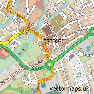
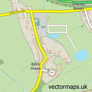
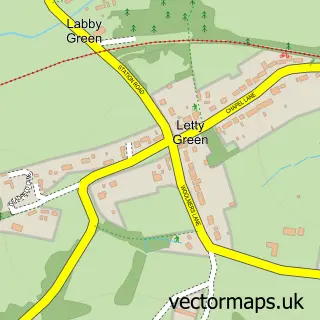
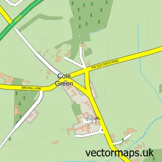
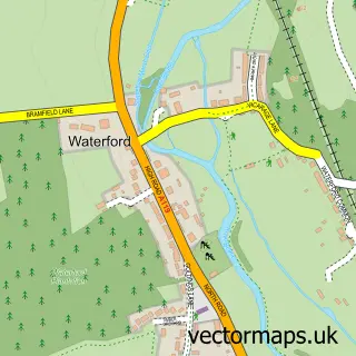
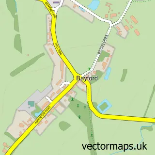
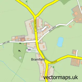
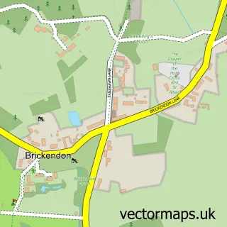
Nearby street map samples around Hertingfordbury

More street maps in Hertfordshire
750 metre map area coverage
Boundary, postcode and point of interest information for the 750m x 750m rectangle centred on this sample map.
Boundaries containing map centre
Constituency: Hertford and Stortford Co Const
County: Hertfordshire County
District: East Hertfordshire District
Icb: NHS Central East ICB
Parish: Hertford CP
Police Force: hertfordshire
Postcode District: SG14
Postcode Sector: SG14 2
Ward: Hertford Castle Ward
Nearby boundaries intersecting sample
Constituency: North East Hertfordshire Co Const
Parish: Hertingfordbury CP
Ward: Hertford Rural Ward
Postcode coverage
POI category counts
Anglican Church: 1
Day Care Preschool: 1
Elementary School: 1
Event Planning: 1
Hotel: 1
Landmark And Historical Building: 1
Martial Arts Club: 1
Pub: 1
Social Club: 1
Sports Club And League: 1
Sample points of interest
- St Mary's, Hertingfordbury
- Mini Cowper Preschool
- St Joseph's in the Park Parents' Fellowship
- Mayflower Place
- The White Horse Hotel
- St Marys Hertingfordbury Hertfordshire
- Shotokan Karate KSTSK
- The White Horse, Hertingfordbury
- Mayflower Place
- Hertingfordbury Cricket Club
- Hertingfordbury railway station
Create a larger editable map of Hertingfordbury
This sample shows only a 750 metre area. To create a larger map of Hertingfordbury, use our map builder to choose your own coverage area, add titles and download editable SVG, PDF and PNG files.
Create a custom map of Hertingfordbury