This Cole Green street map is a detailed vector street map covering a 750m x 750m area. Select a larger area to create and download your own vector street map of Cole Green.
The 750-metre map sample for Cole Green covers 63 mapped buildings and approximately 13.0 km of road detail, of which 4 named roads are named. The immediate area includes 1 GP surgery within 2 miles, 3 pubs and 1 MOT station within 2 miles. The wider area around Cole Green features 3 food and drink venues. To create a larger or custom map of Cole Green, the map builder lets you define your own coverage area and download editable SVG, PDF and PNG files.
Create a larger editable map of Cole Green
Choose any area you need and generate a high-quality vector map instantly. Perfect for print, planning, design, business and personal use.

This Cole Green street map in Hertfordshire is available as downloadable SVG, PDF and PNG map files, or as a printed map for planning, business, display, education, local information and design work. You can also create a larger custom map area using the map selector.
What this Cole Green map sample shows
Cole Green lies within Hertingfordbury Cp parish, part of Hertford Rural South ward in the East Hertfordshire District local authority area. The postcode geography for this area includes the SG postcode area, the SG14 postcode district and the SG14 2 postcode sector. Residents fall under the Nhs Hertfordshire And West Essex Integrated Care Board for NHS services.
Local features near Cole Green
Within 2 milesAmenities and services in and around Cole Green.
Administrative and postcode information for Cole Green
The local authority covering Cole Green is East Hertfordshire District, within the county of Hertfordshire. The settlement lies within Hertford Rural South ward and Hertingfordbury Cp civil parish. The SG14 postcode district and SG14 2 postcode sector serve the immediate area. NHS provision in the area is delivered through East And North Hertfordshire Nhs Trust.
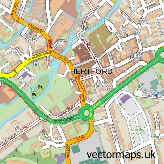
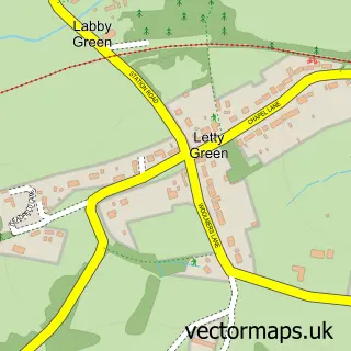
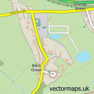
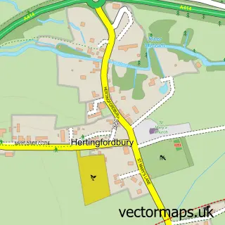
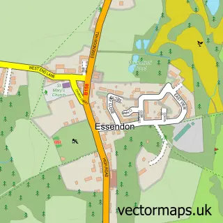
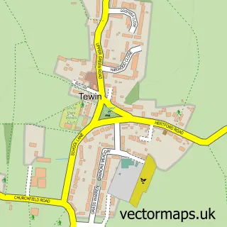
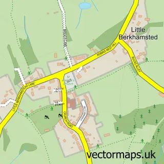
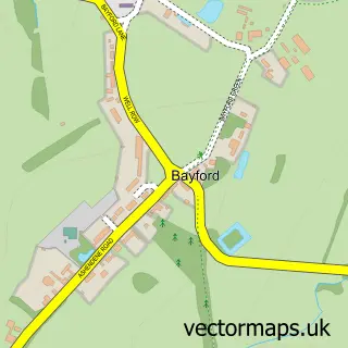
Nearby street map samples around Cole Green

More street maps in Hertfordshire
750 metre map area coverage
Boundary, postcode and point of interest information for the 750m x 750m rectangle centred on this sample map.
Boundaries containing map centre
Constituency: North East Hertfordshire Co Const
County: Hertfordshire County
District: East Hertfordshire District
Icb: NHS Central East ICB
Parish: Hertingfordbury CP
Police Force: hertfordshire
Postcode District: SG14
Postcode Sector: SG14 2
Ward: Hertford Rural Ward
Nearby boundaries intersecting sample
No additional intersecting boundaries found.
Postcode coverage
POI category counts
Pub: 3
Corporate Office: 2
Preschool: 2
Professional Services: 2
Advertising Agency: 1
Aquatic Pet Store: 1
Car Dealer: 1
Computer Hardware Company: 1
Elementary School: 1
Engineering Services: 1
Sample points of interest
- Honcho
- Aquatic Warehouse
- Old Colonel Cars Ltd
- Fast Hertford Locksmith
- Ithinkmedia
- iThinkMedia UK
- Munns Farm Day Nursery
- Evergreen Air Conditioning Ltd.
- Alliance Cleaning
- ClevaGroup
- Happy Hounds Herts
- Hertford Barns
Create a larger editable map of Cole Green
This sample shows only a 750 metre area. To create a larger map of Cole Green, use our map builder to choose your own coverage area, add titles and download editable SVG, PDF and PNG files.
Create a custom map of Cole Green